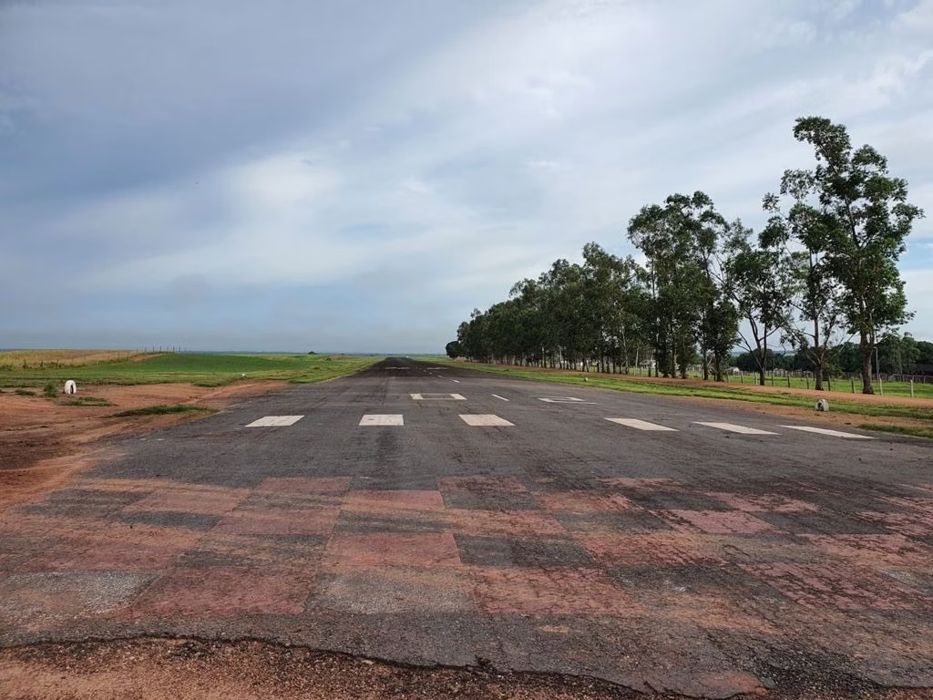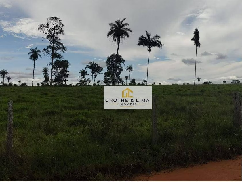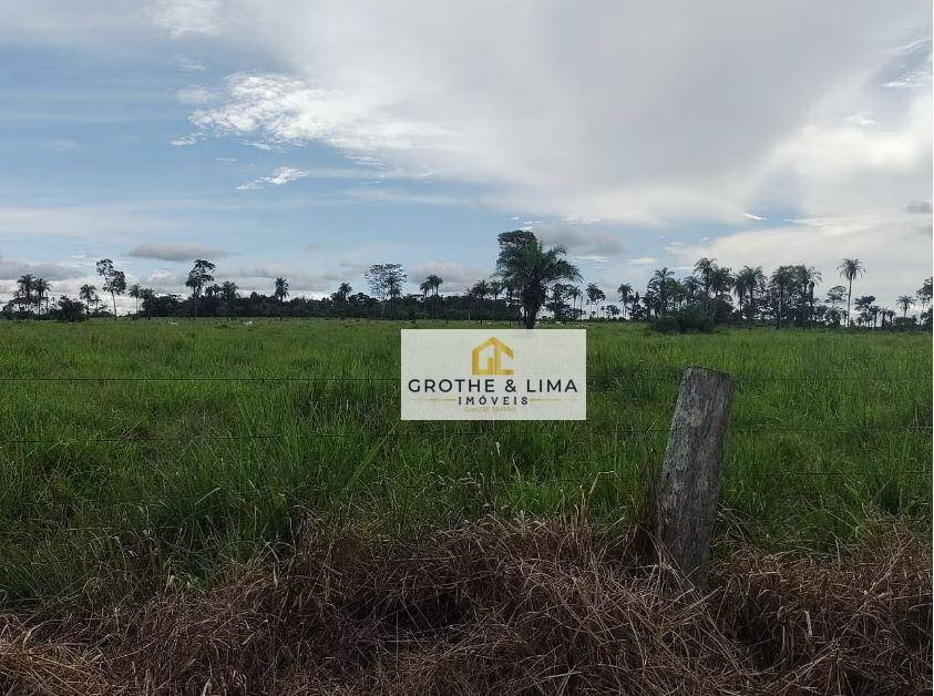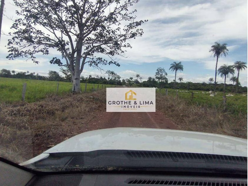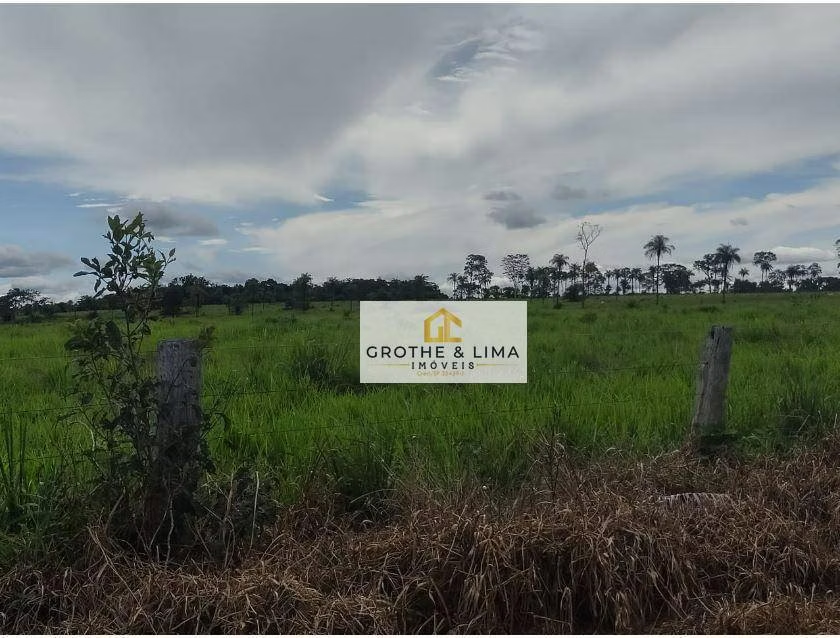
Farm in Araguaína, TO, Brazil
US$ 6.290.921
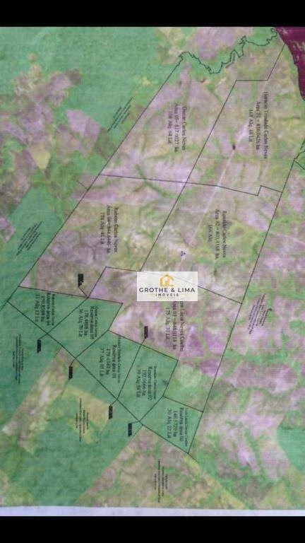
4.066,36 acres
US$ 2 mil/acres
*Selling price converted to USD on today's date. Not reflecting the original trading price of R$ 35.000.000
Contact
Property's carbon credit generation potential
1.338.860 credits
Understand how it was calculated
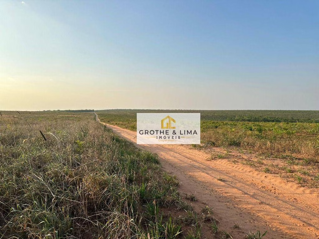
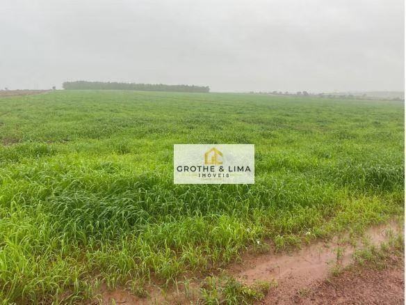
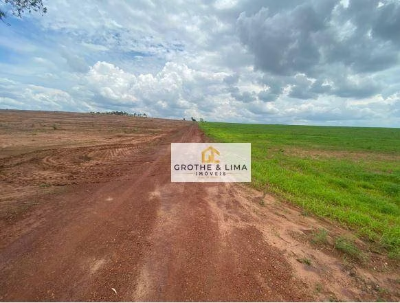
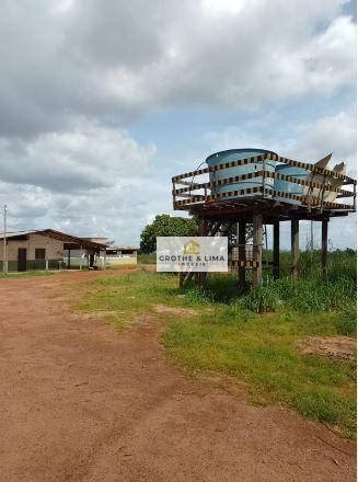
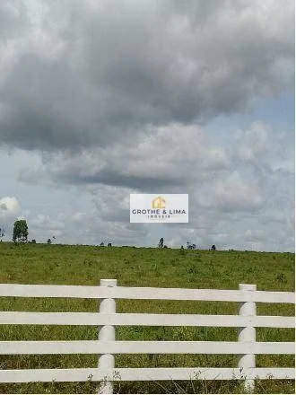
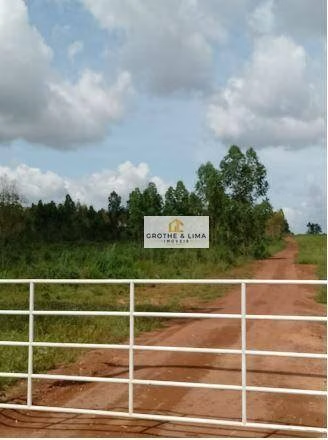
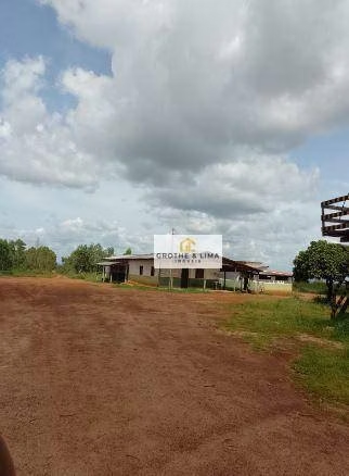
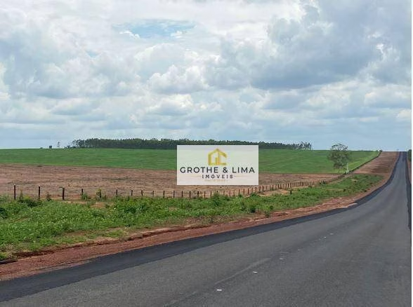
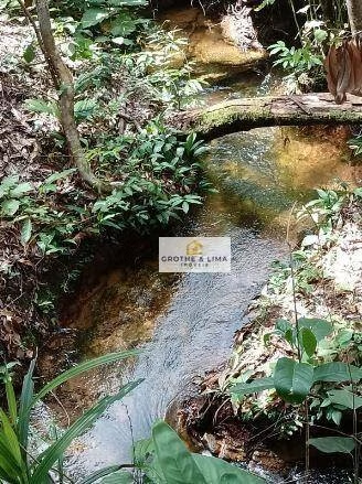
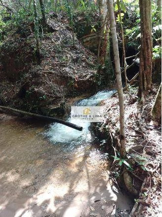
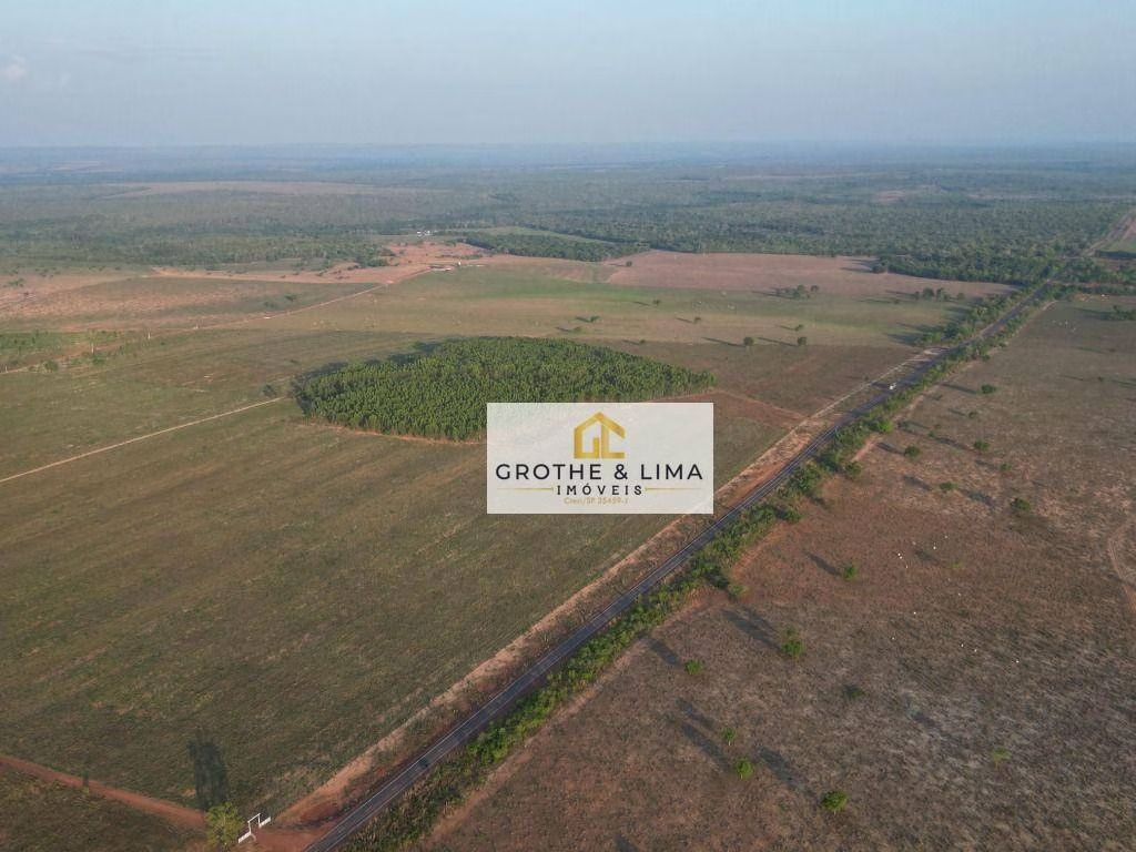
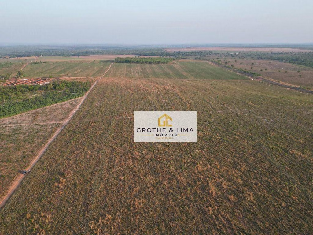
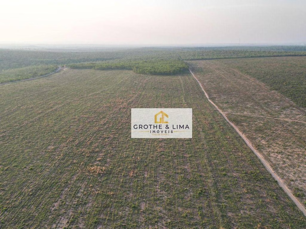
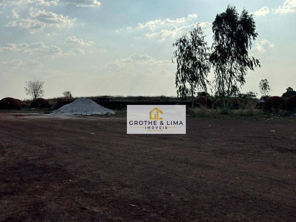
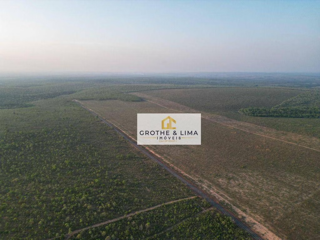
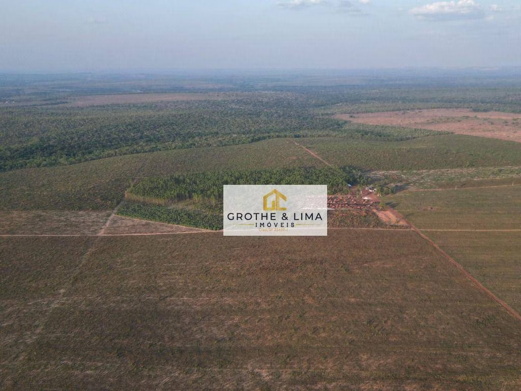
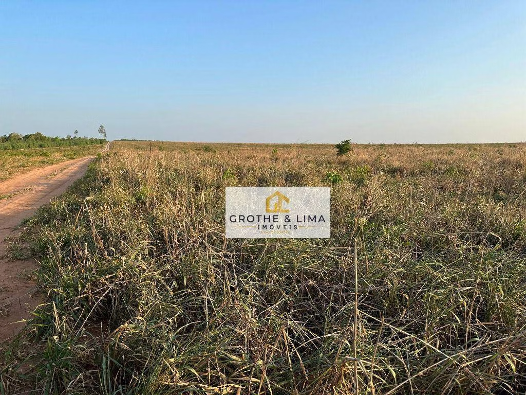
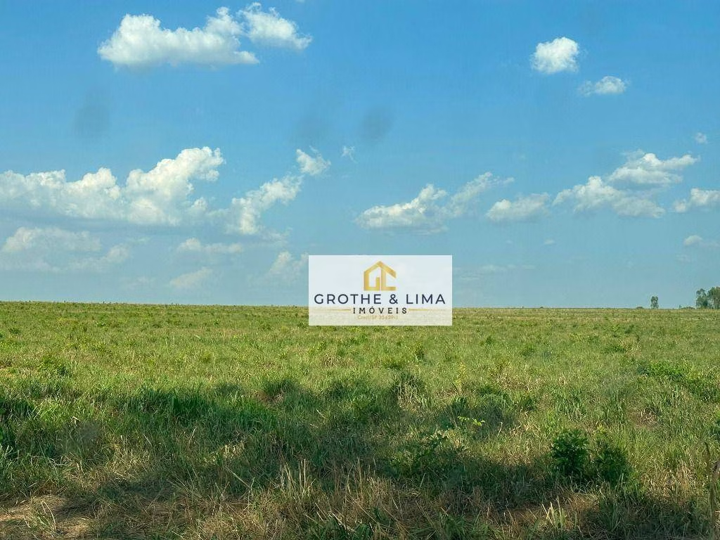
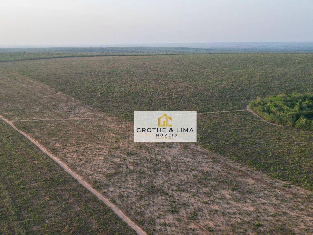
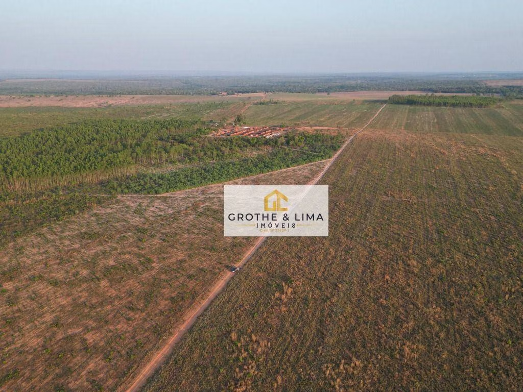
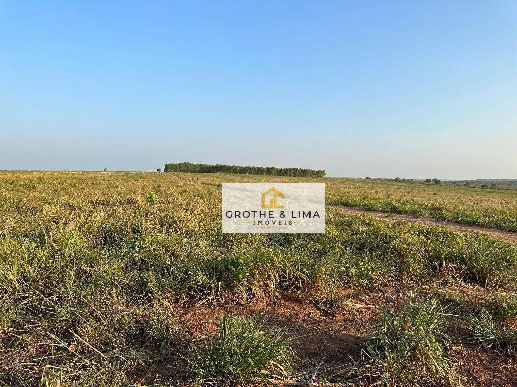
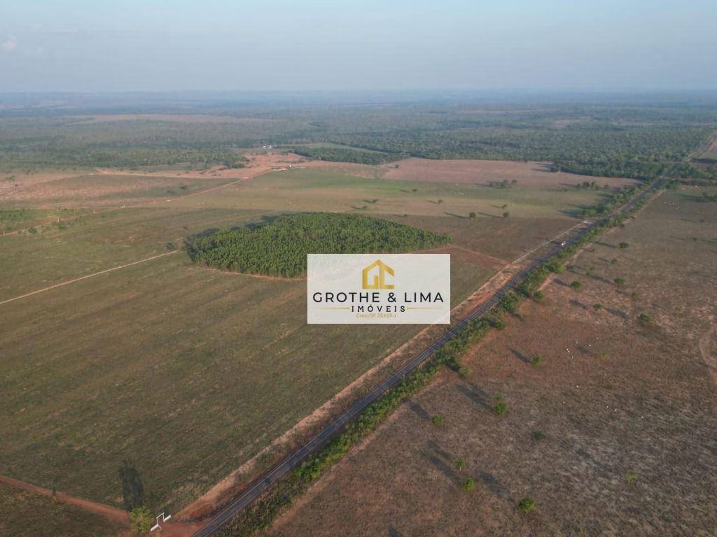
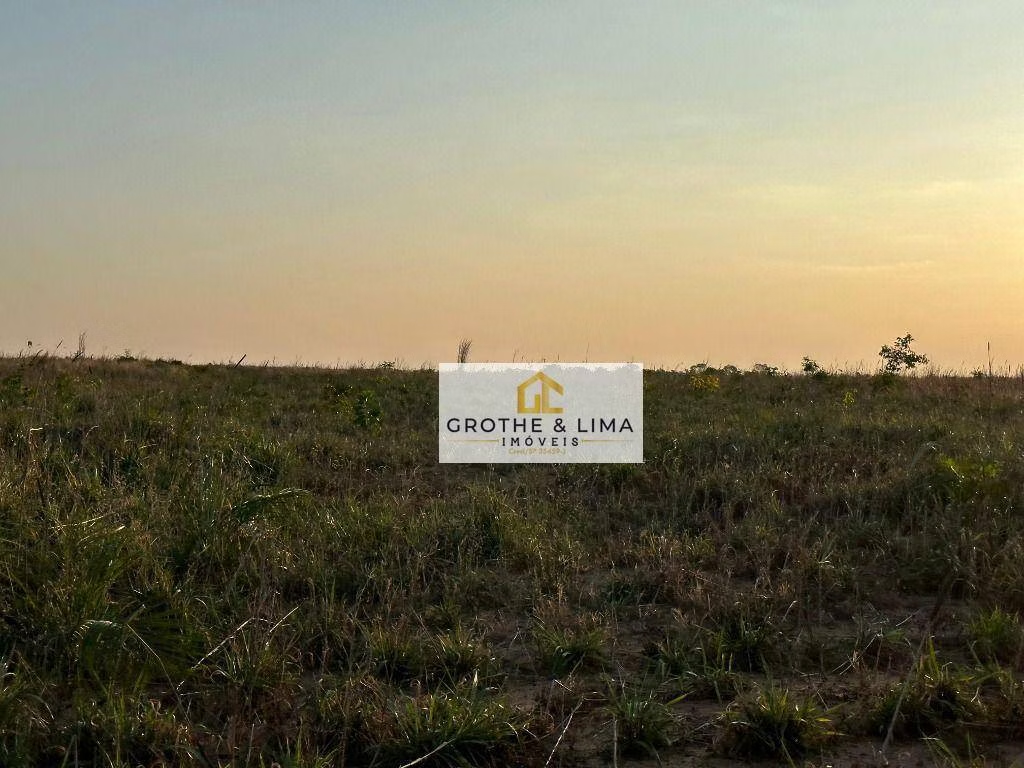
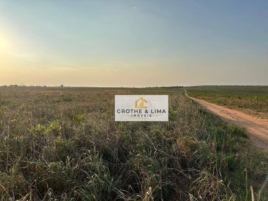
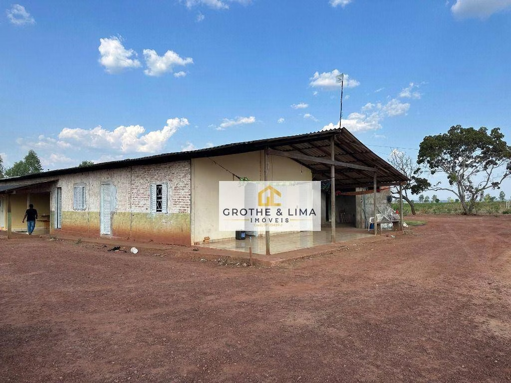
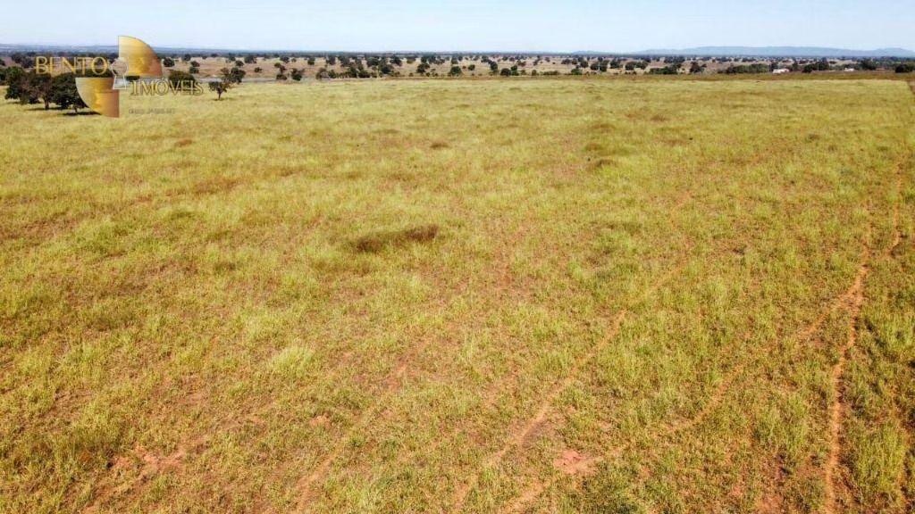
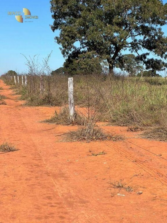
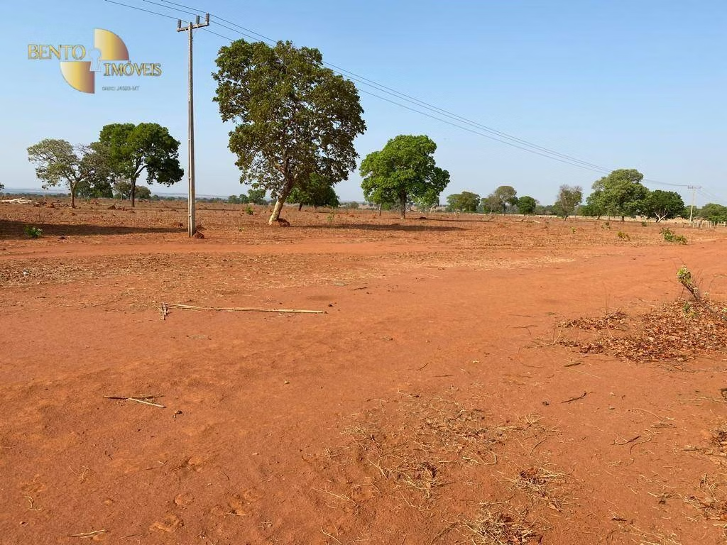
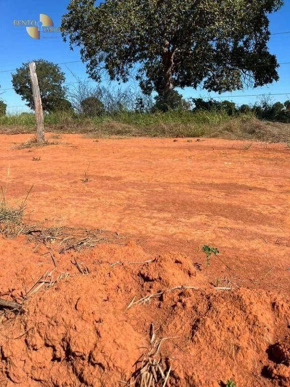
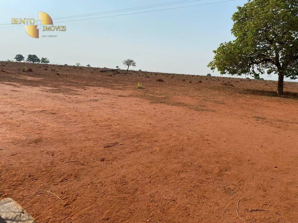
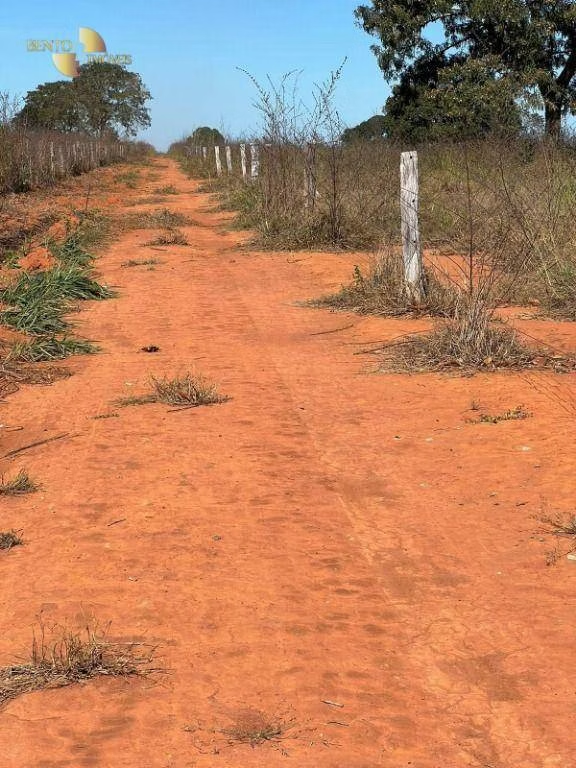
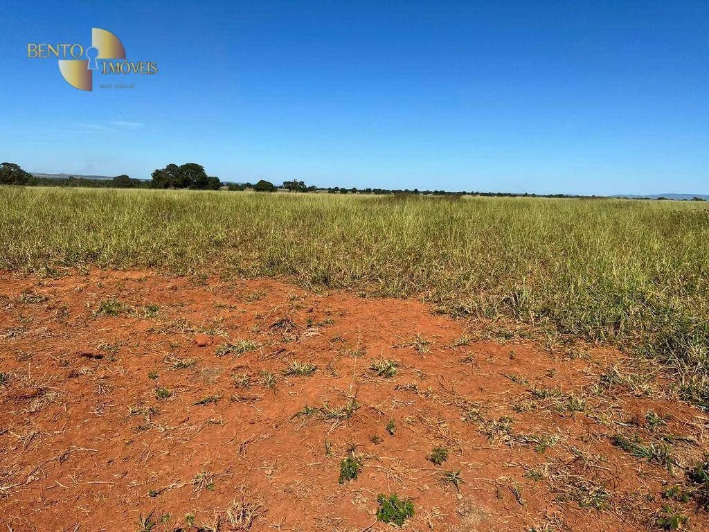
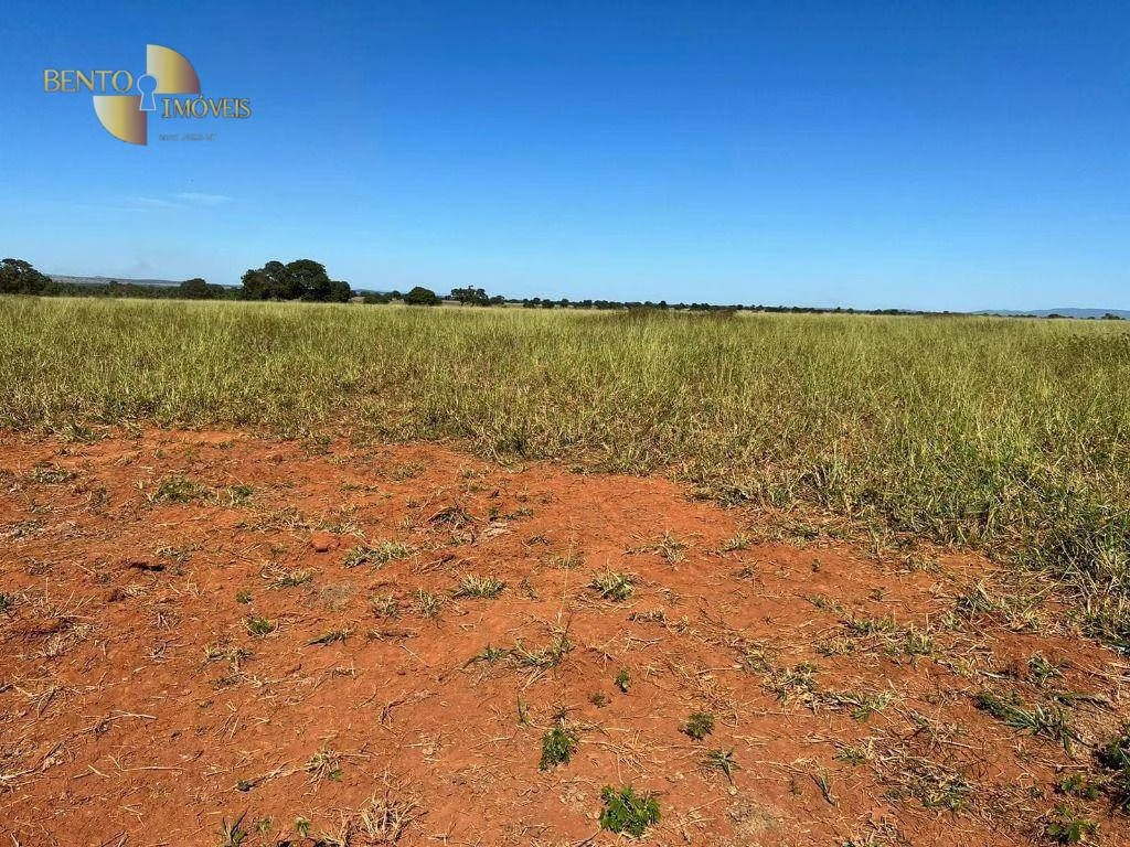
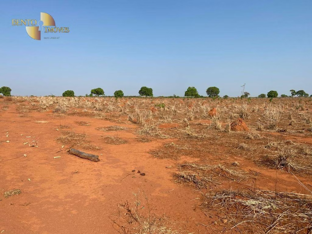
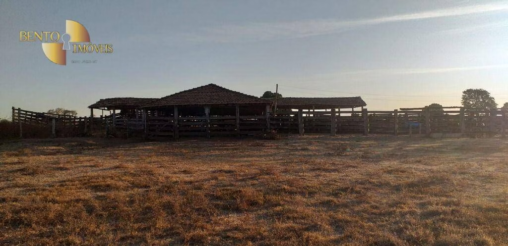
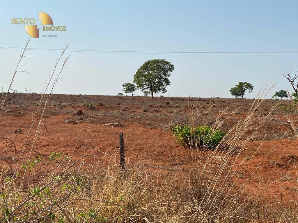
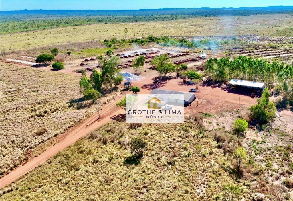
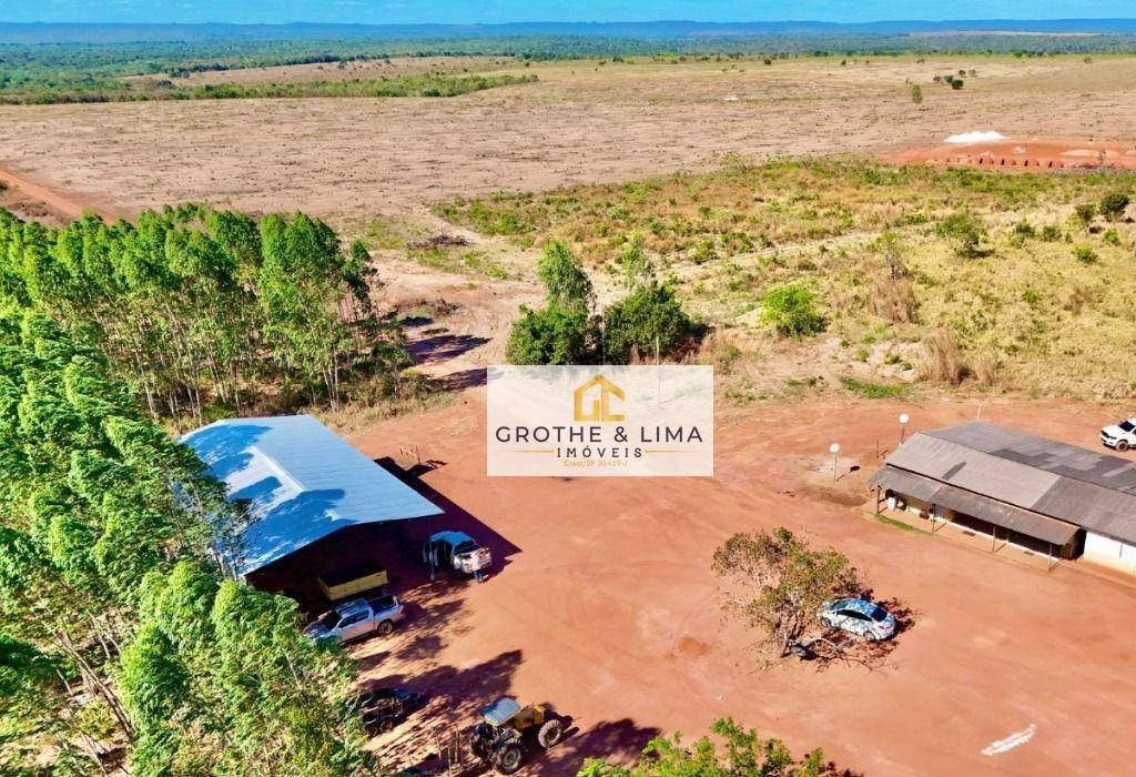
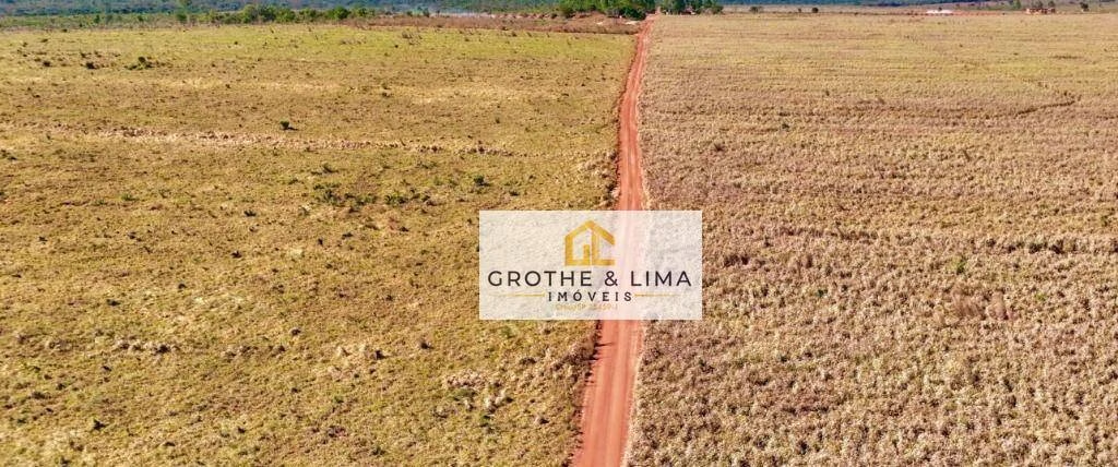
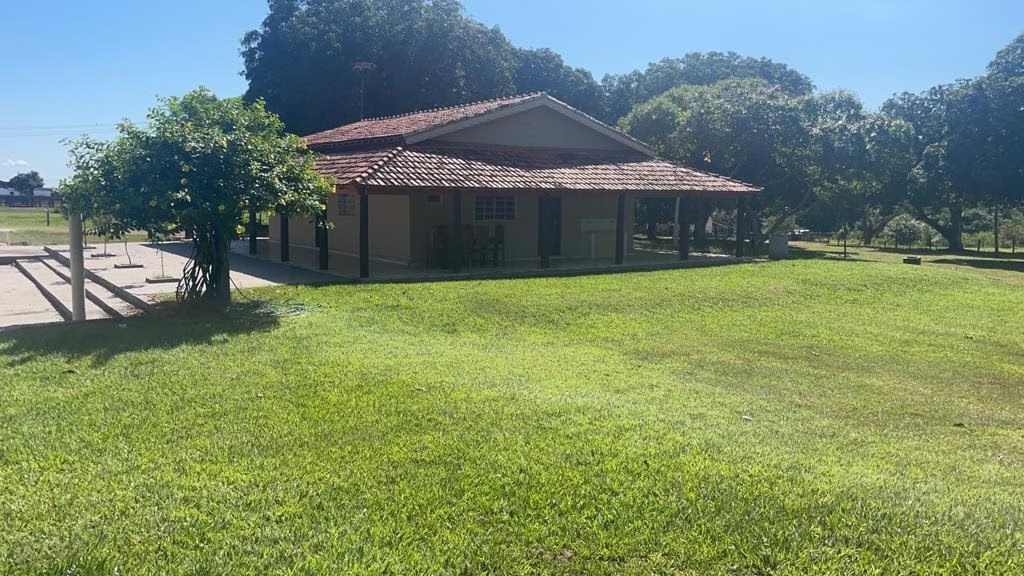
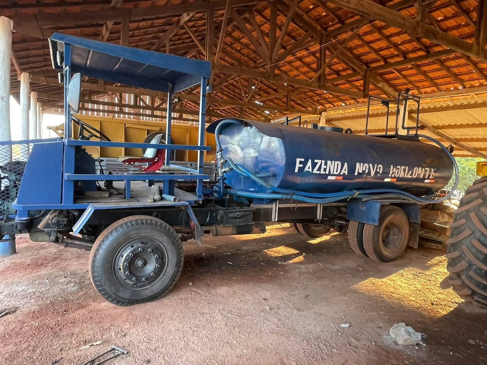
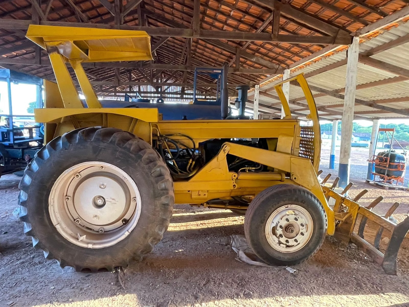
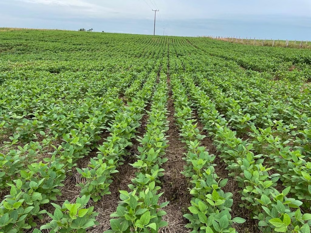
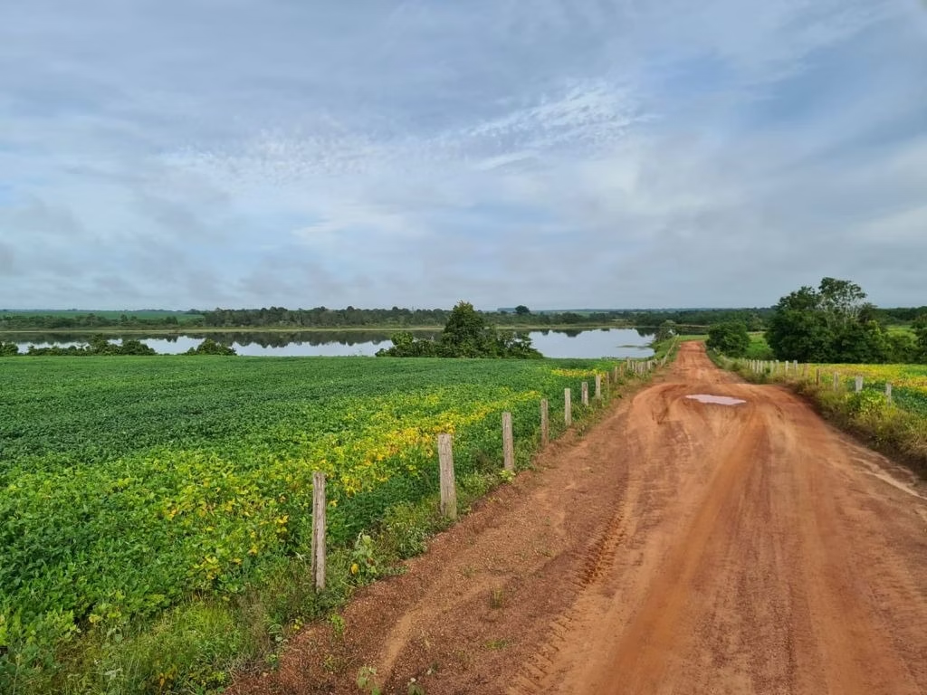
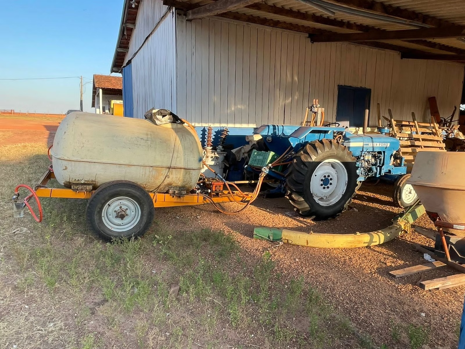
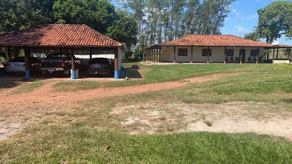
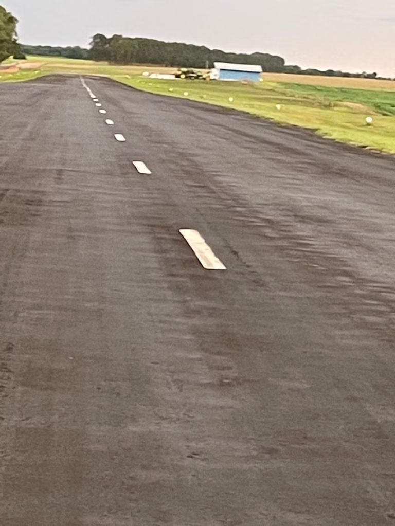
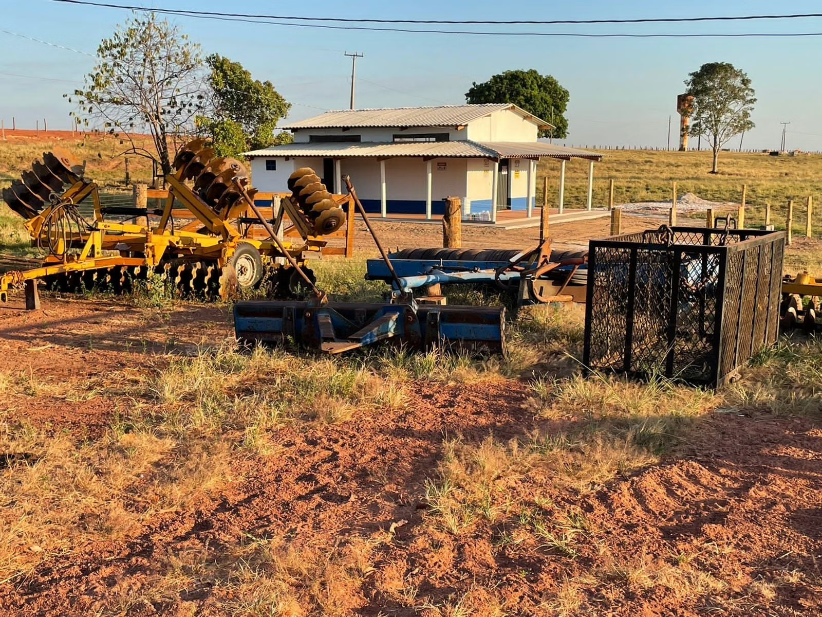
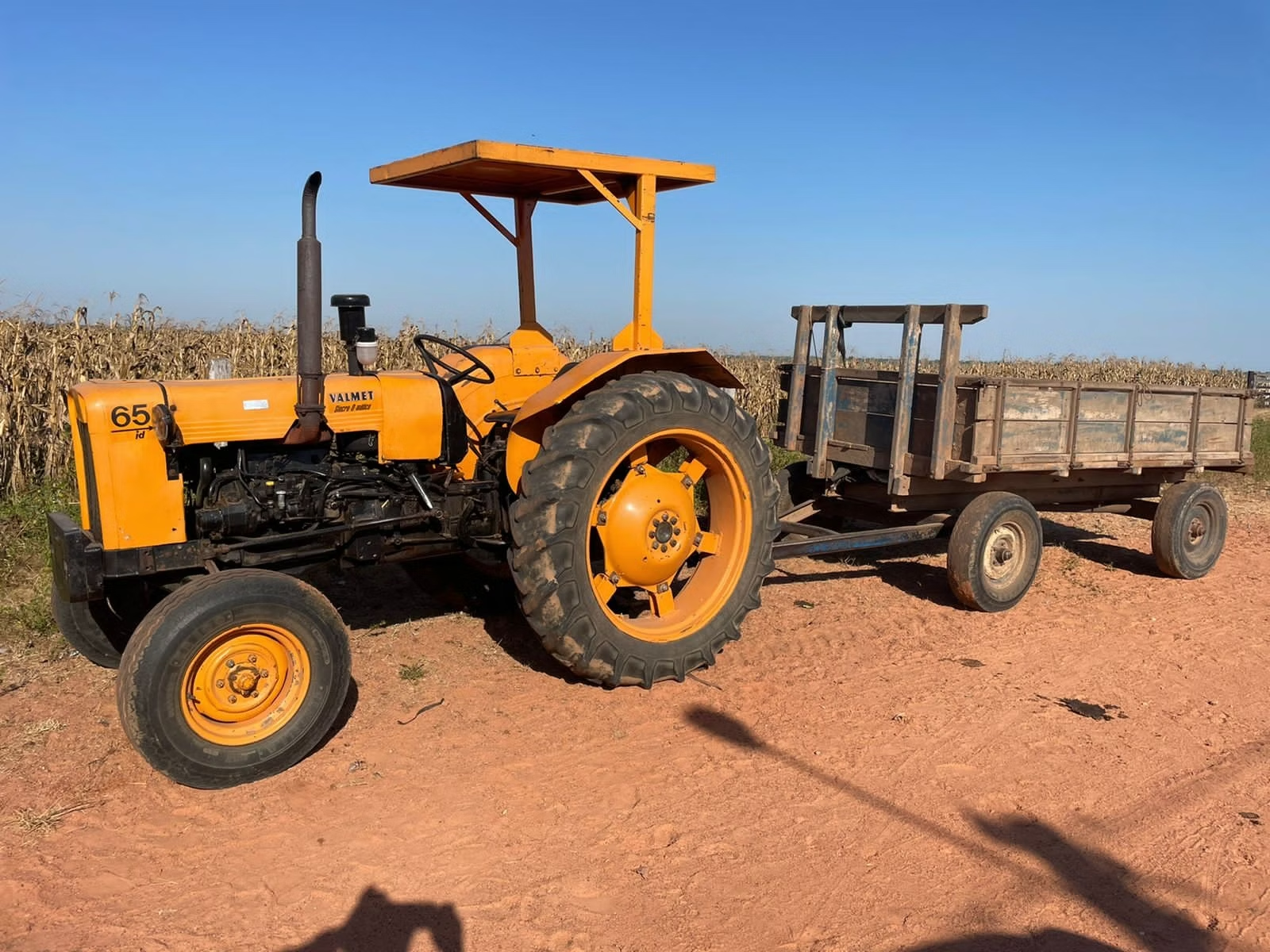
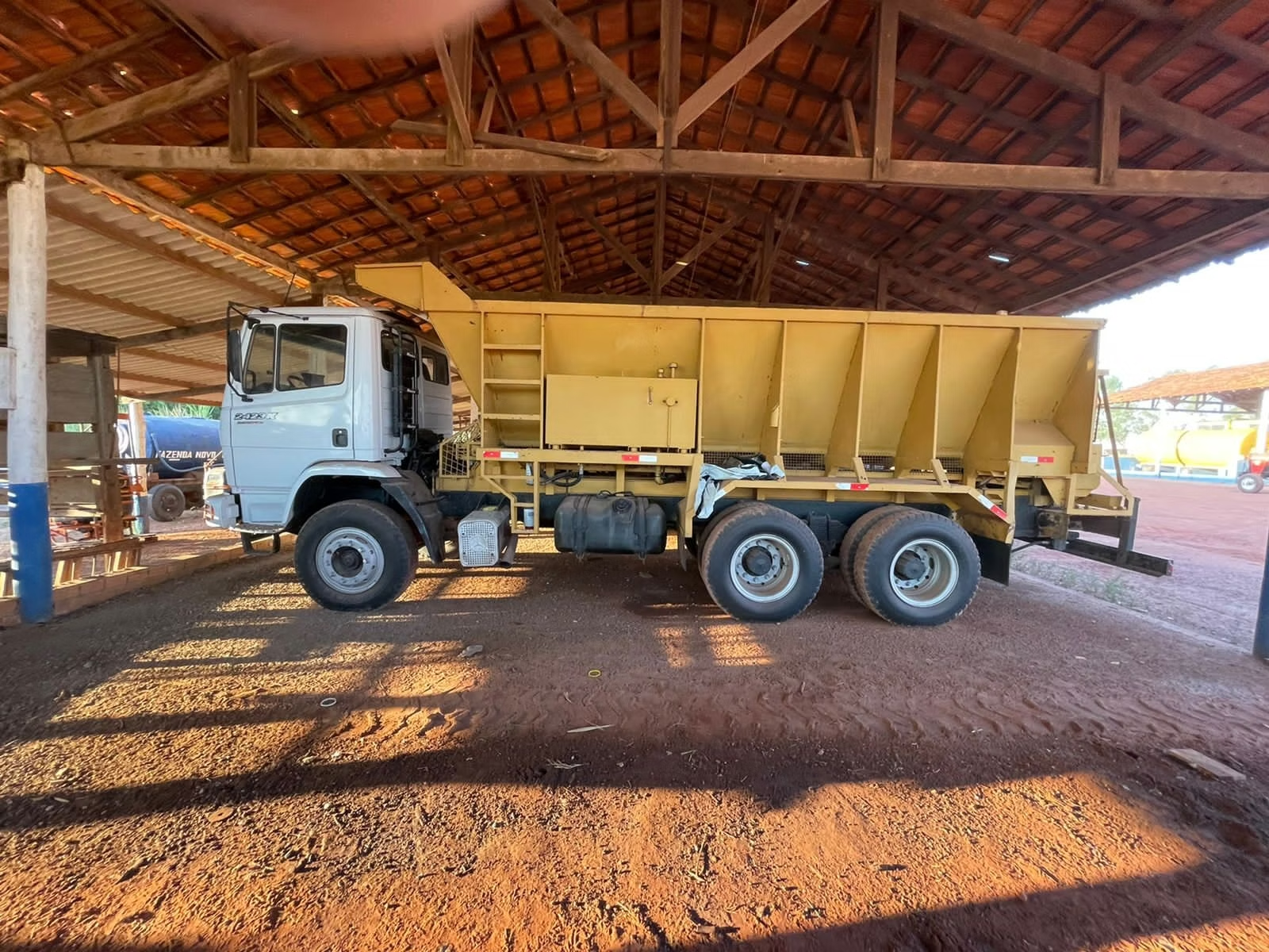
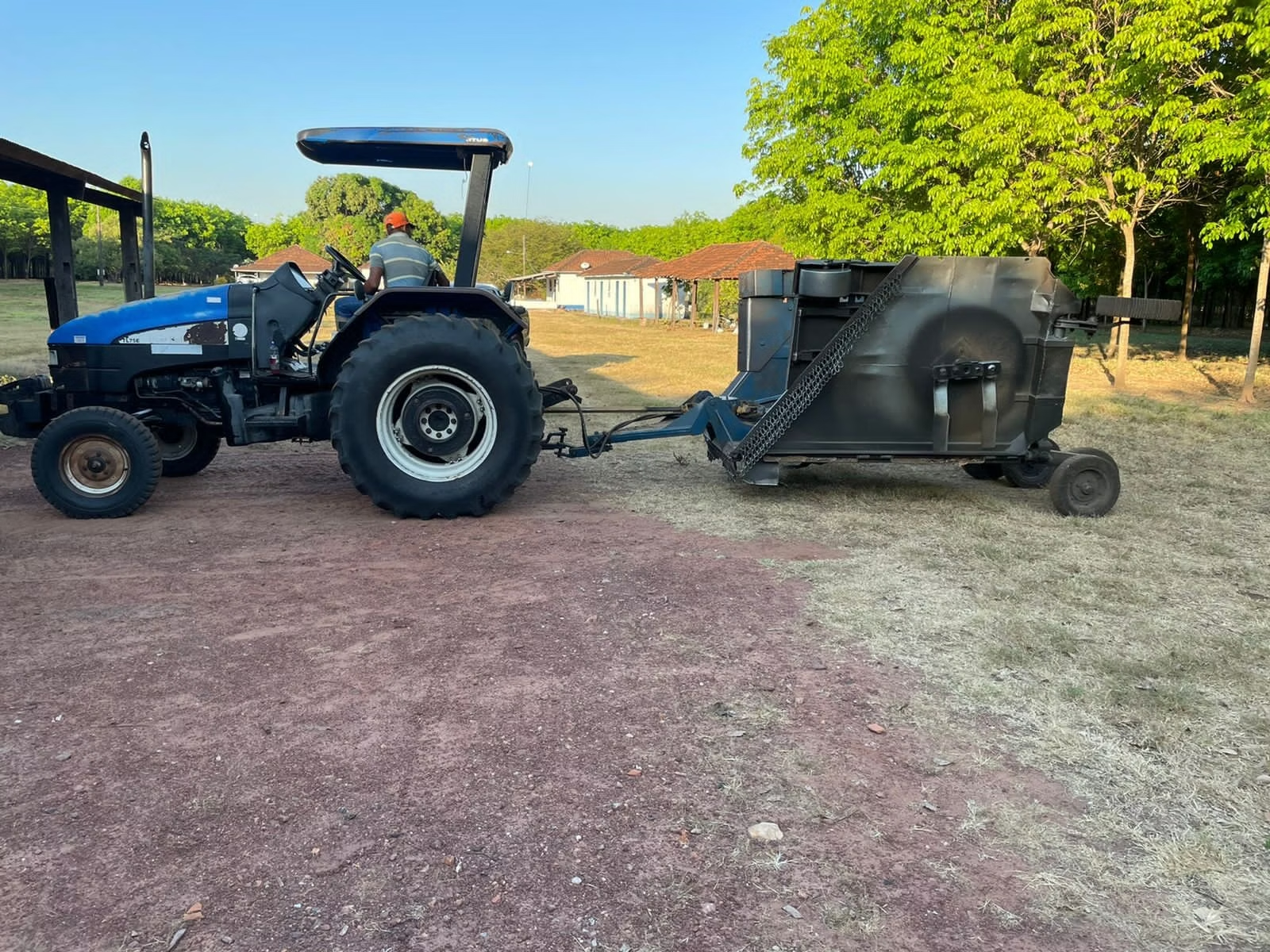
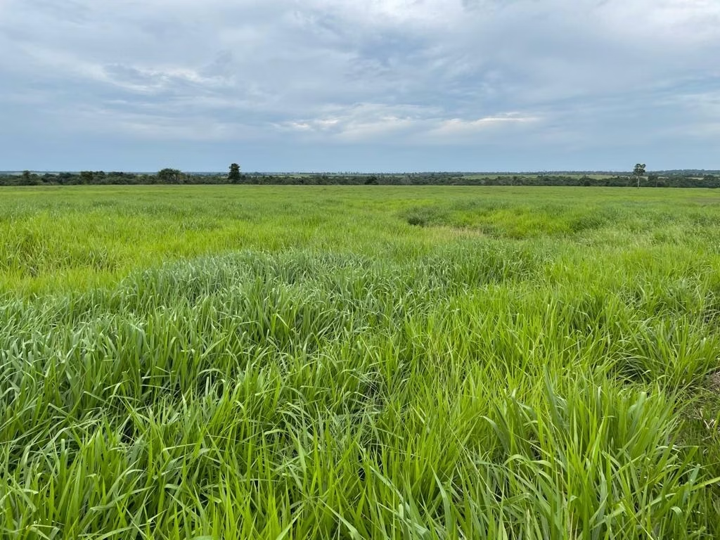
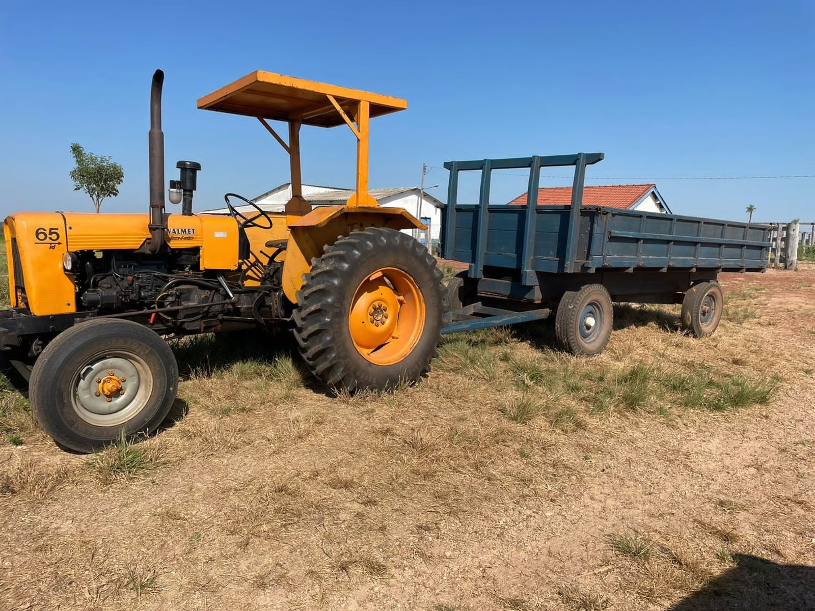
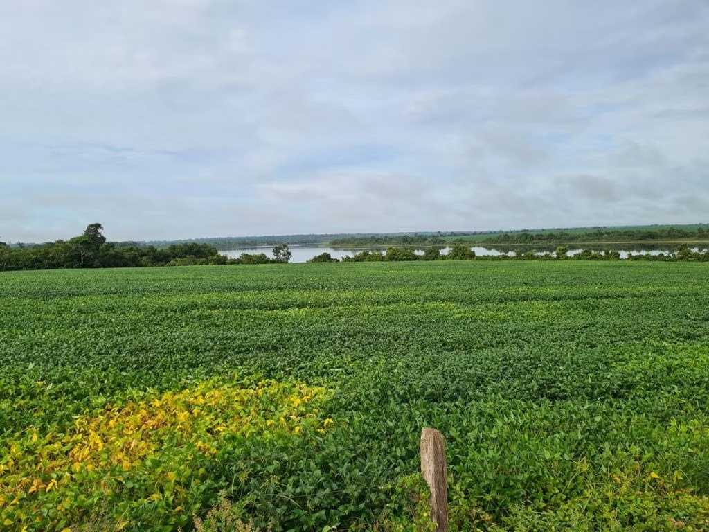
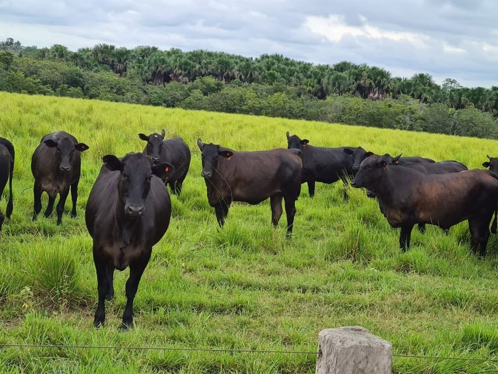
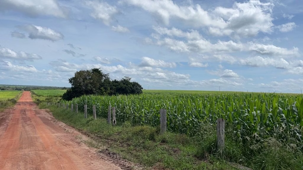
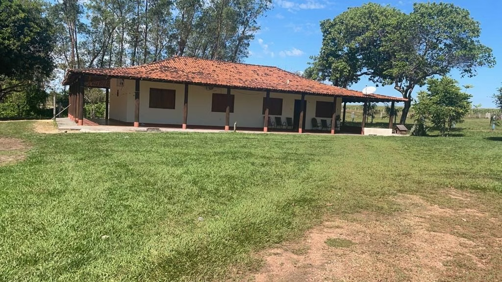
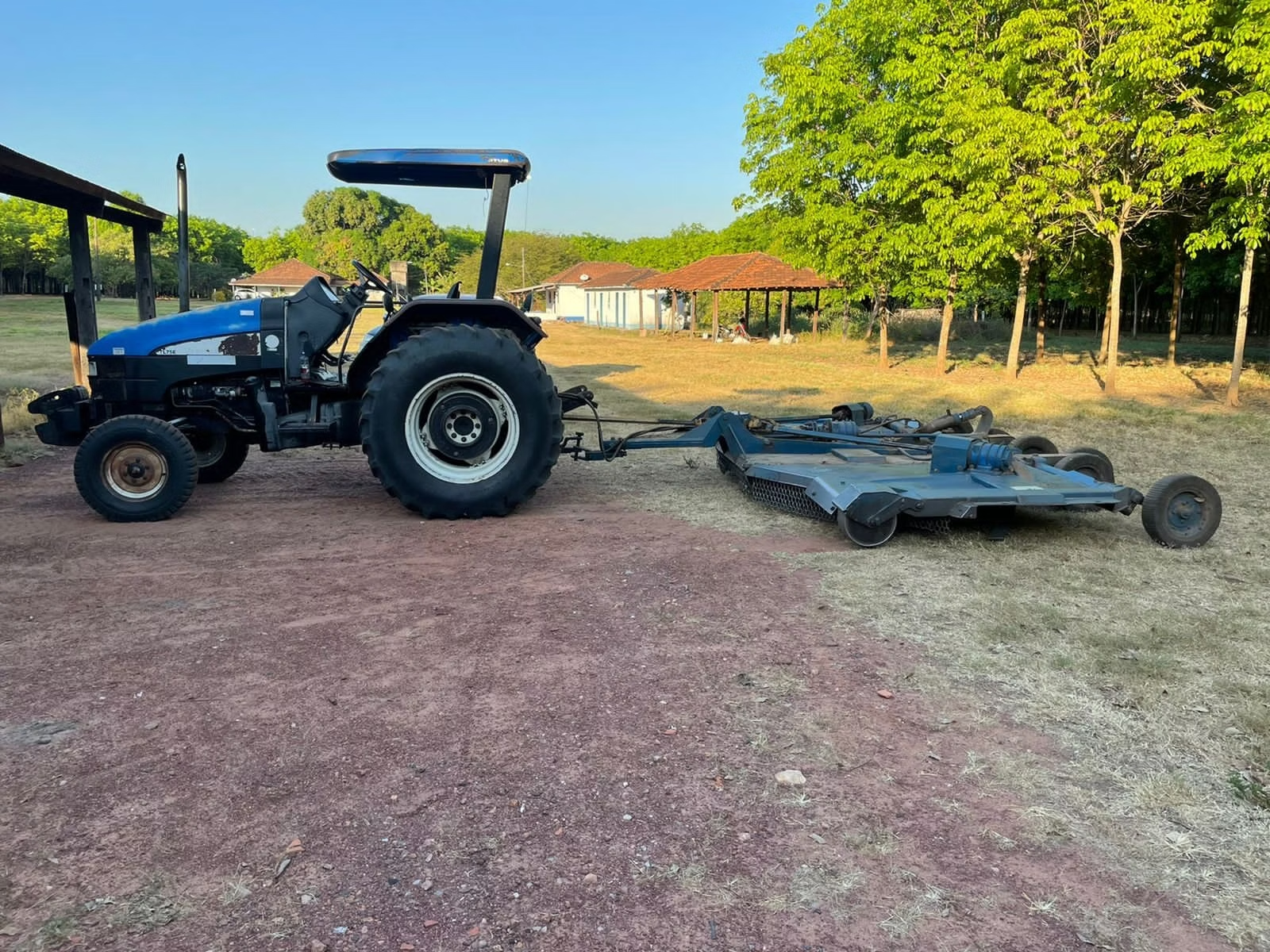
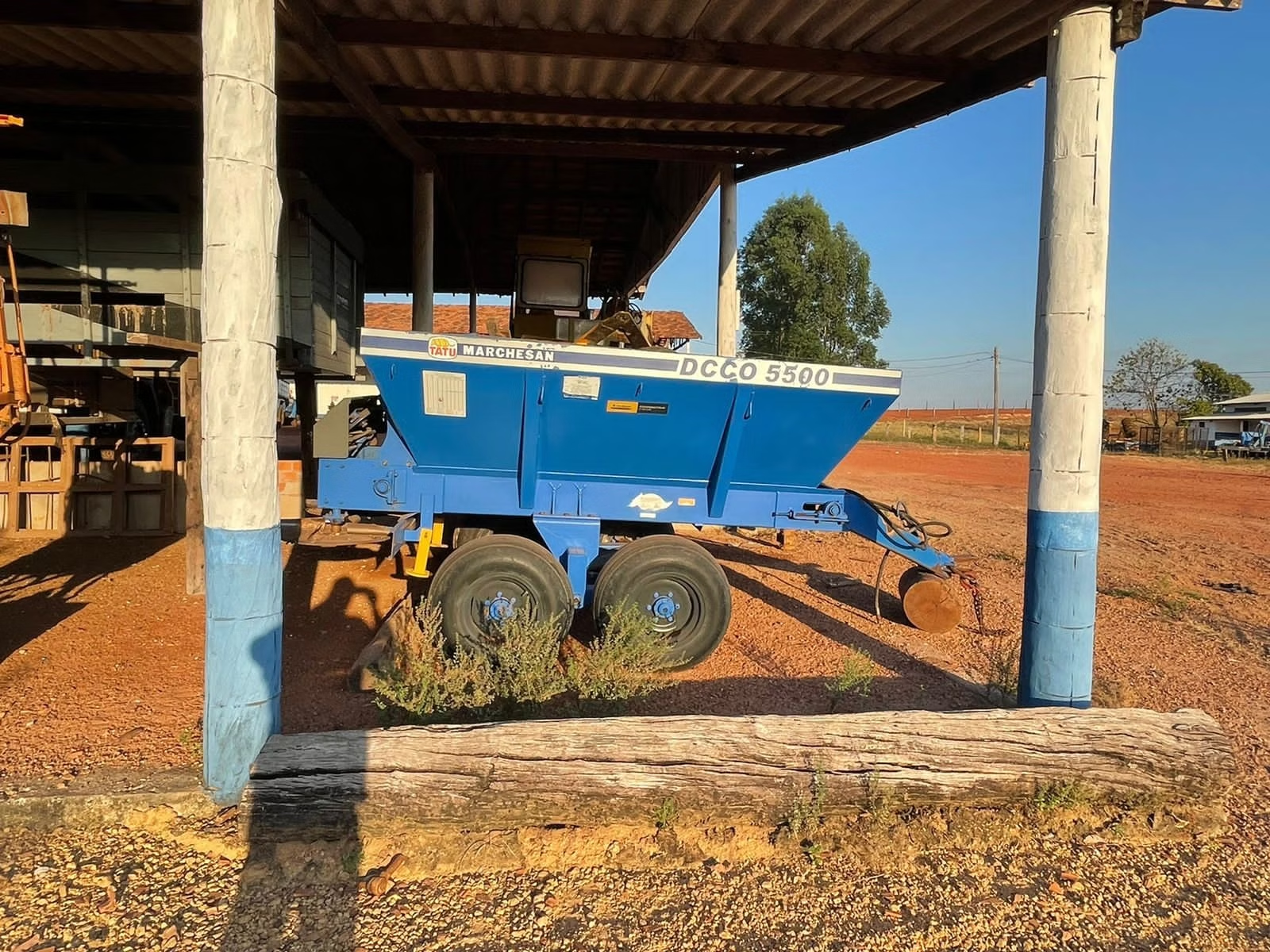
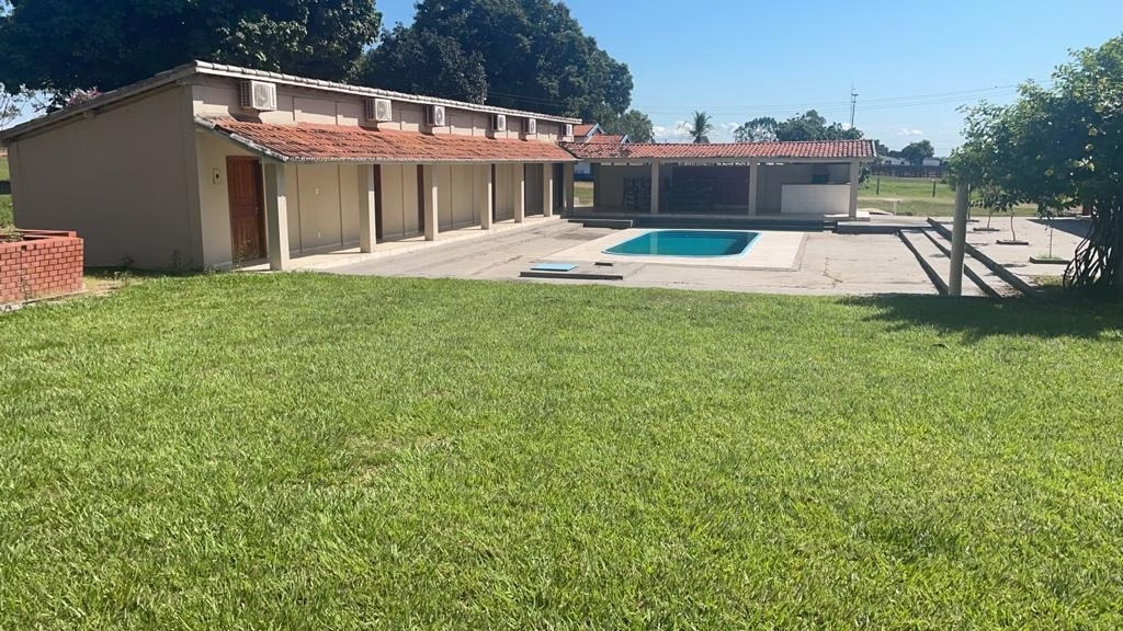
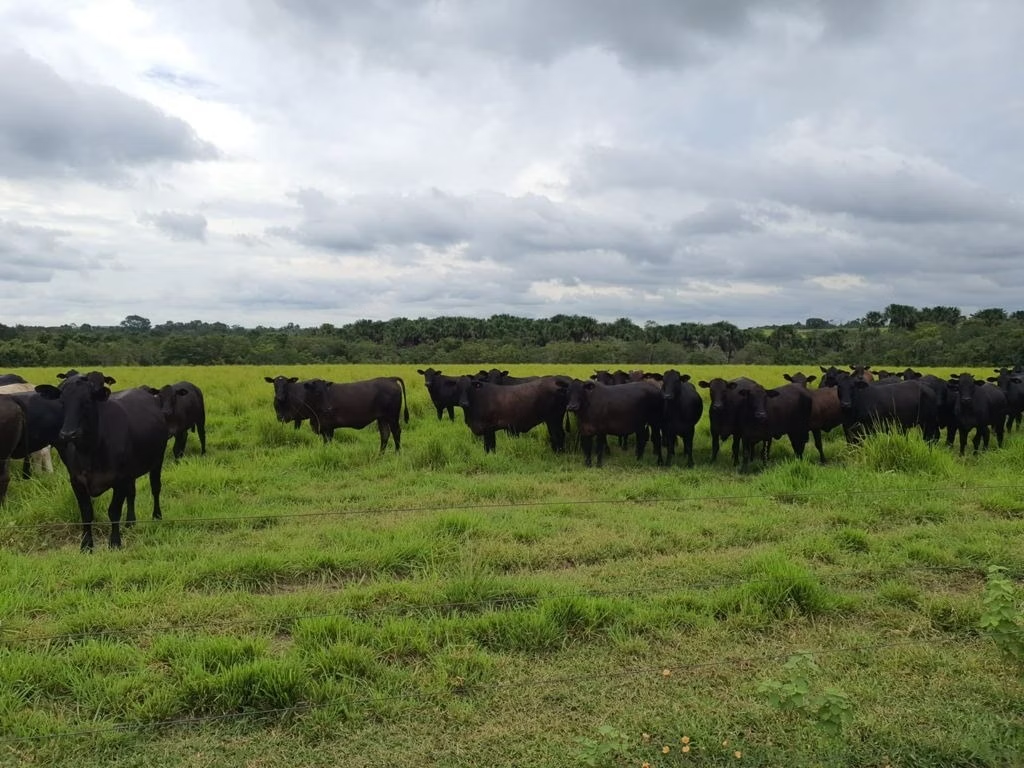
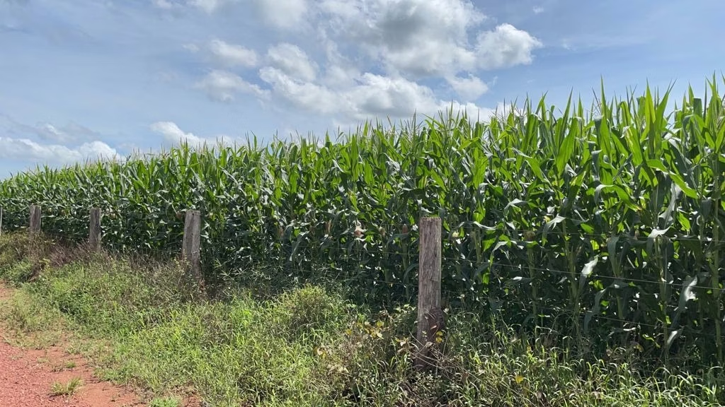
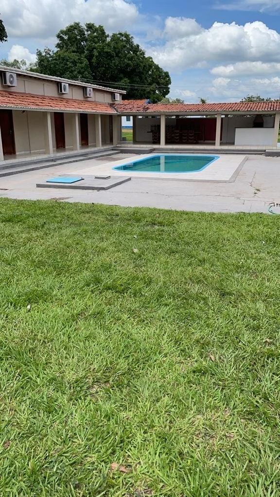
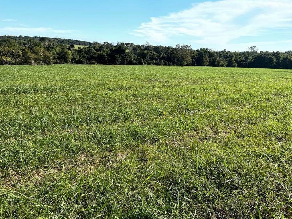
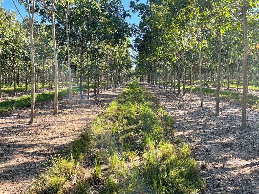
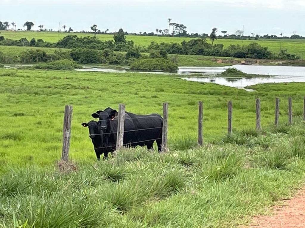
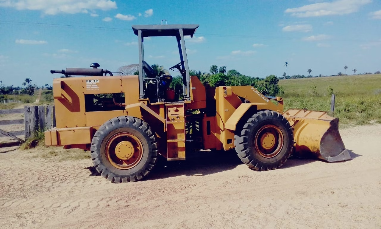
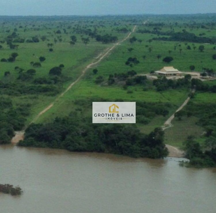
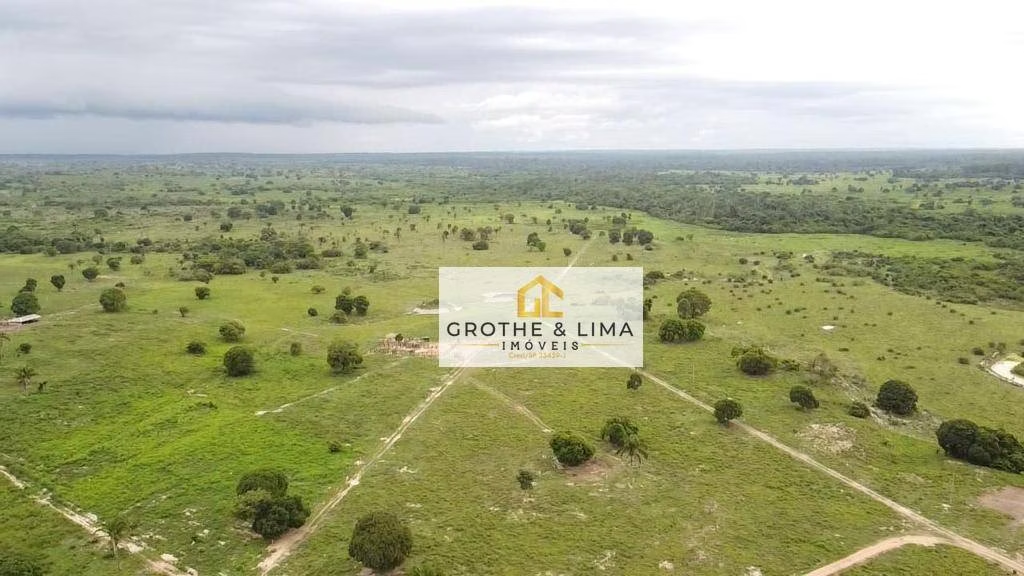
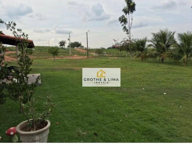
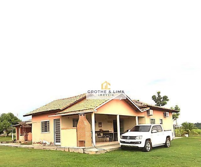
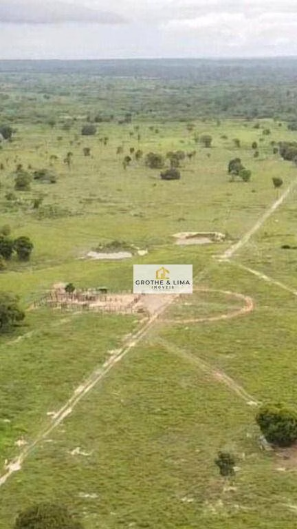
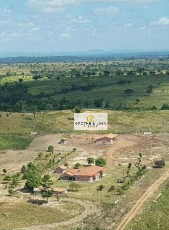
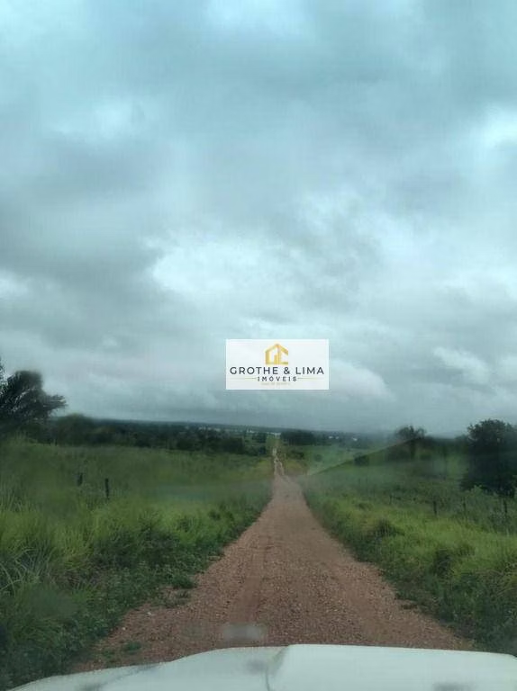
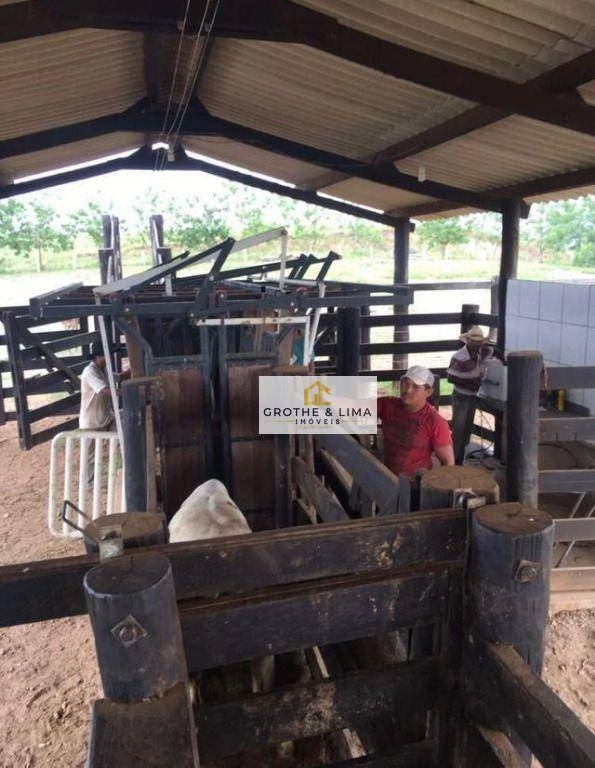
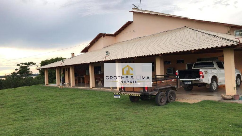
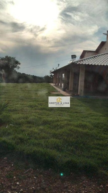
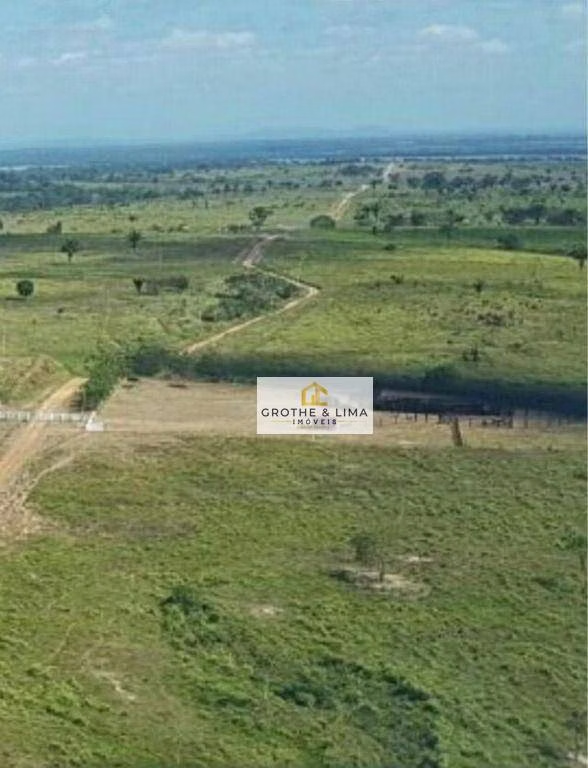
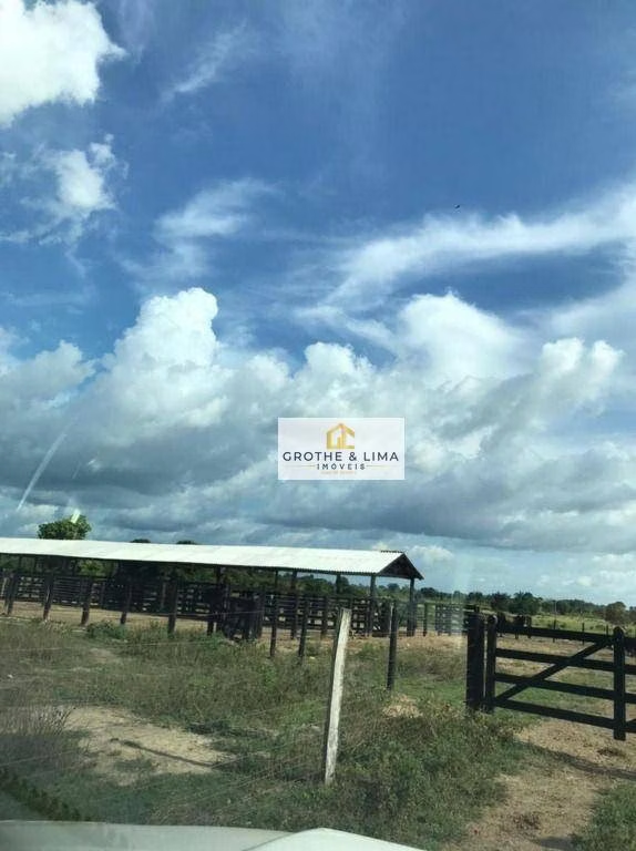
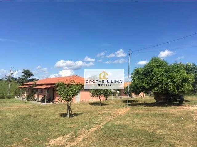
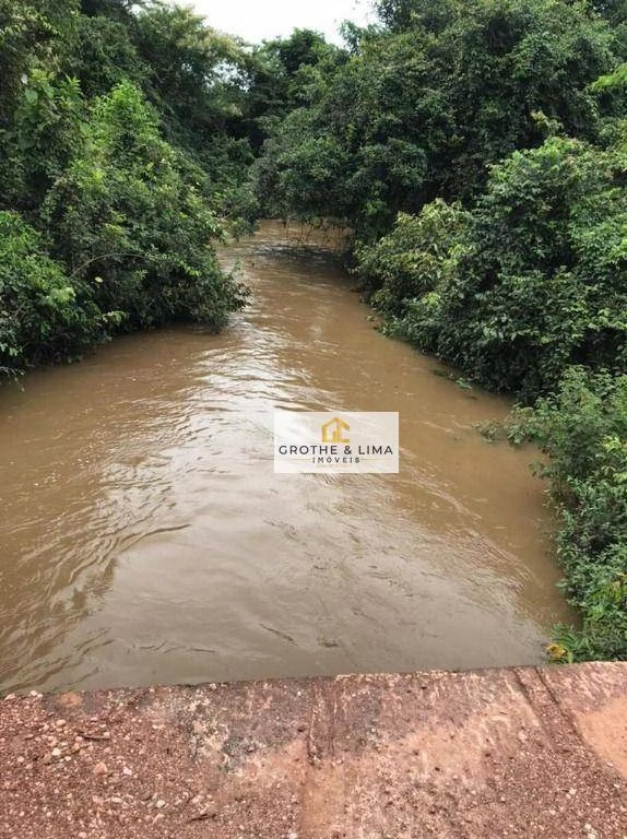
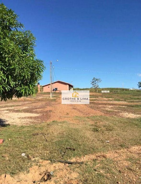
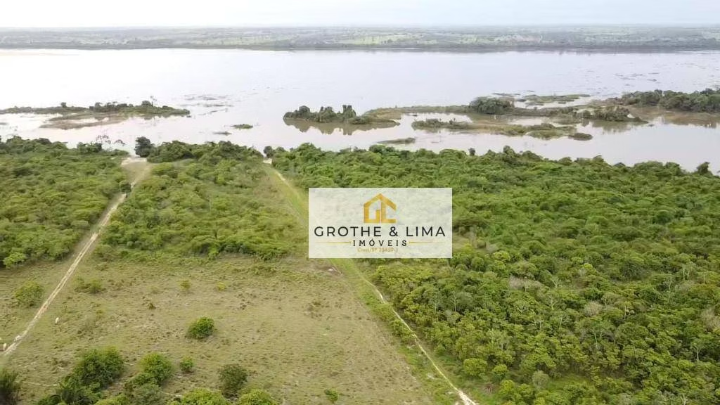
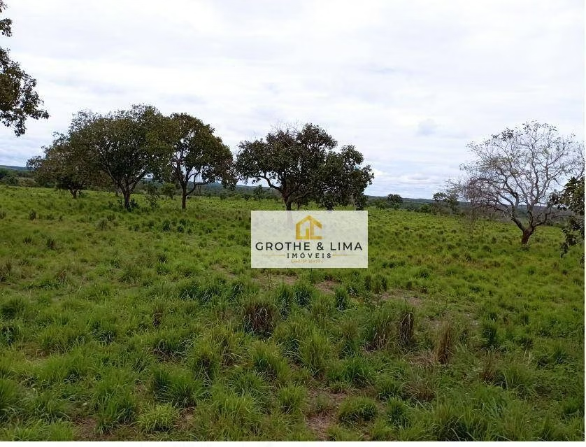
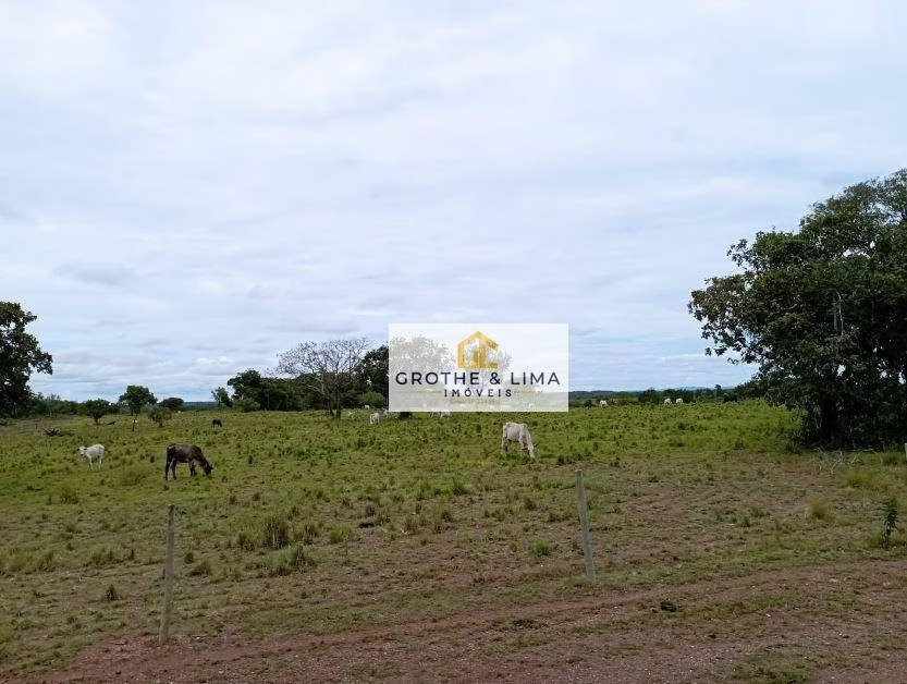
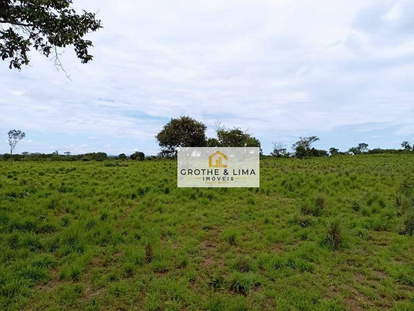
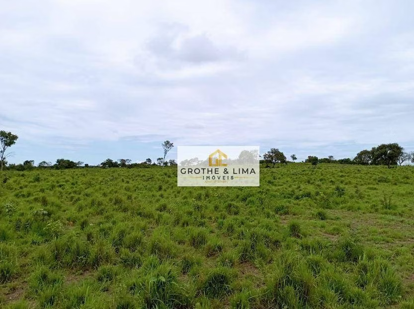
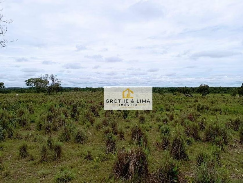
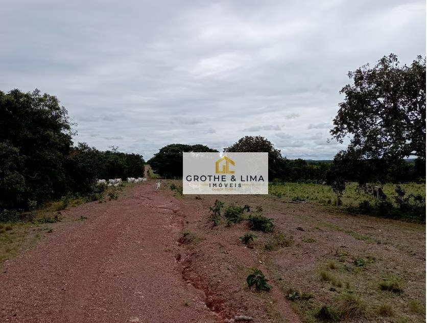
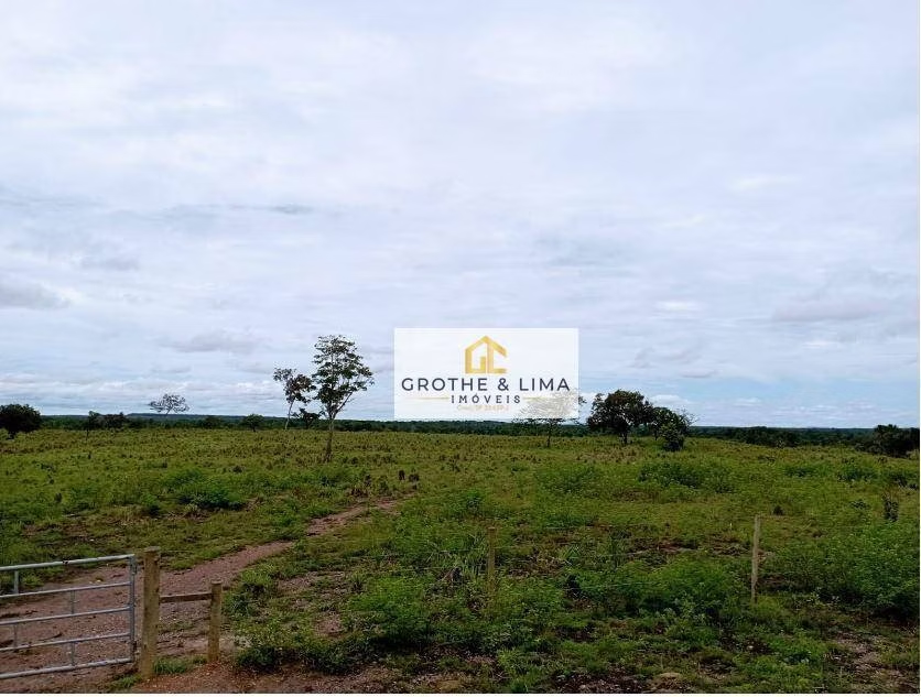
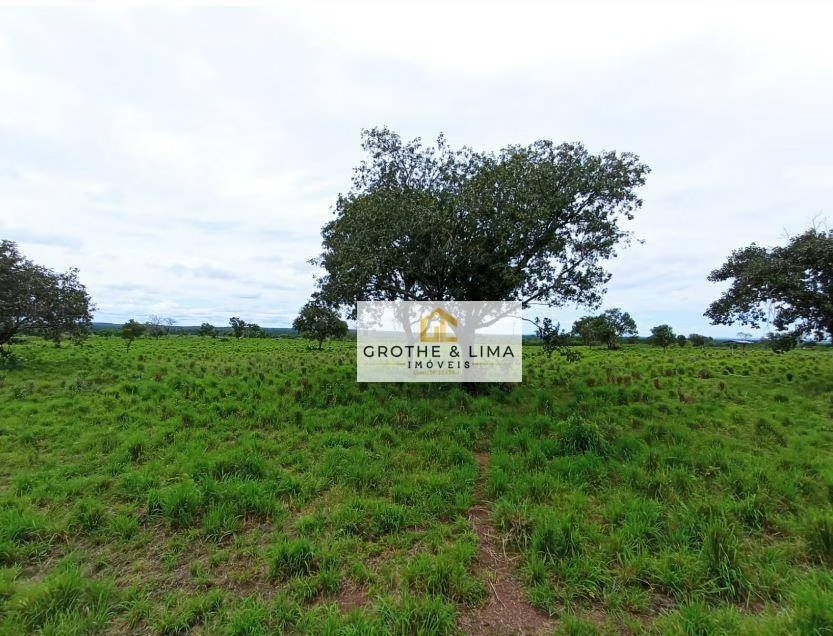
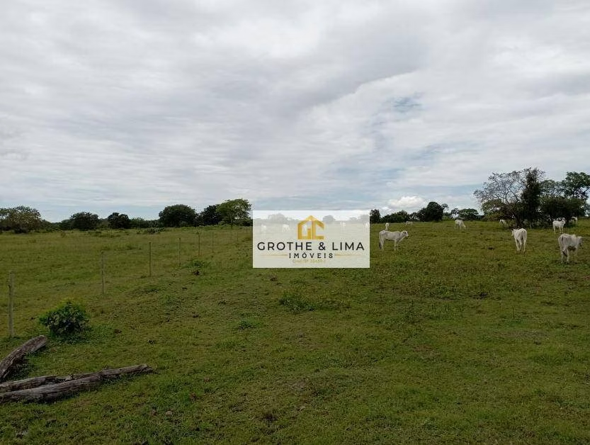
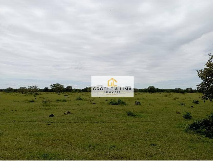
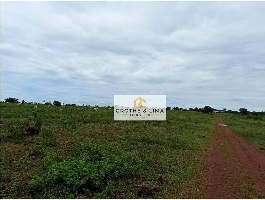
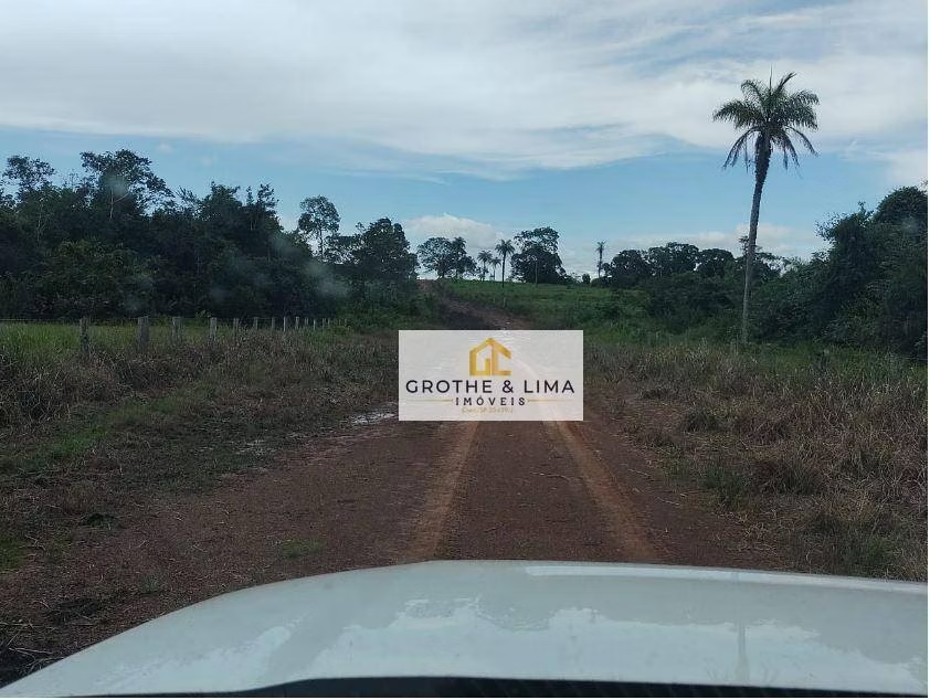
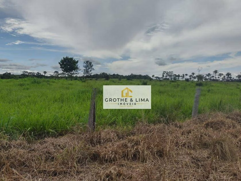
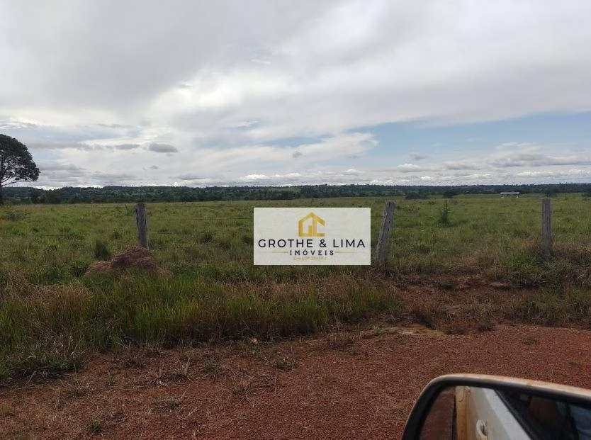
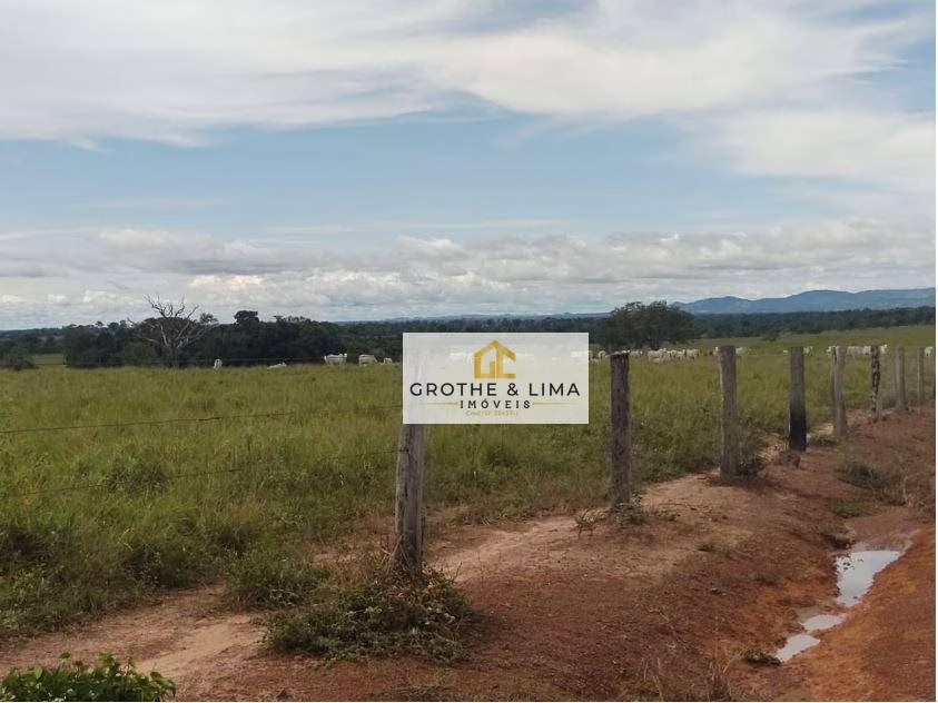
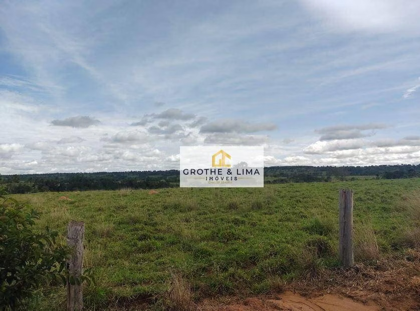
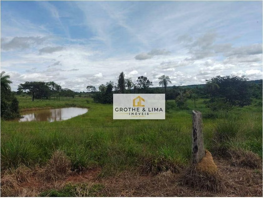
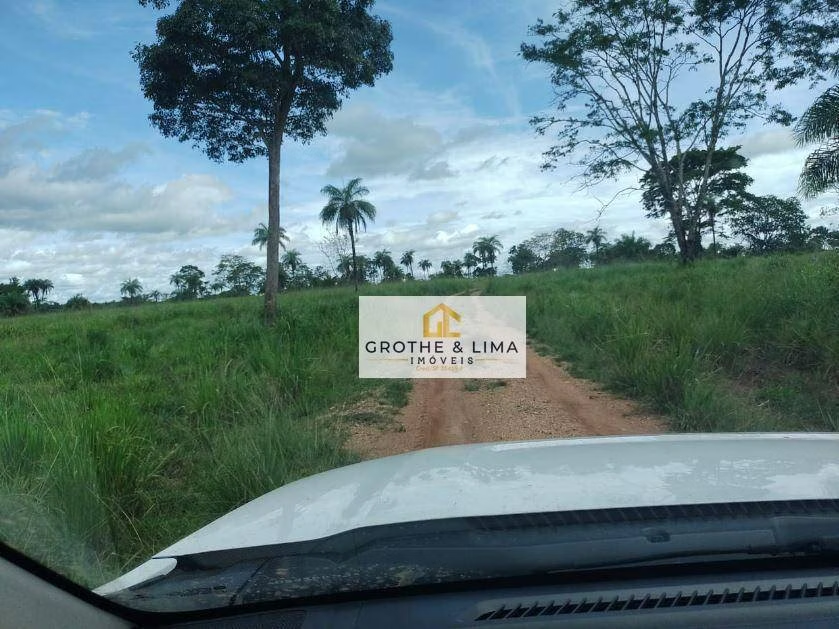
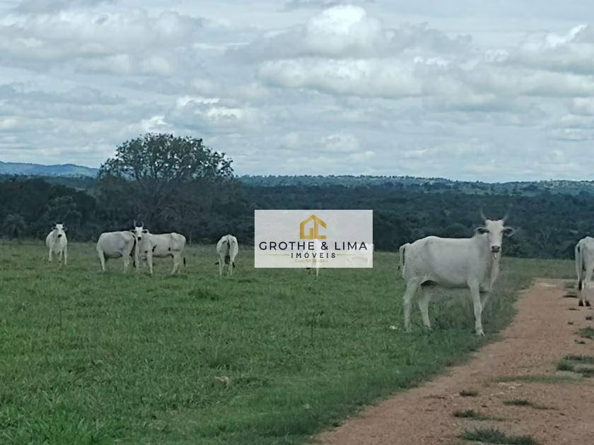
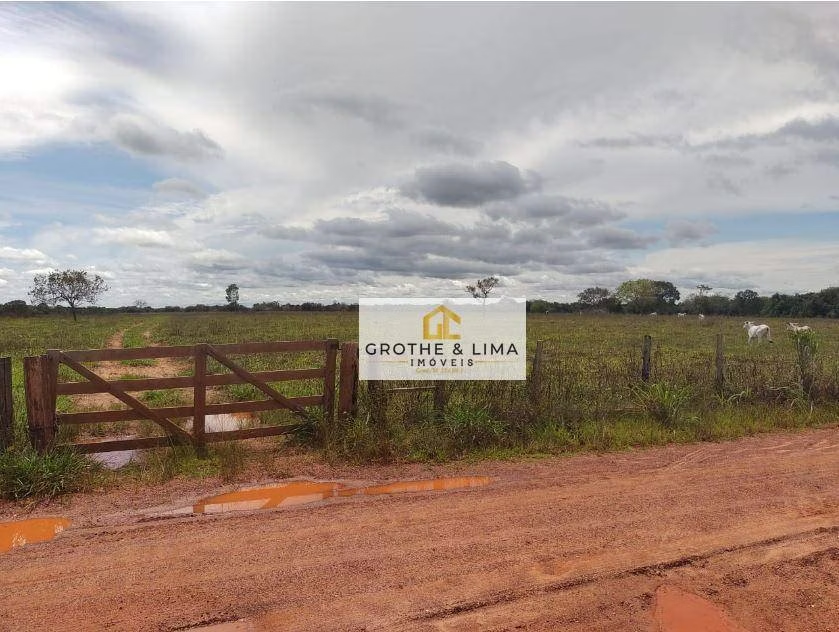
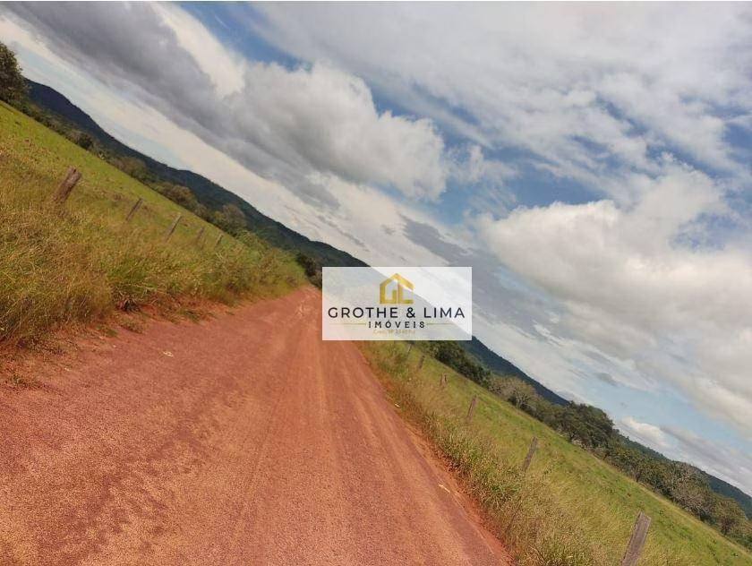
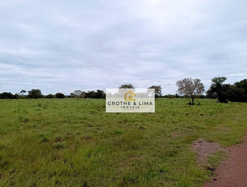
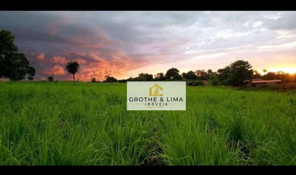
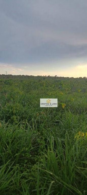
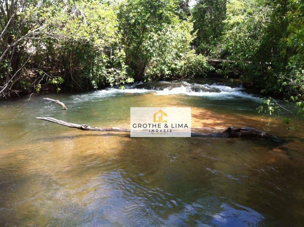
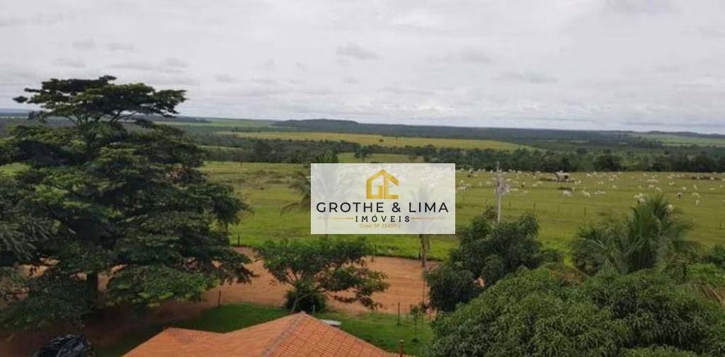
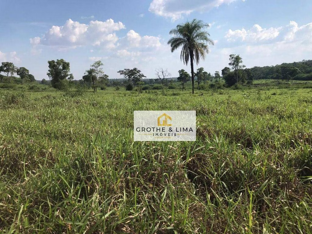
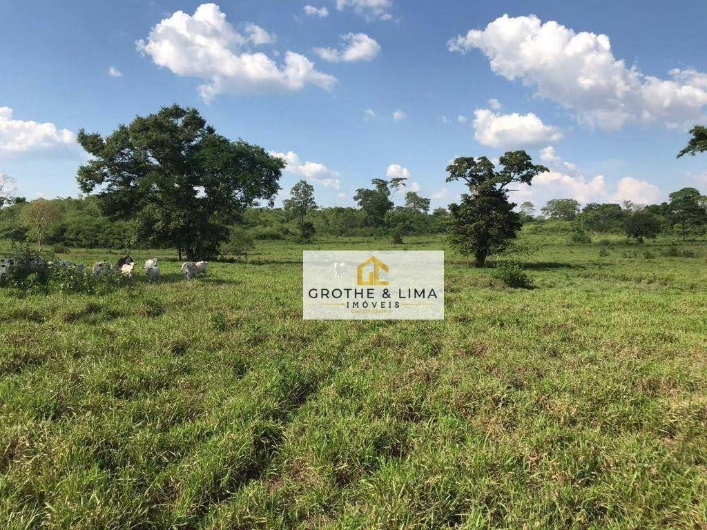
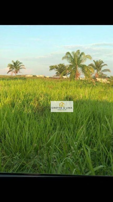
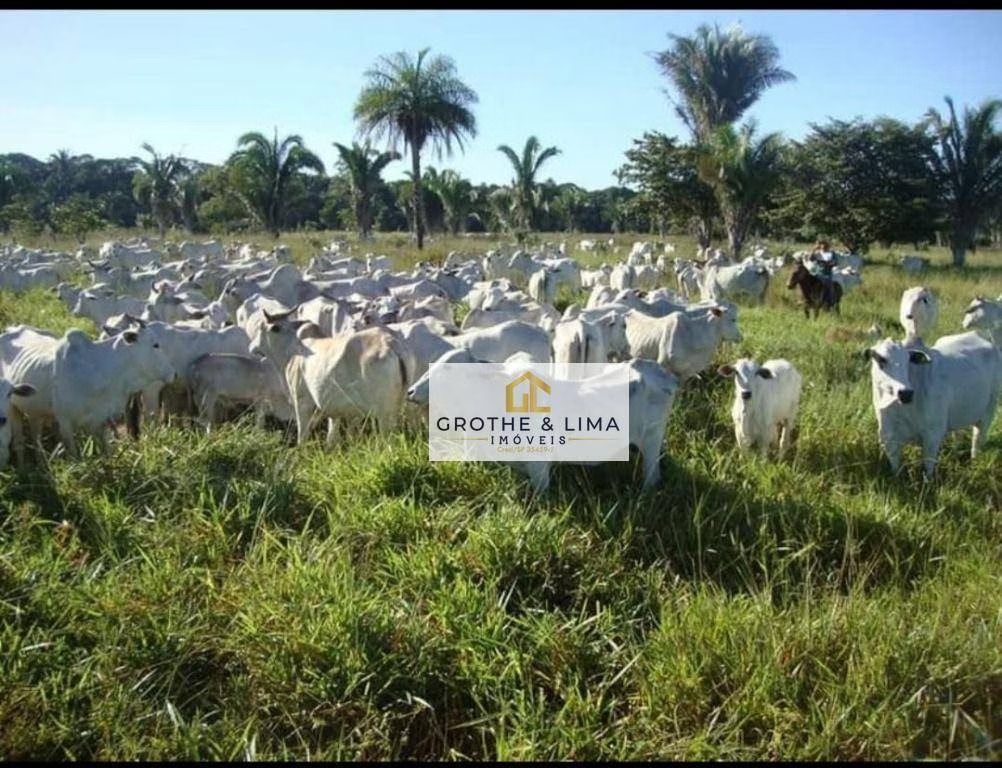
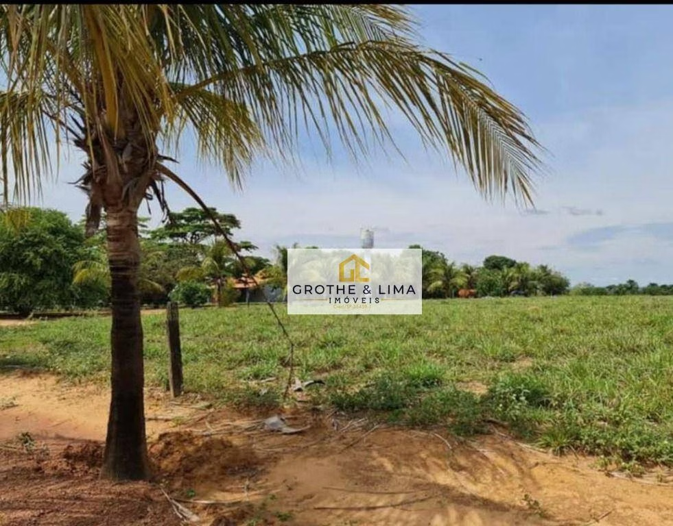
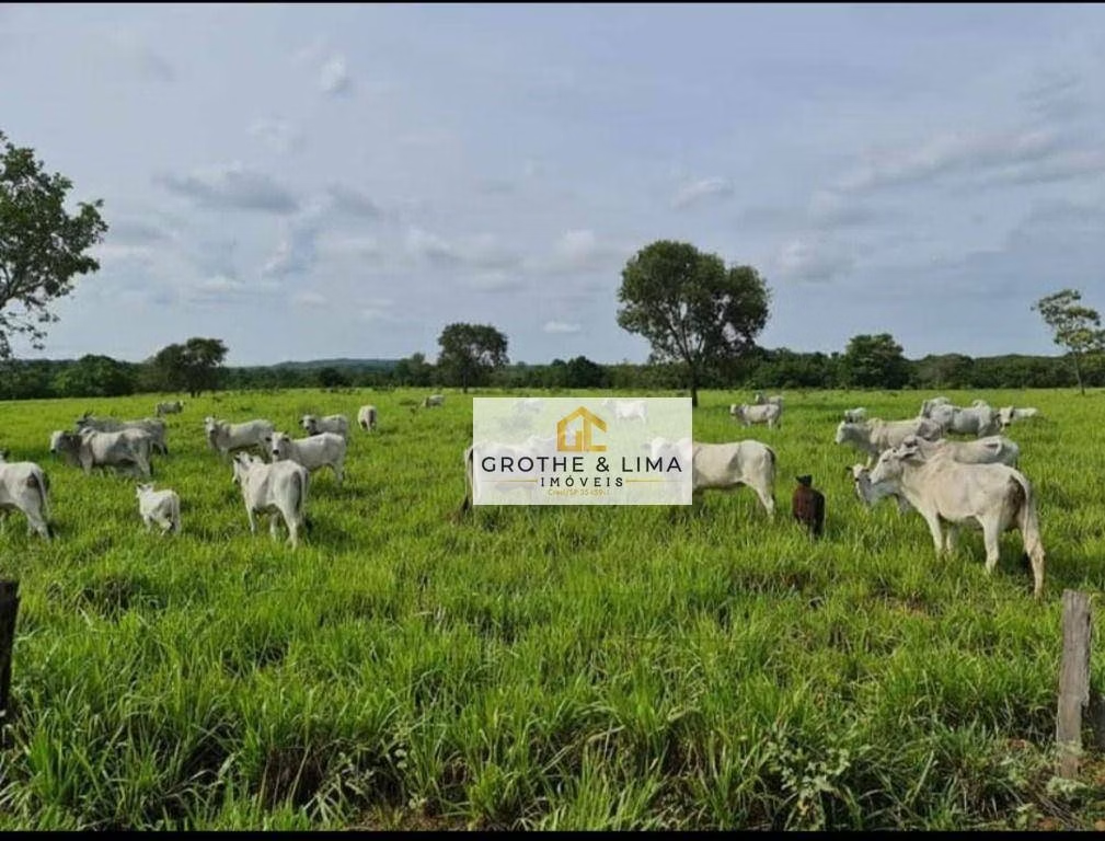
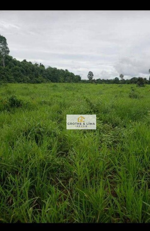
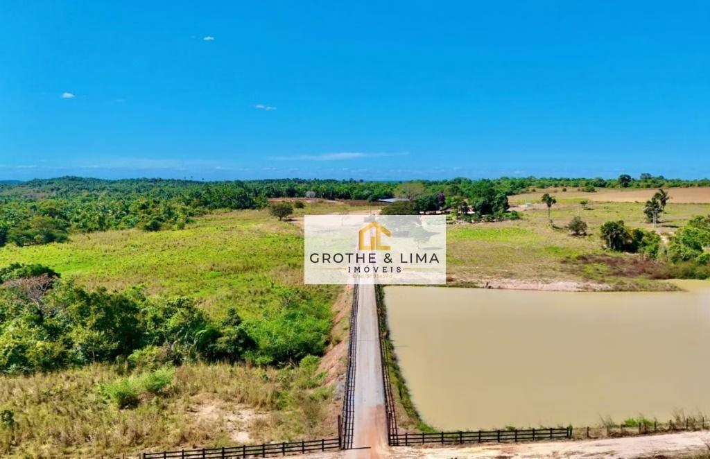
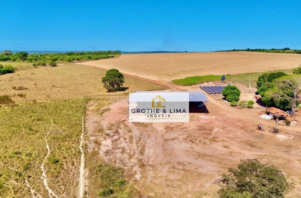
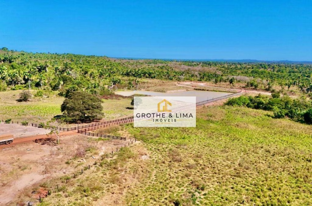
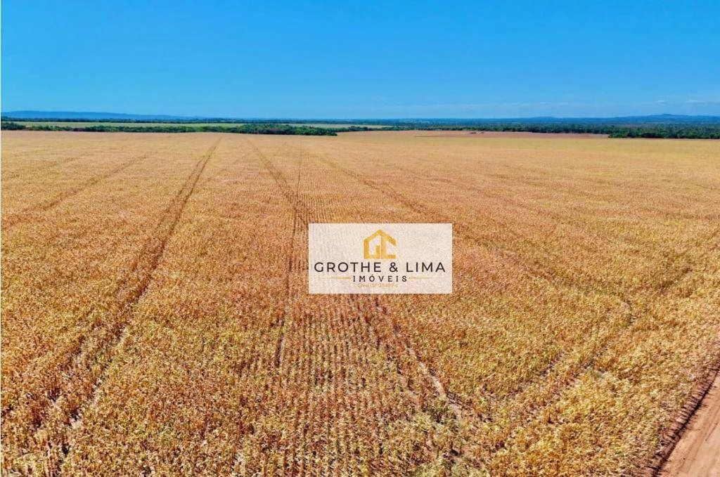
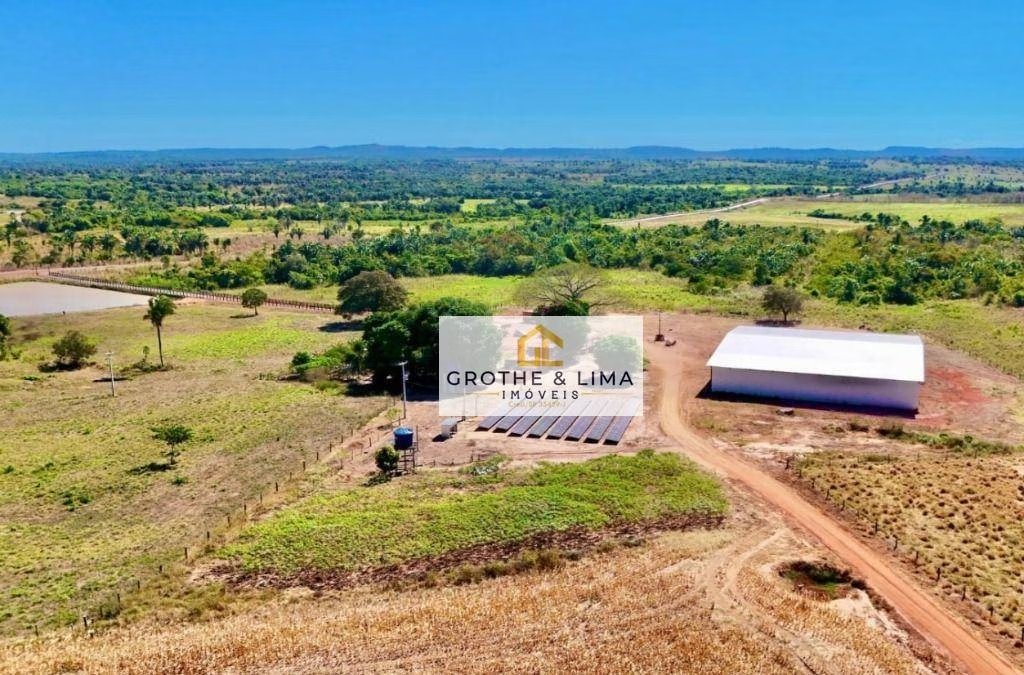
Seeing farm with 340 bushels with 600 hectares in crop, 100% documented to 58 km from Araguaína/TO. Total area 340 bushels 600 hectares has been in farming for 3 years License at hand to open 400 hectares that will reach 1,000 hectares in crop Good clay of 15% to 30% flat area and all surrounded in the smooth wire Very good farm of water with ready -to -irrigation, solar plant with estimated production of 13,000kwh, 02 large dams 100% documented farm Headquarters house with water, artesian well, single -phase and three -phase energy, small shed and employee home Farm is located in the Vale do Araguaía region it rains from 1,800 to 2,000 crop and safrinha Farm with excellent logistics 58 km from Araguaína 2nd largest city in the state state 95 km from the dry port 55 km from limestone Selling value: R $ 35,000,000.00 Term to be agreed. Advertisement subject to change without prior notice of its owner regarding the price and availability, on the date of consultation by the interested party or interested