1 / 19
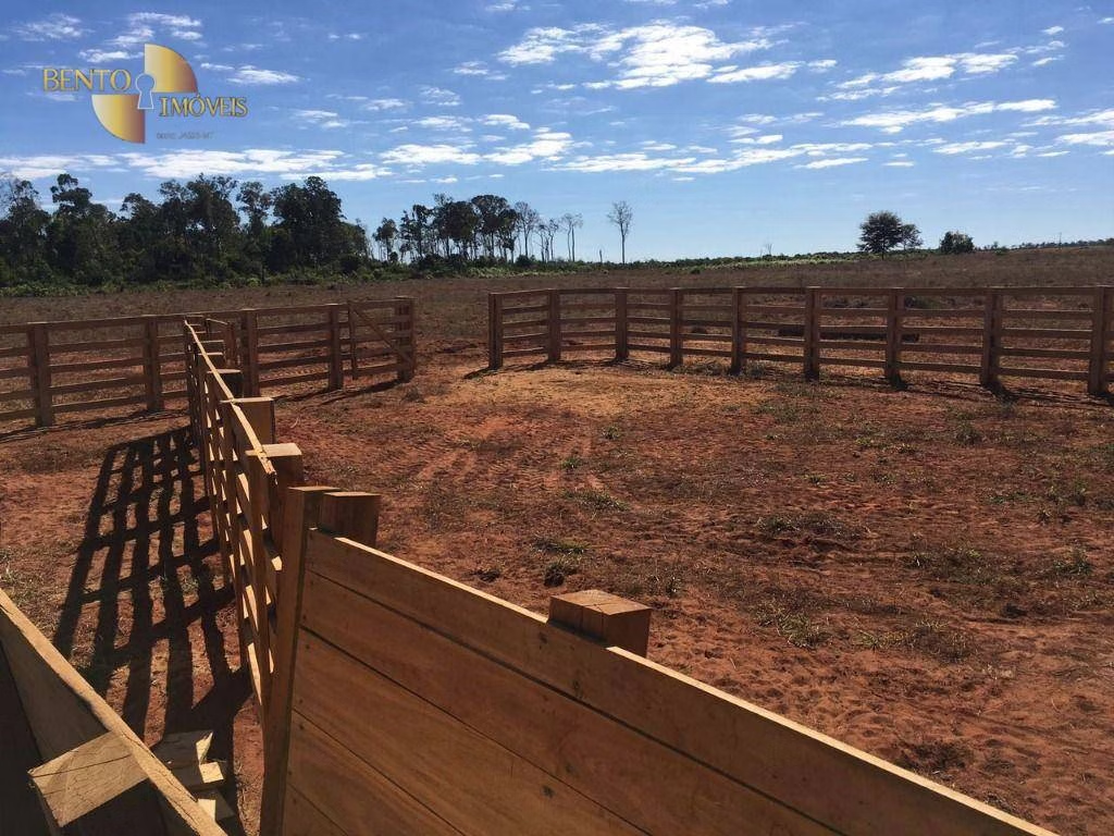
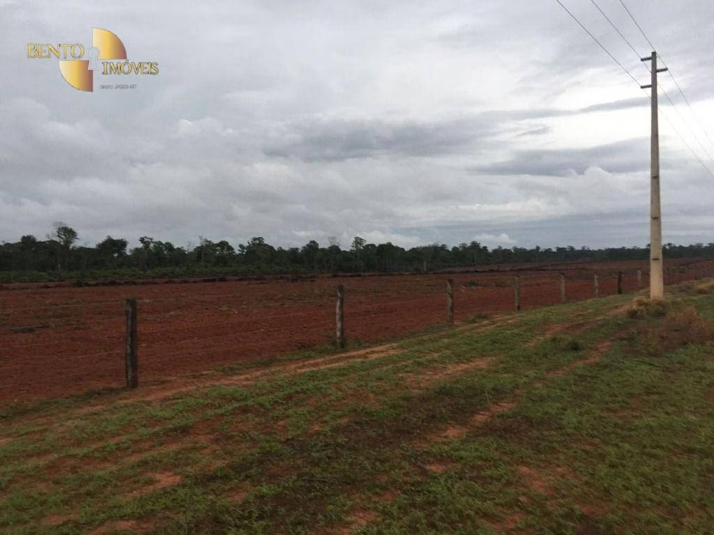
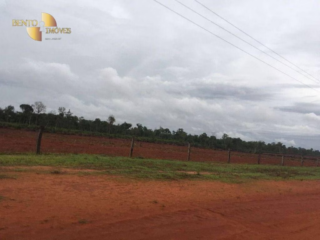
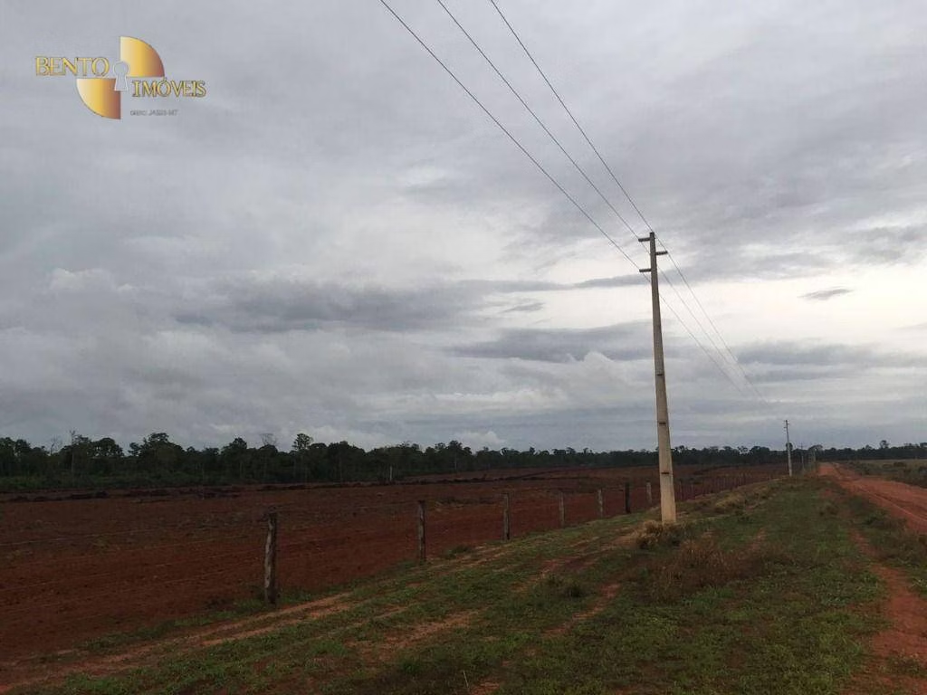
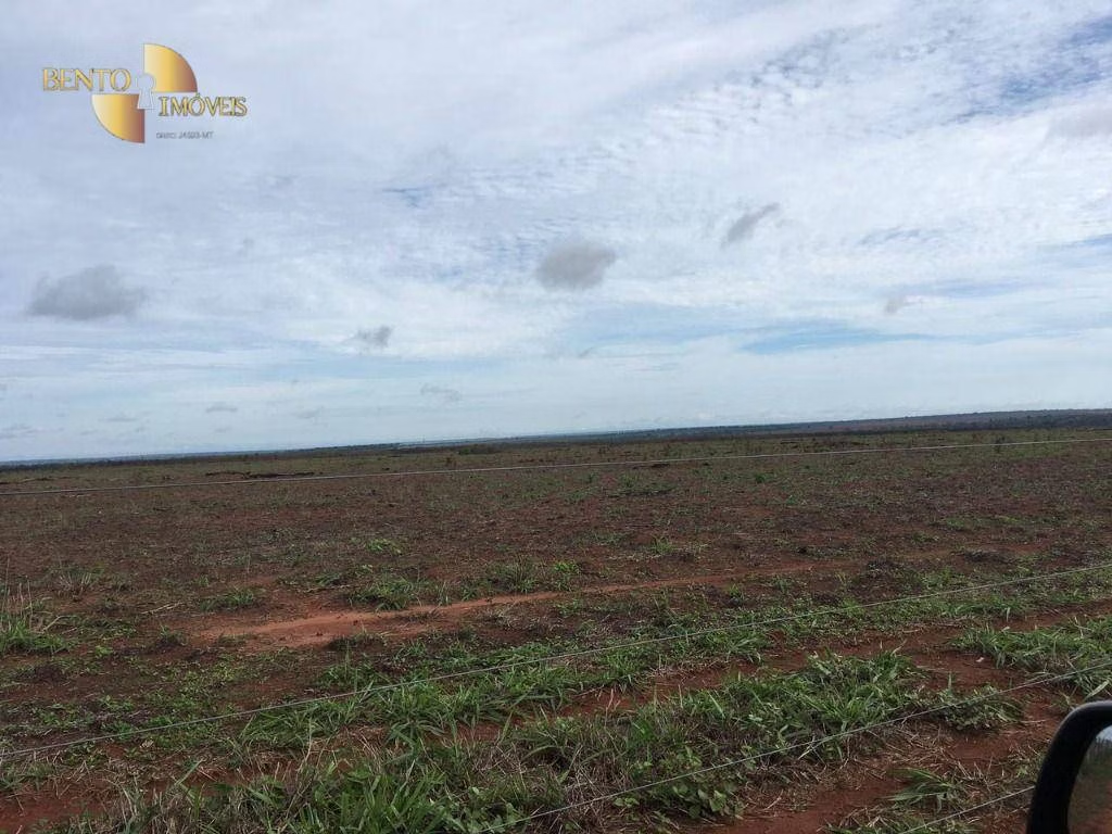
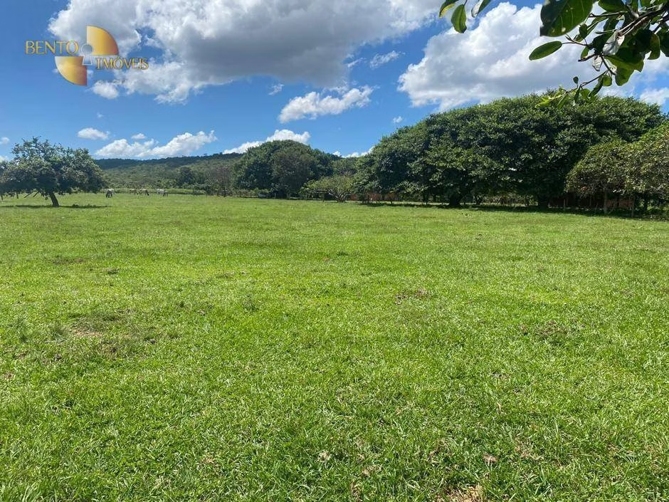
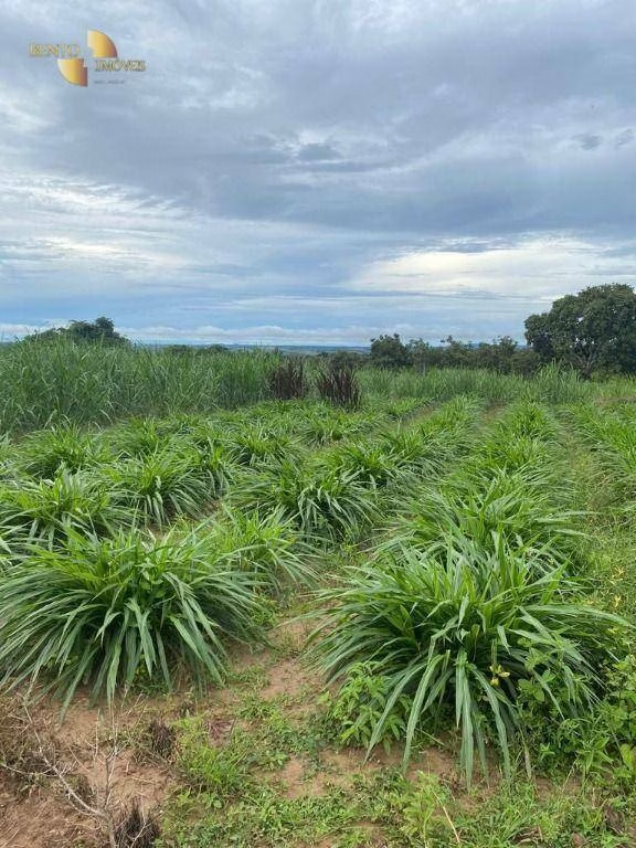
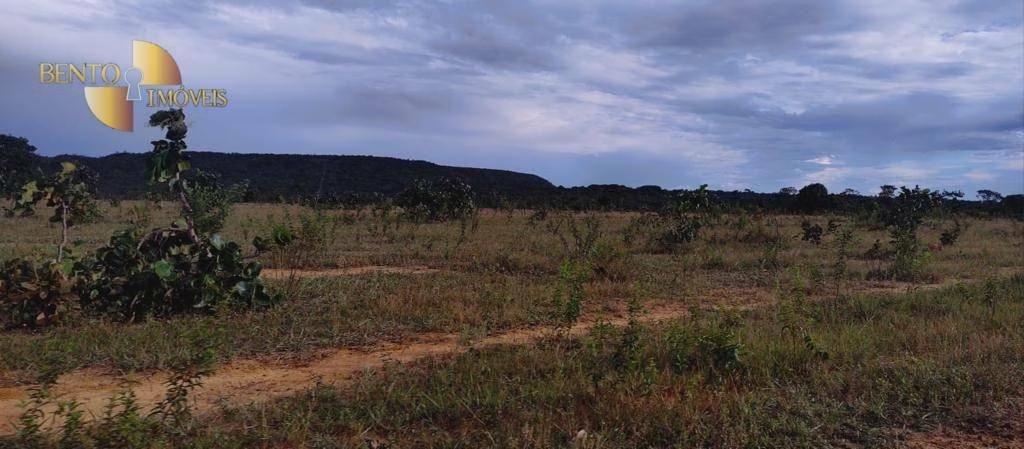
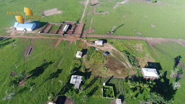
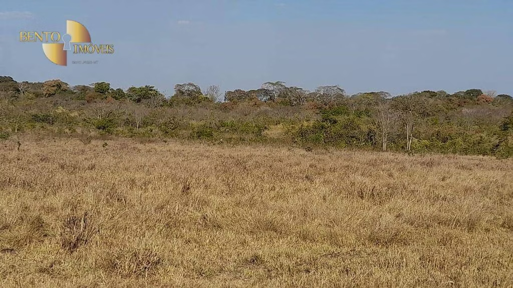
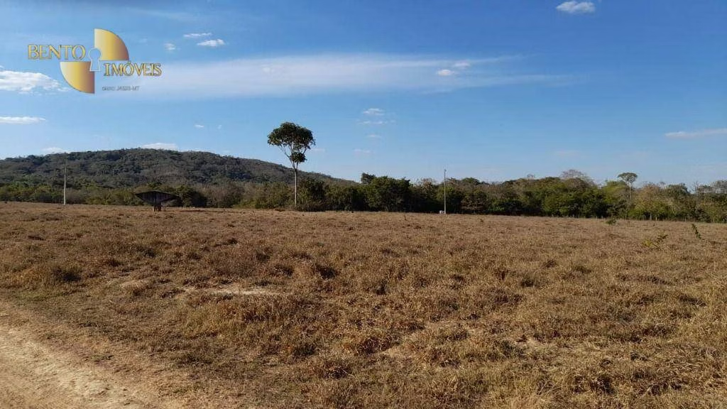
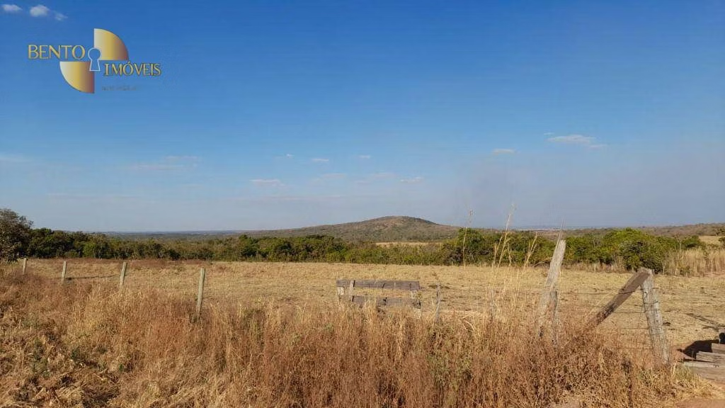
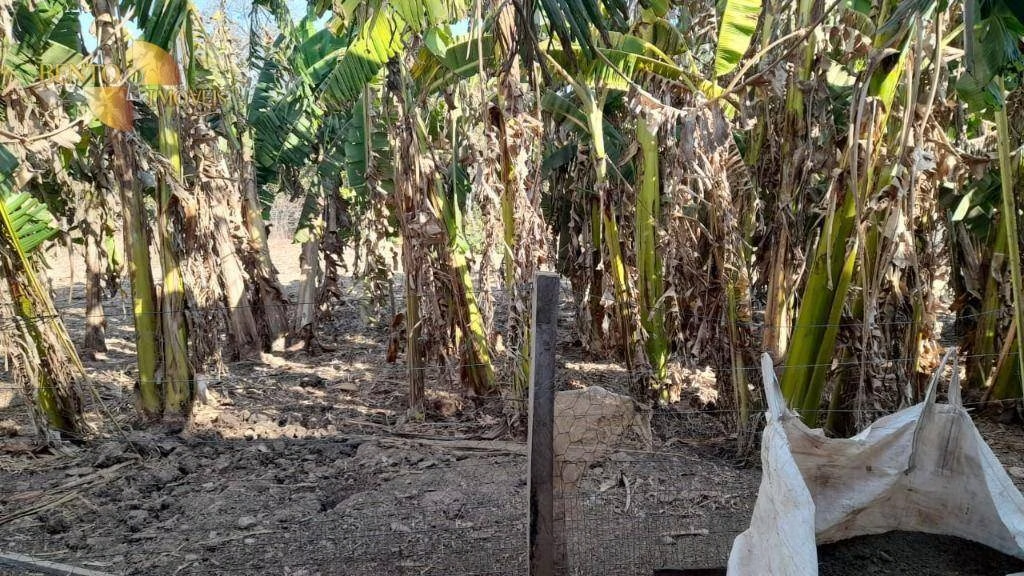
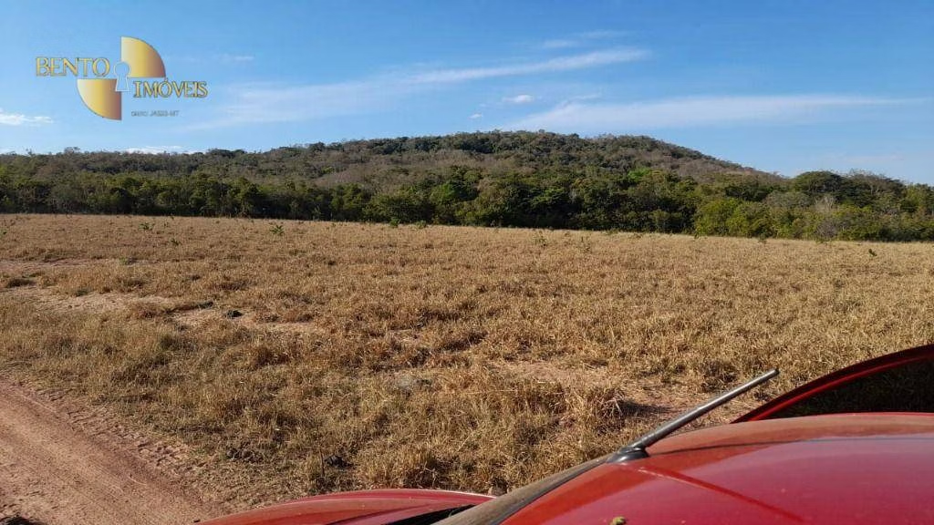
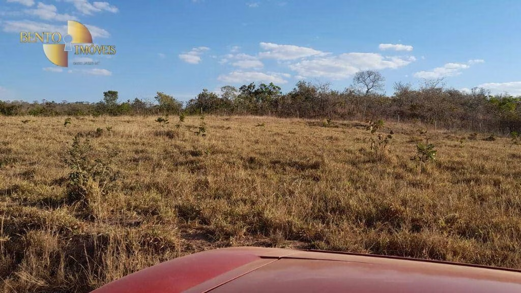
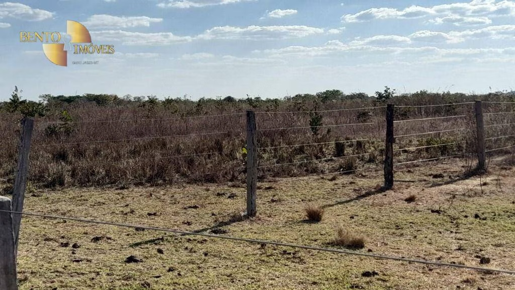
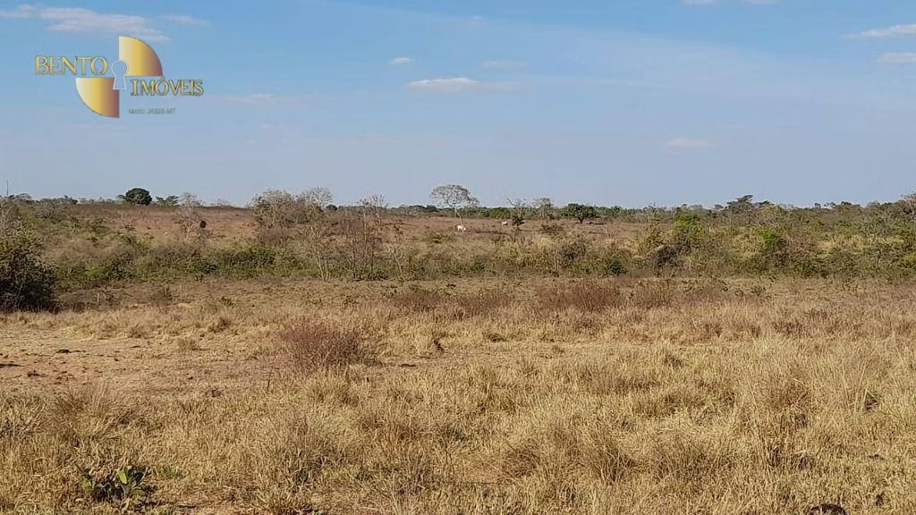
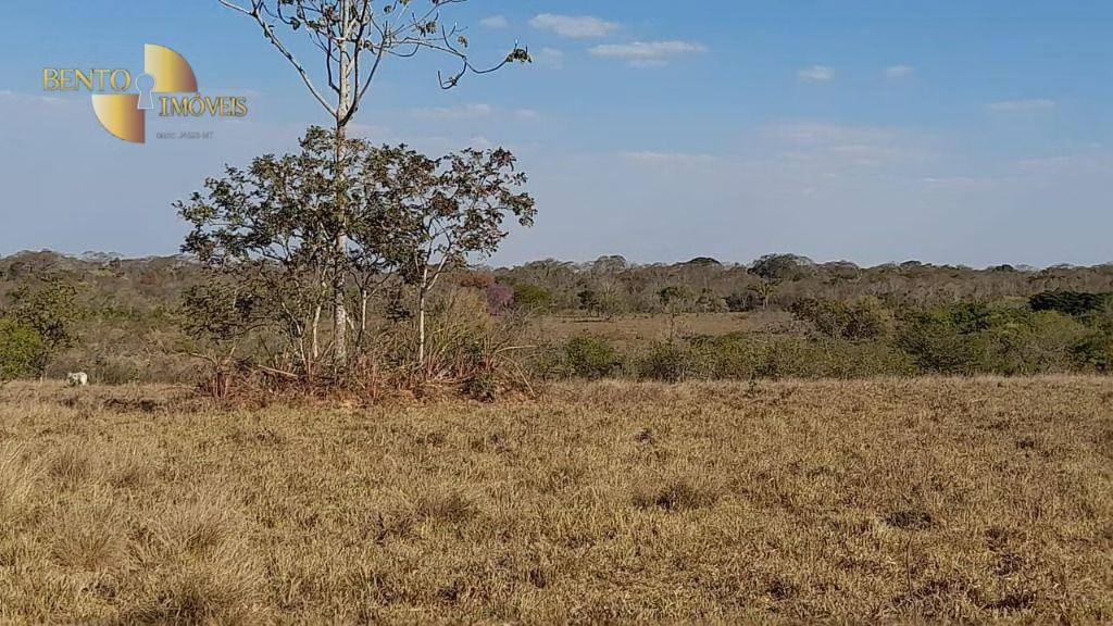
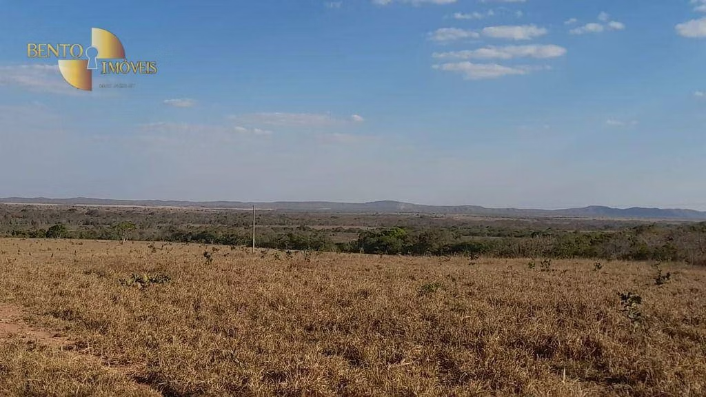
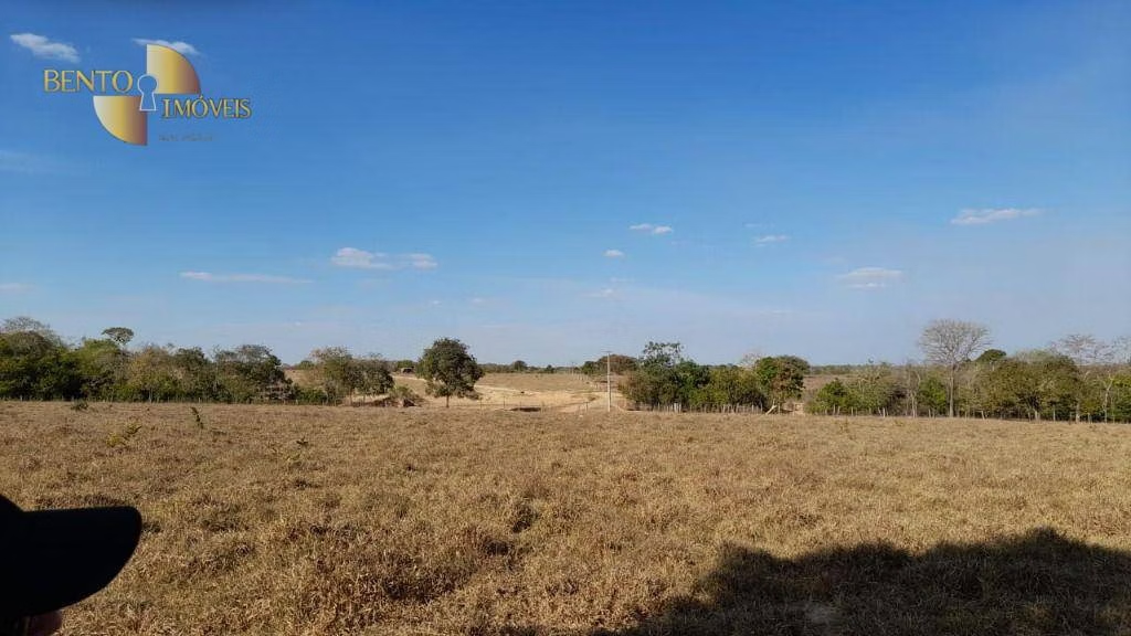
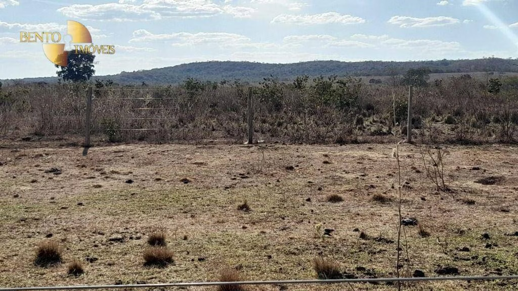
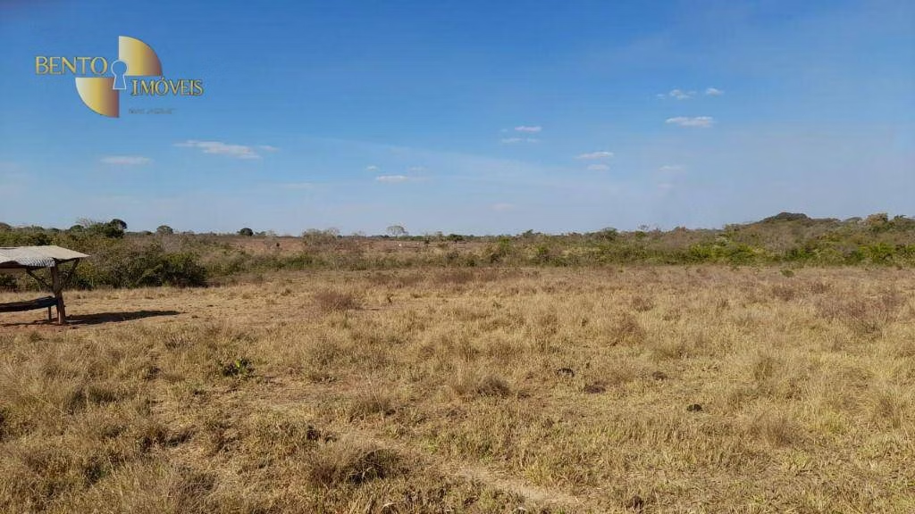
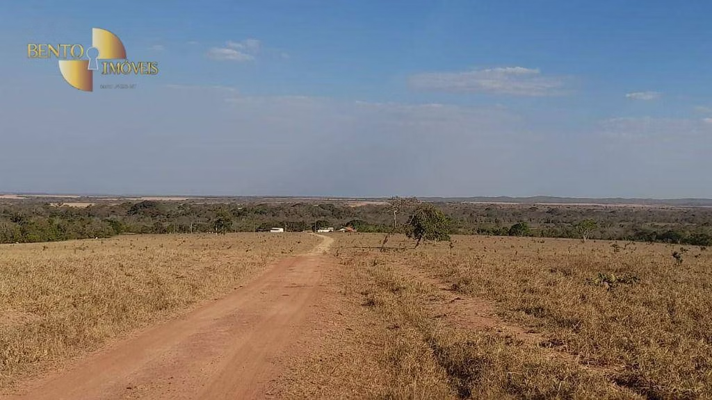
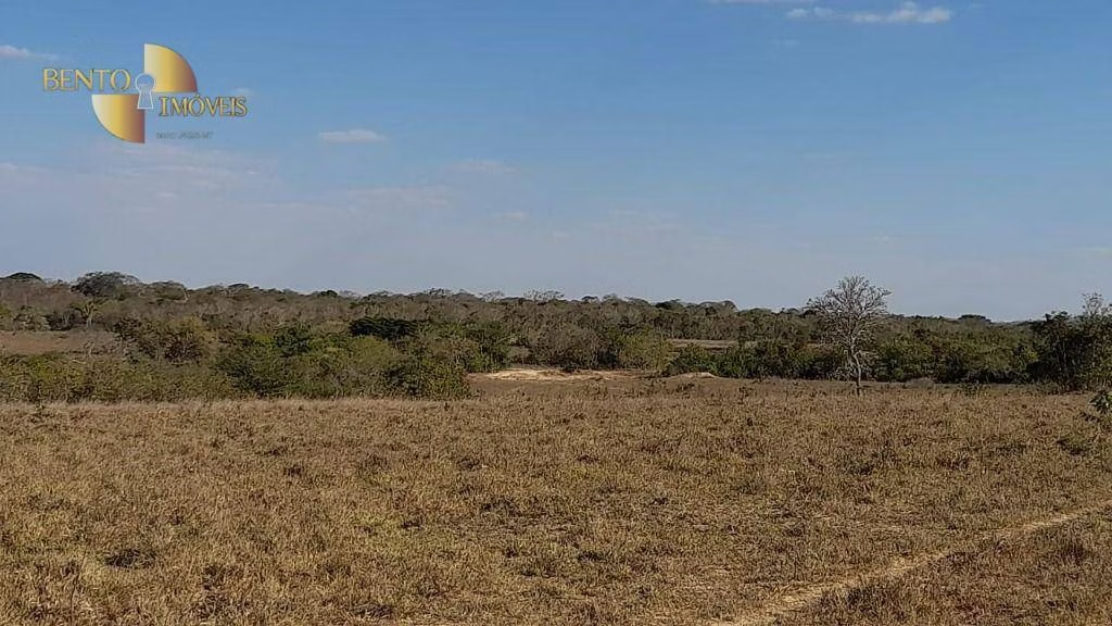
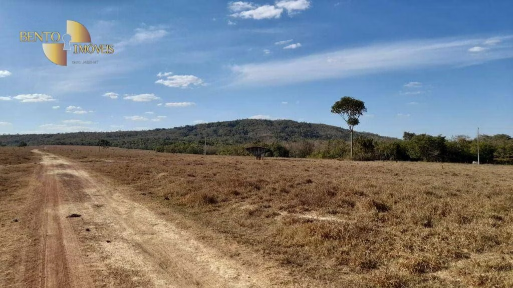
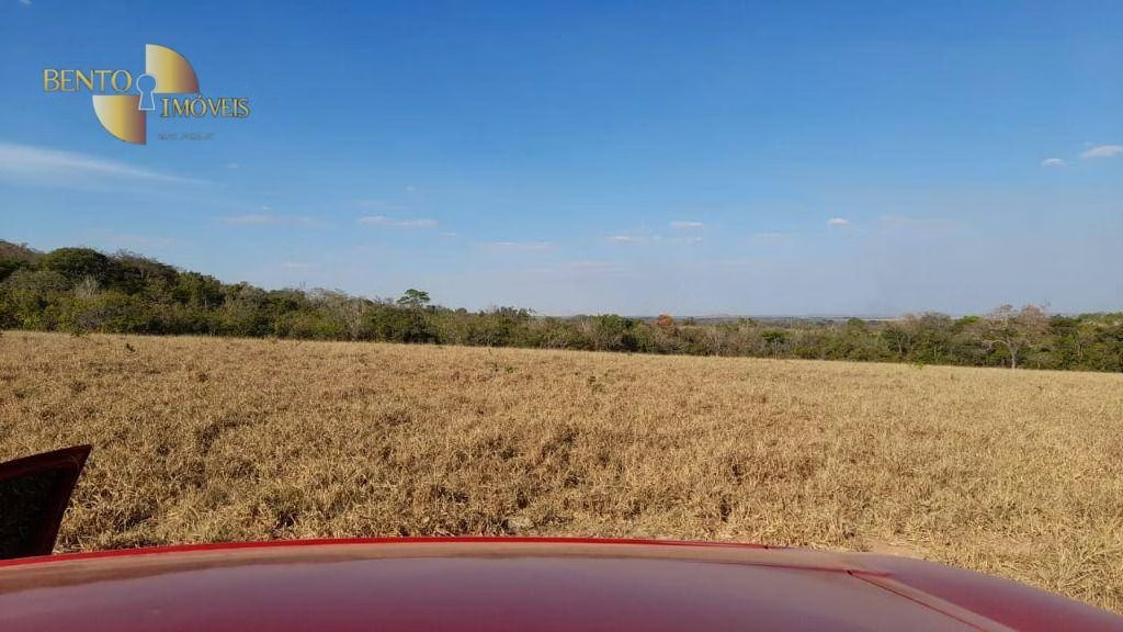
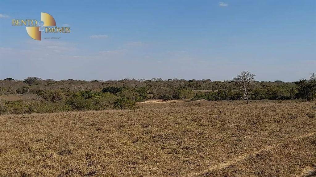
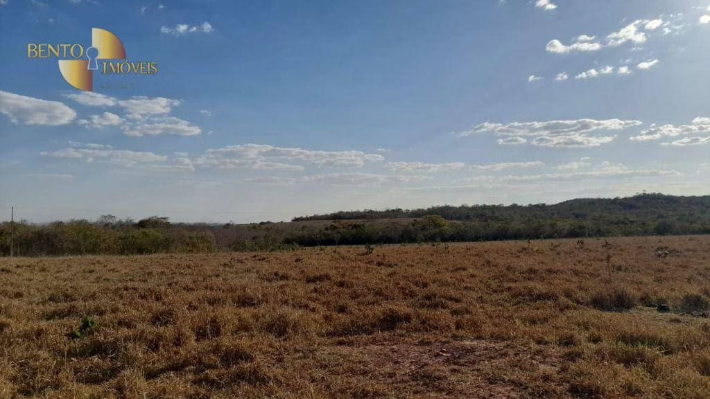
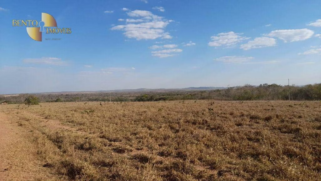
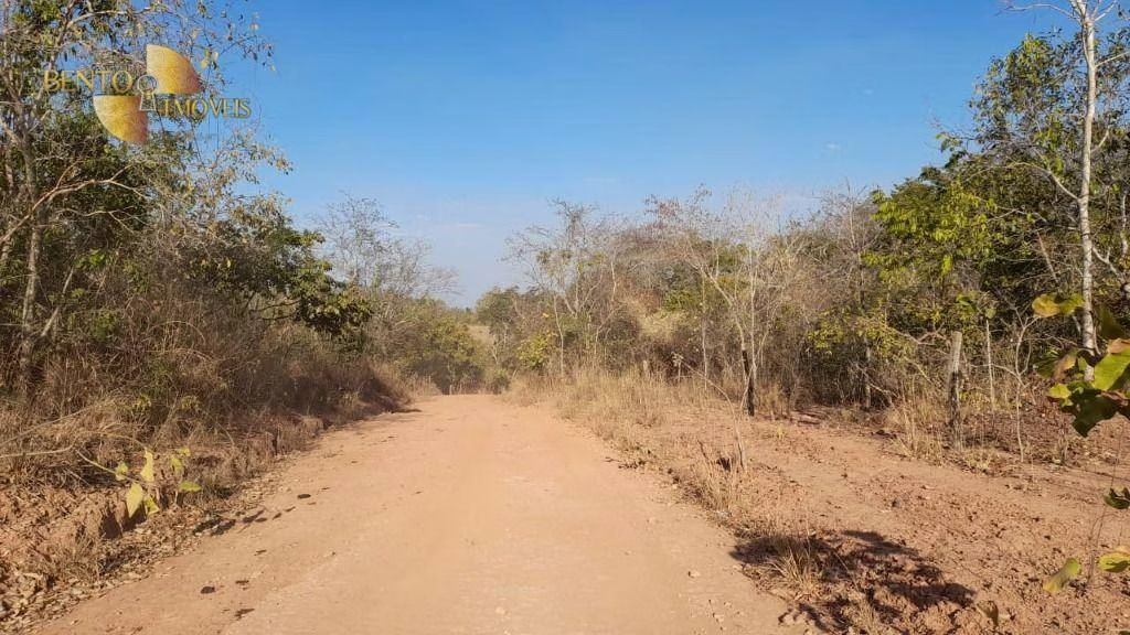
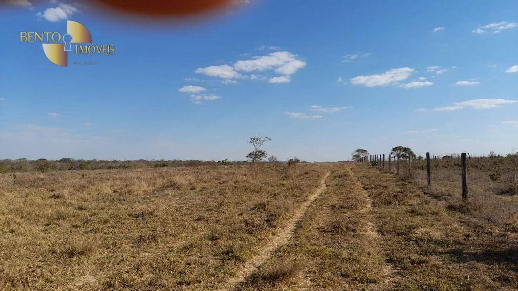
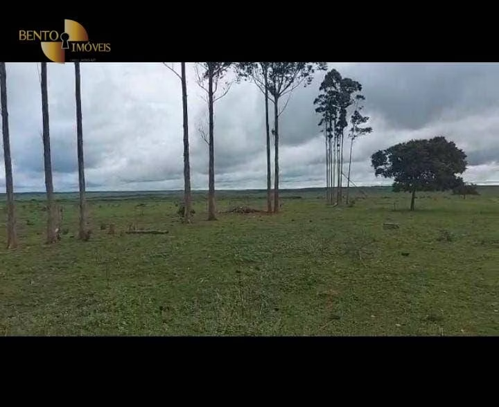
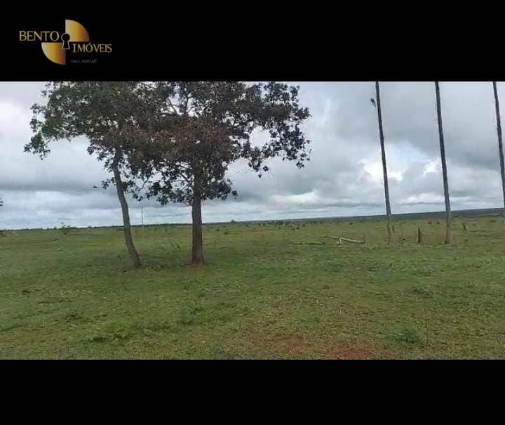
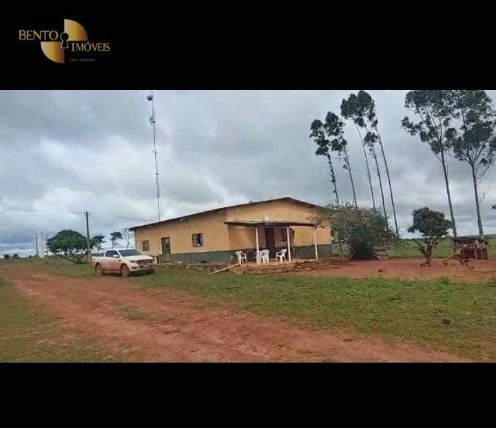
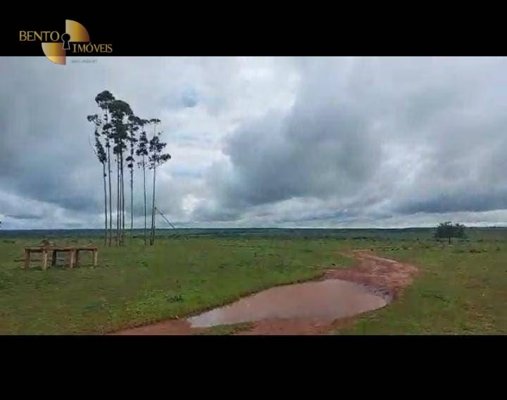
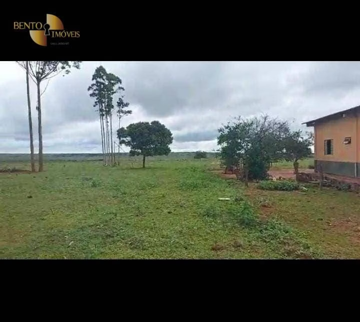
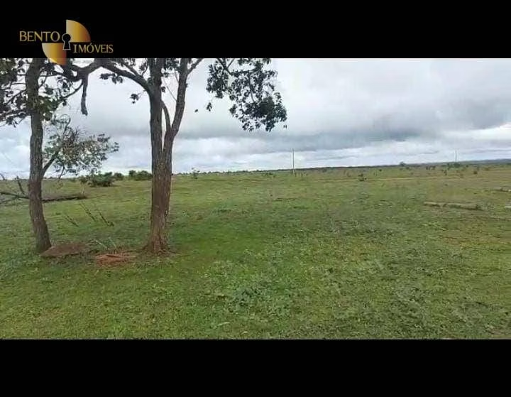
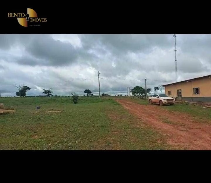
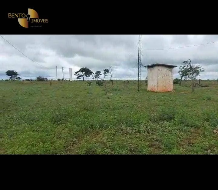
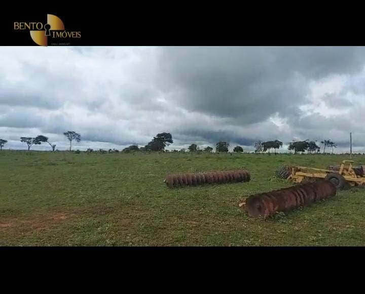
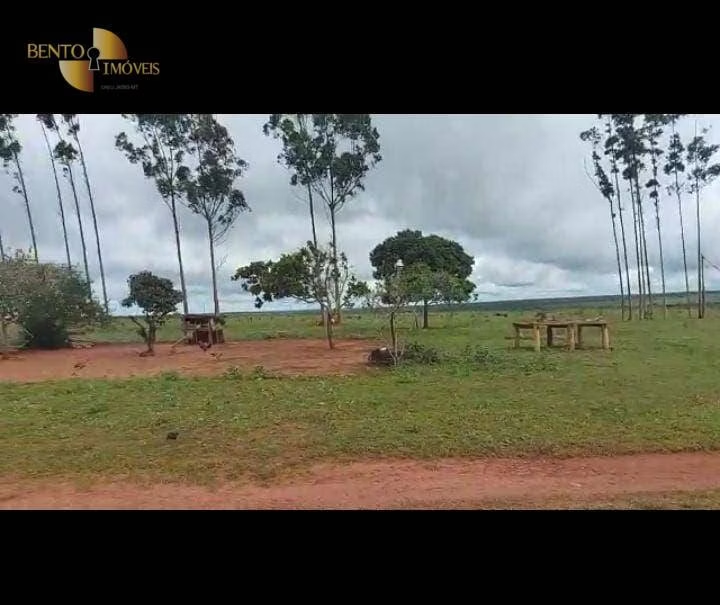
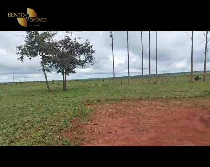
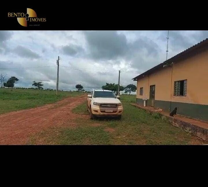
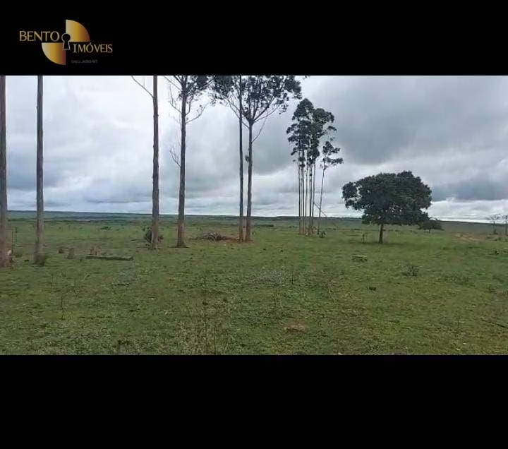
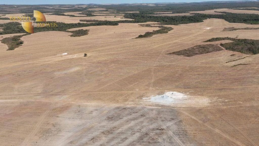
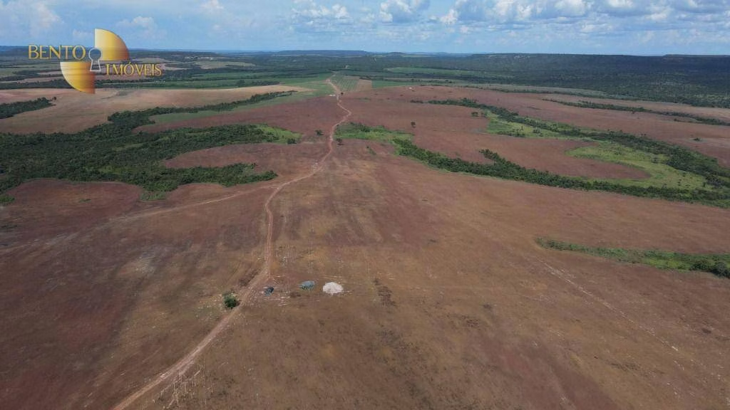
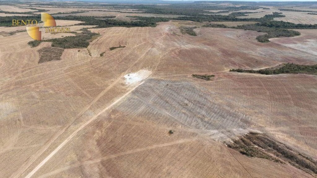
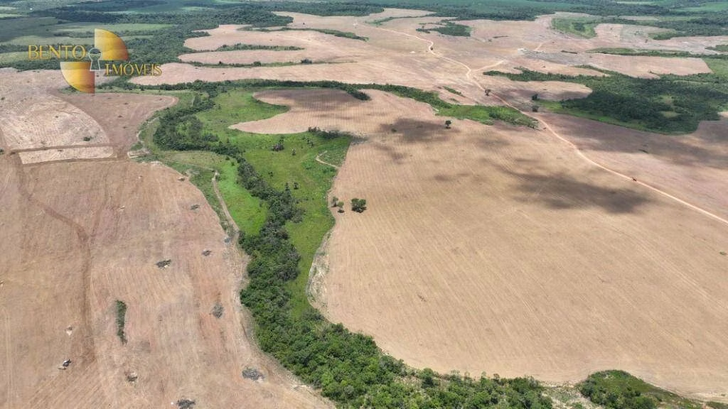
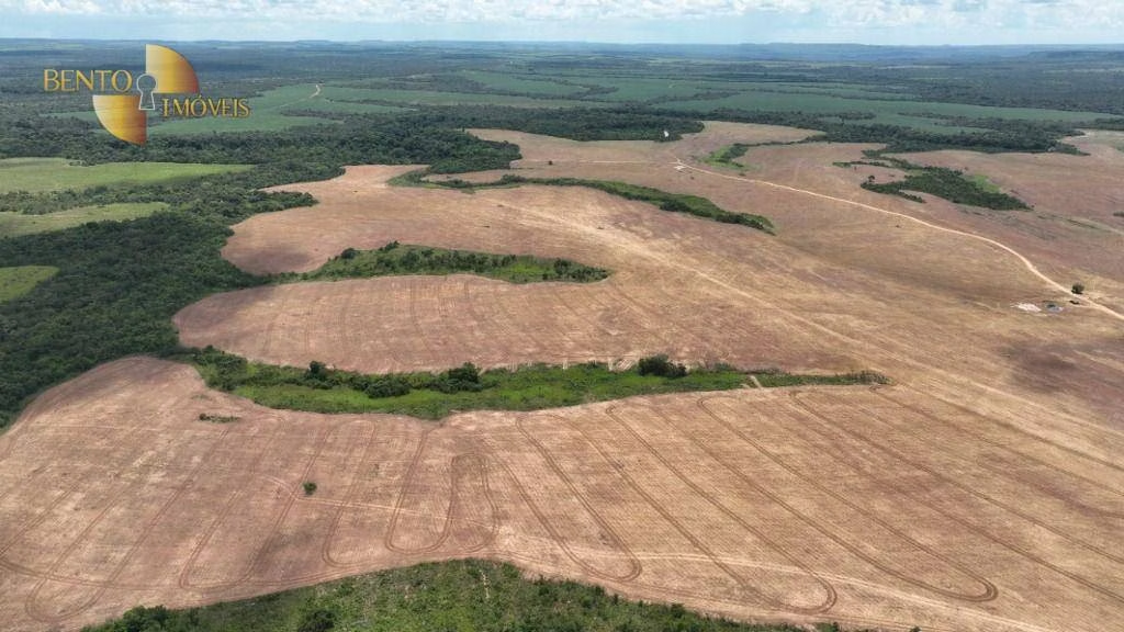
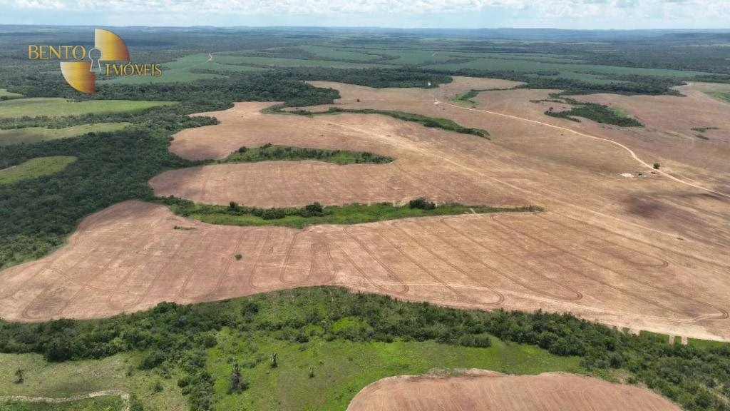
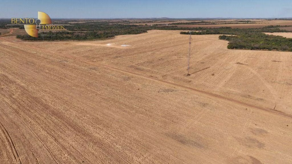
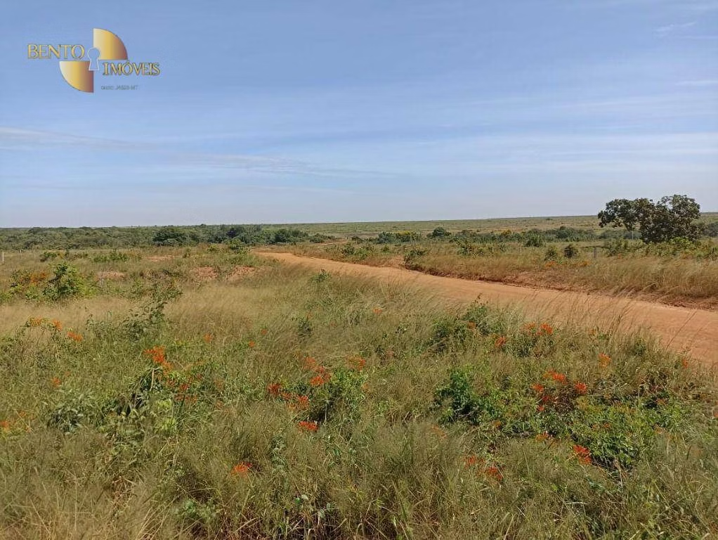
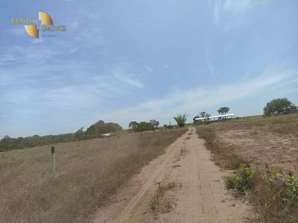
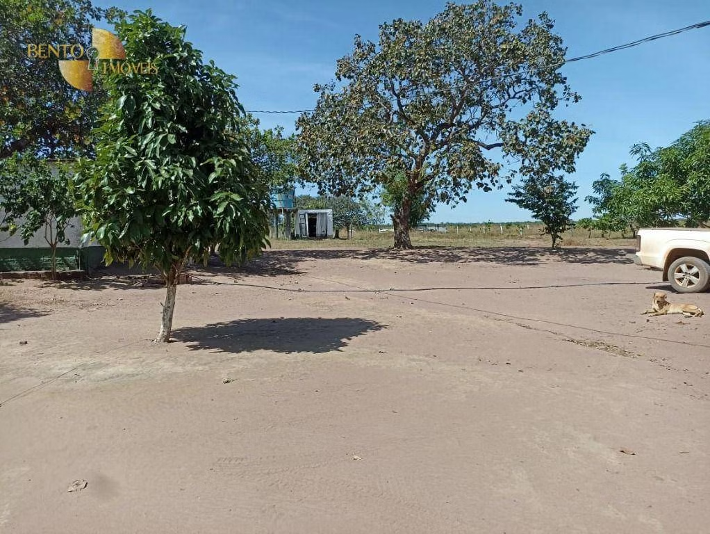
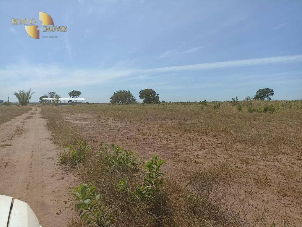
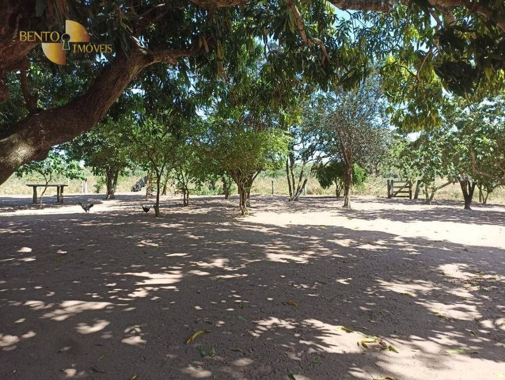
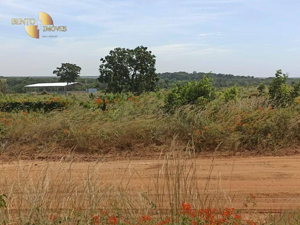
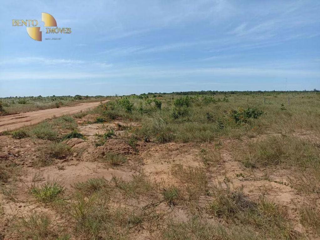
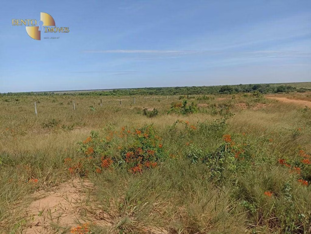
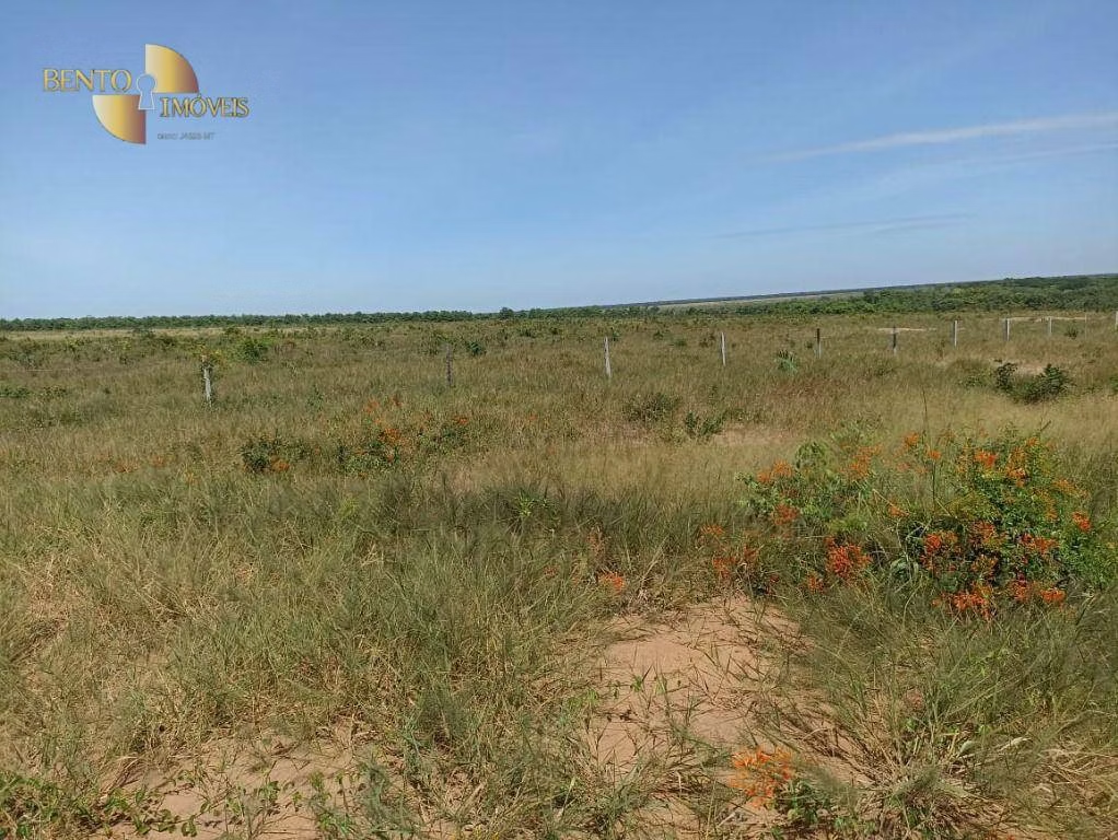
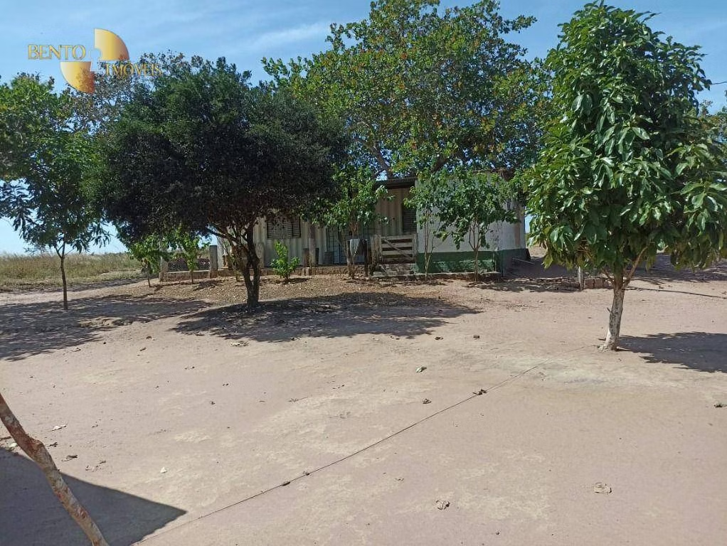
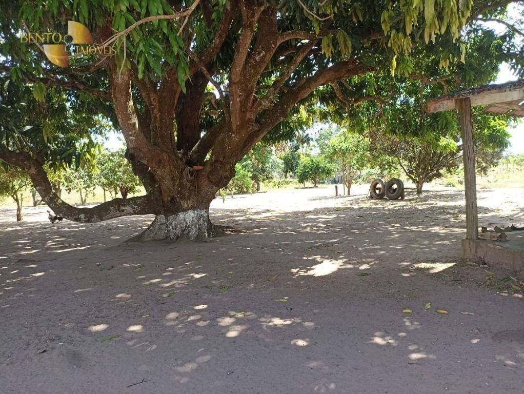
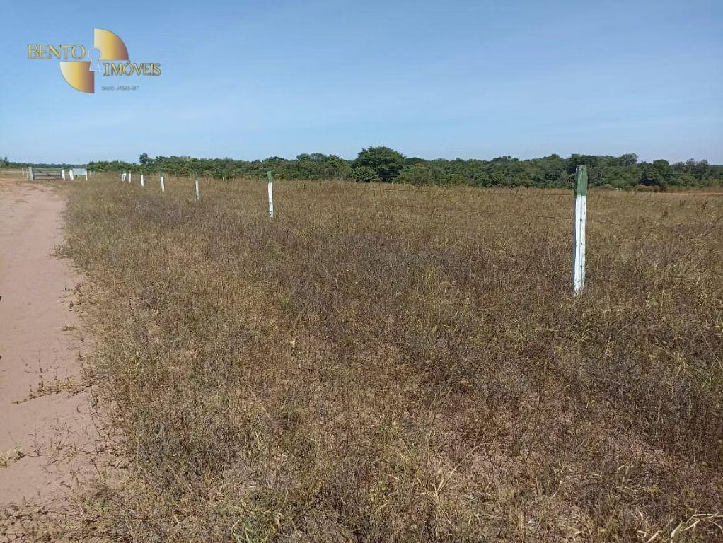
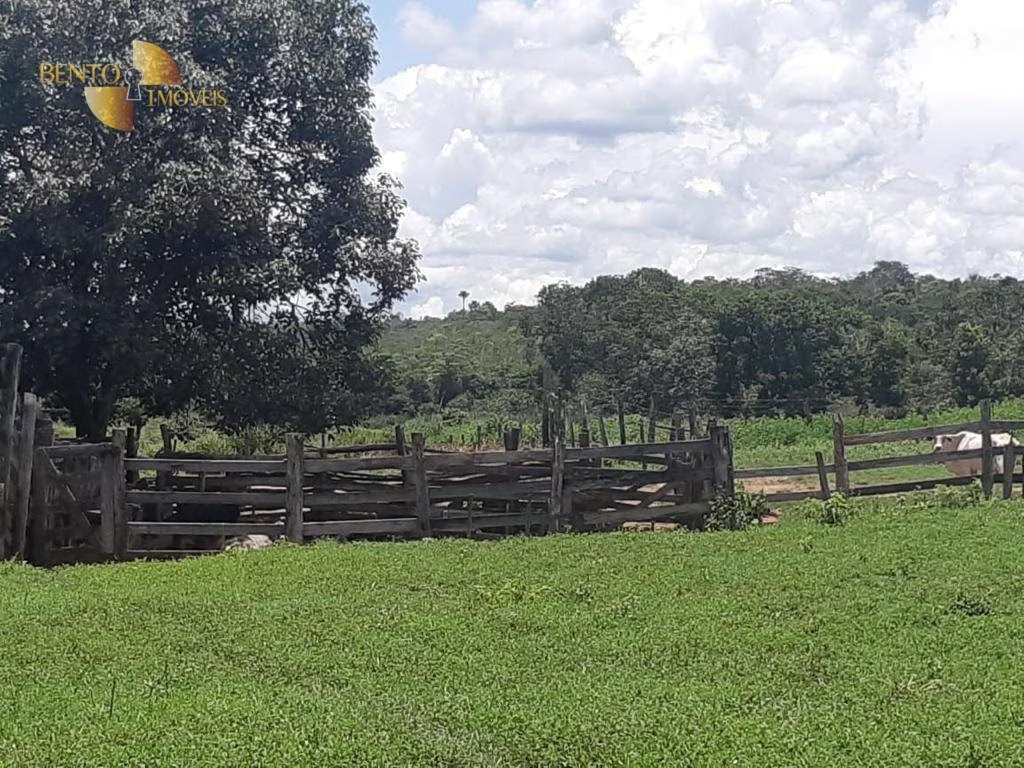
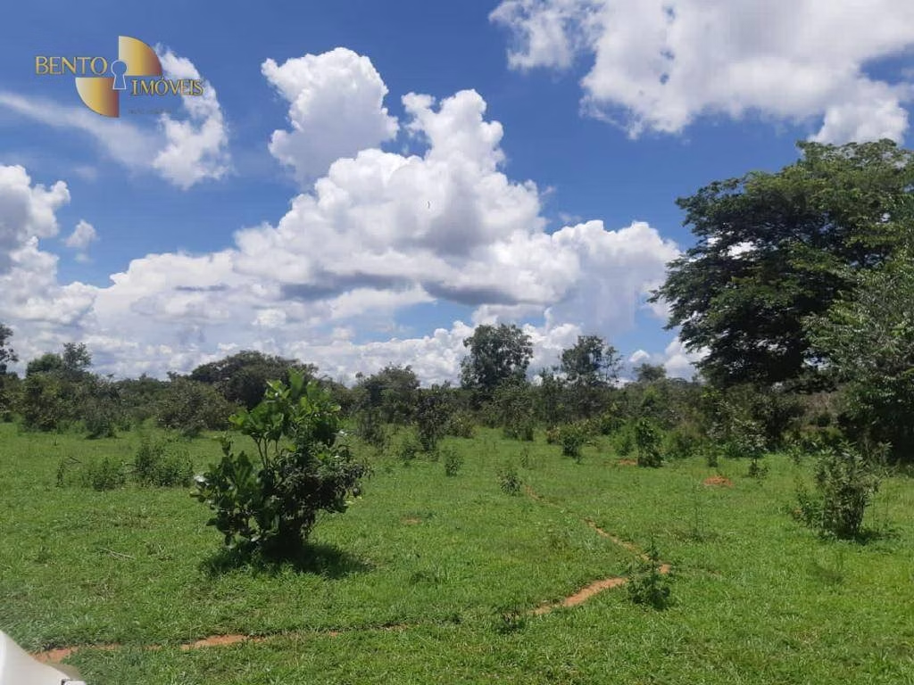
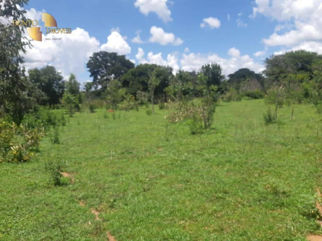
Farm in Paranatinga, MT, Brazil
US$ 12.080.077
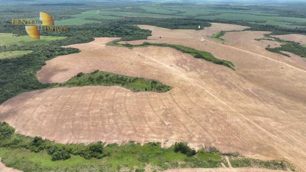
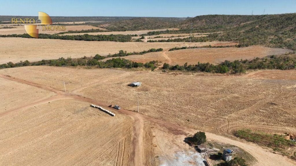
2.965,26 acres
US$ 4 mil/acres
*Selling price converted to USD on today's date. Not reflecting the original trading price of R$ 67.208.400
Contact
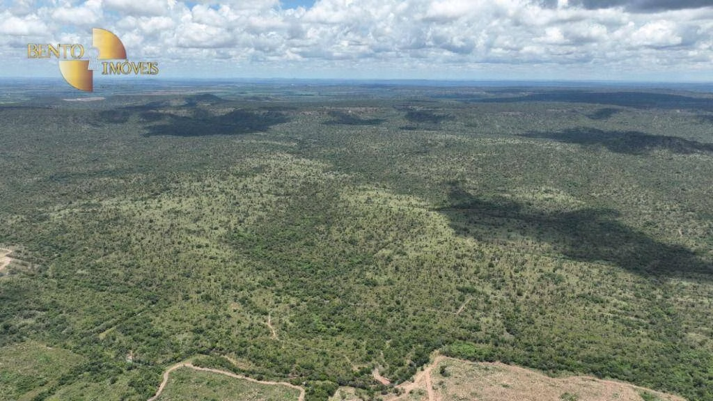
Property's carbon credit generation potential
976.320 credits
Understand how it was calculated
Translated automatically from Portuguese to English
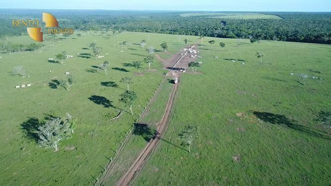
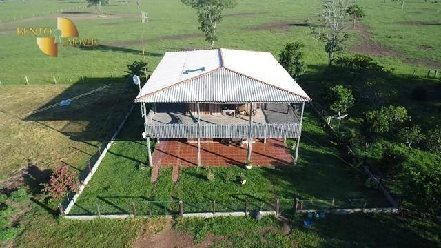
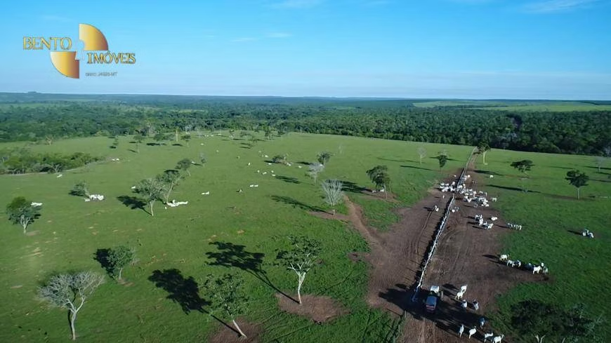
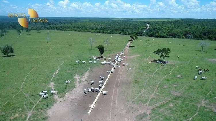
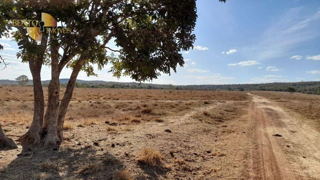
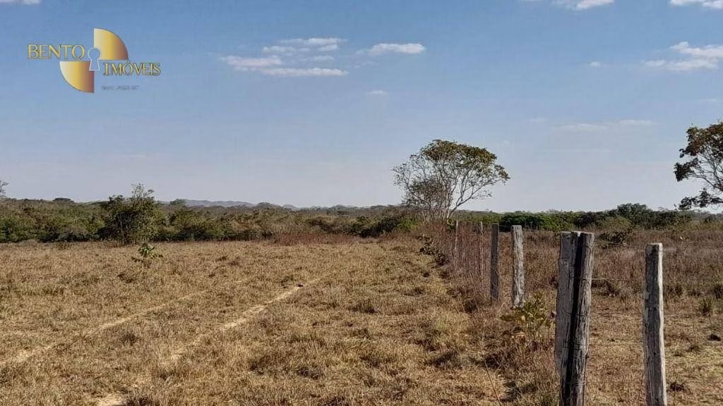
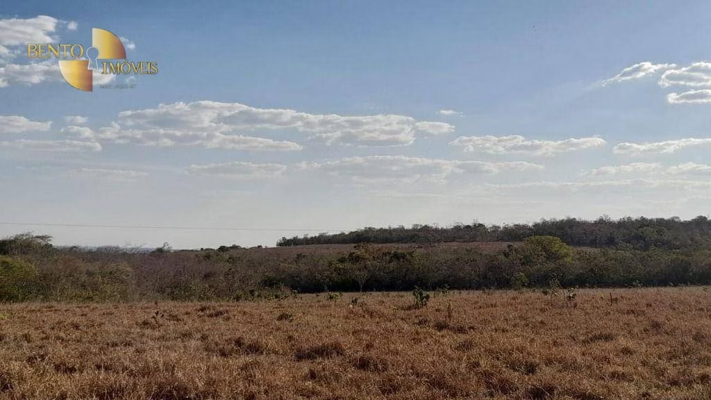
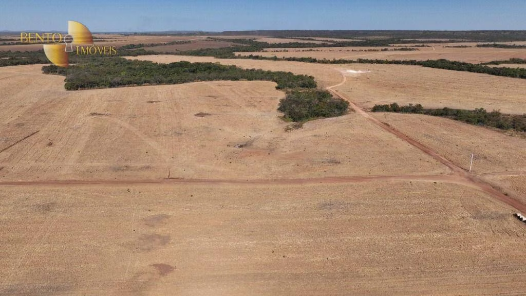
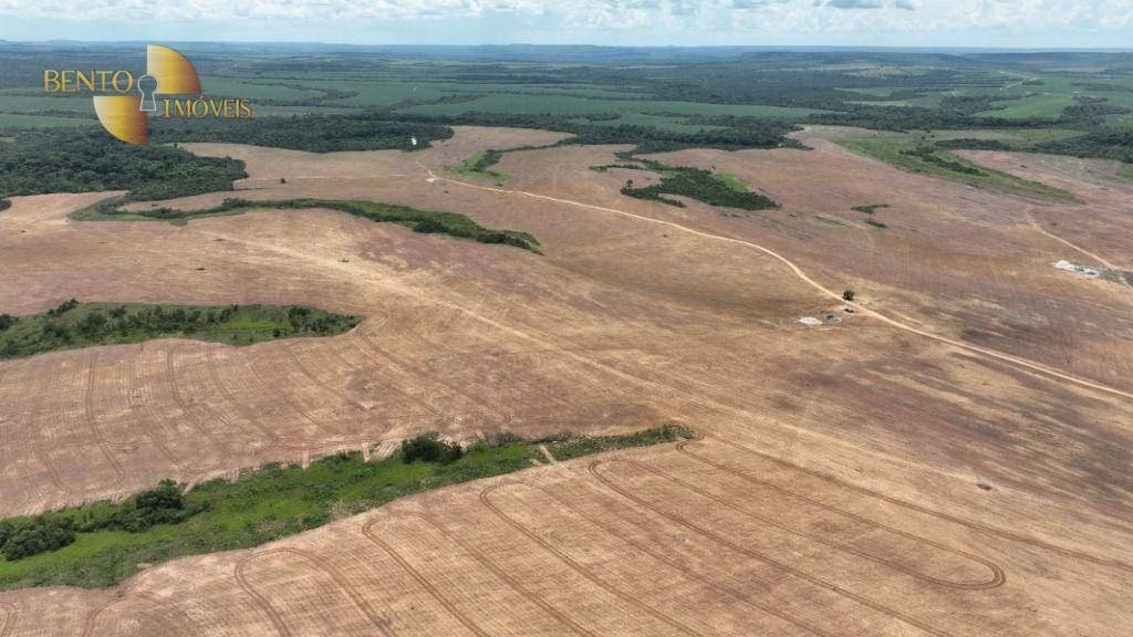
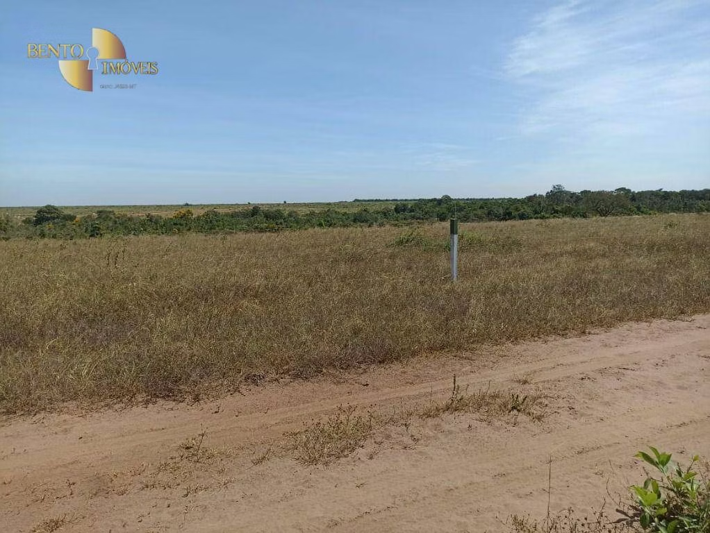
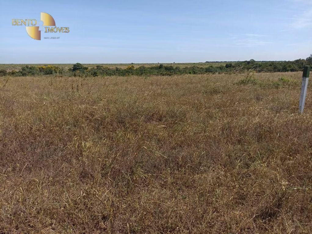
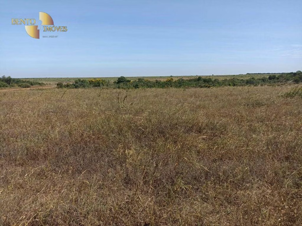
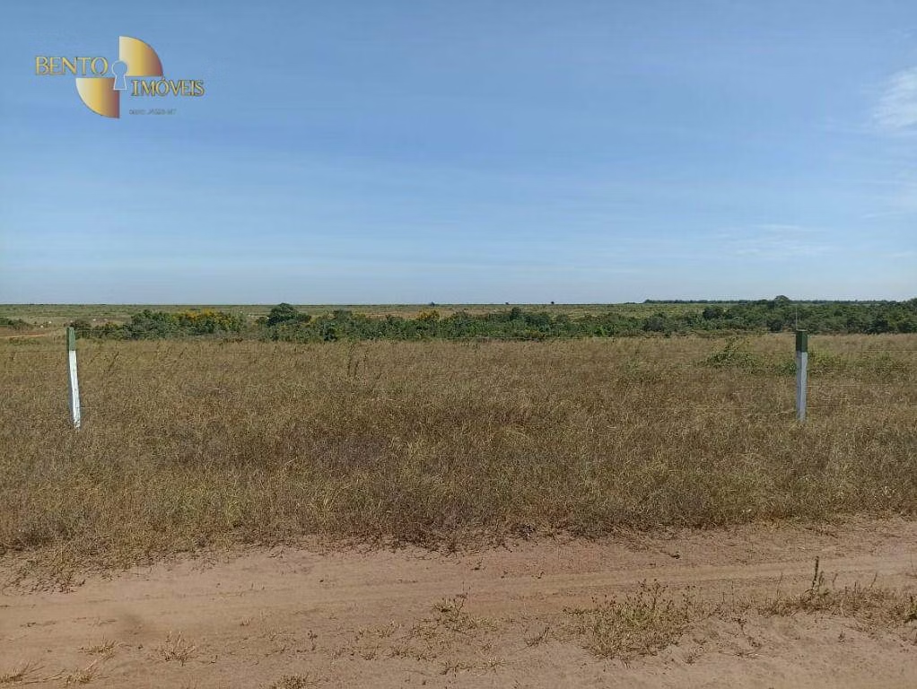
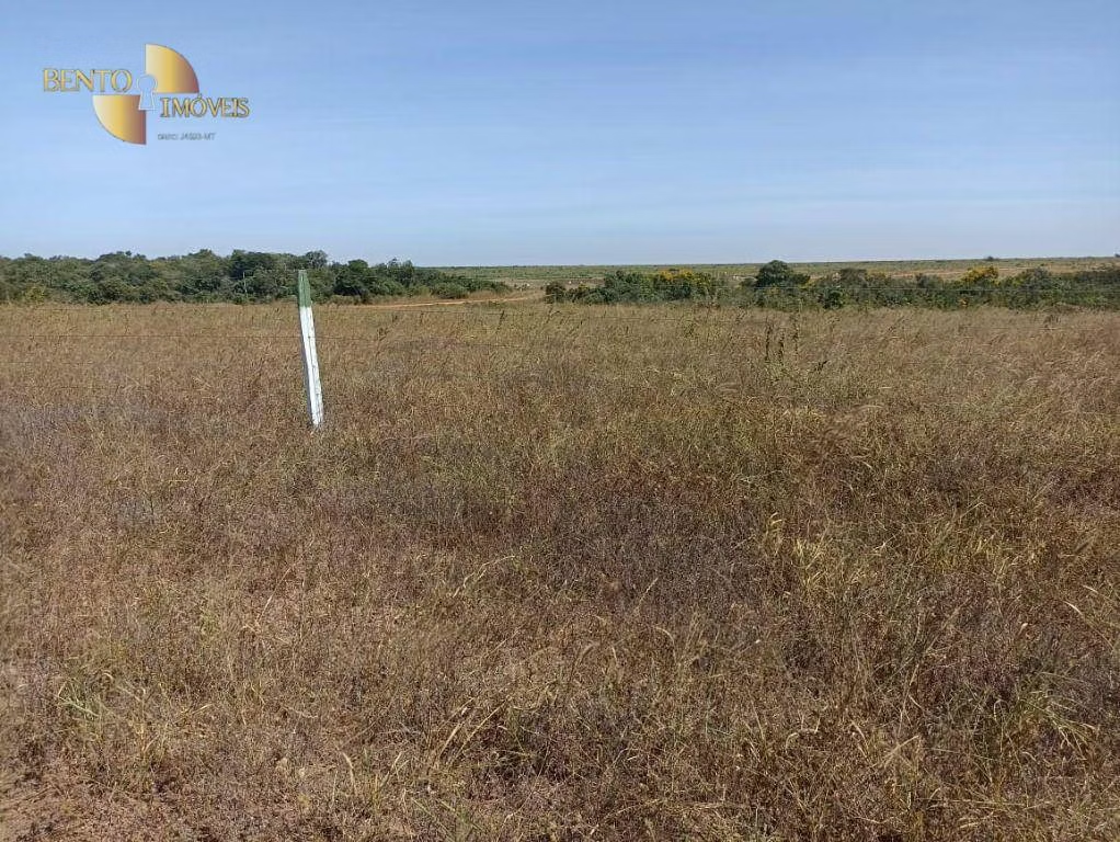
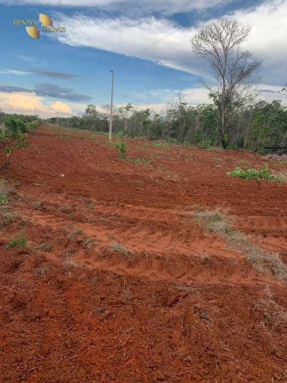
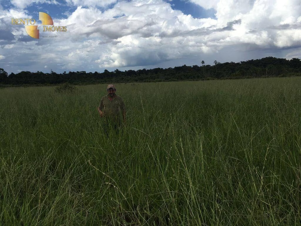
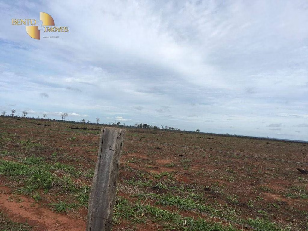
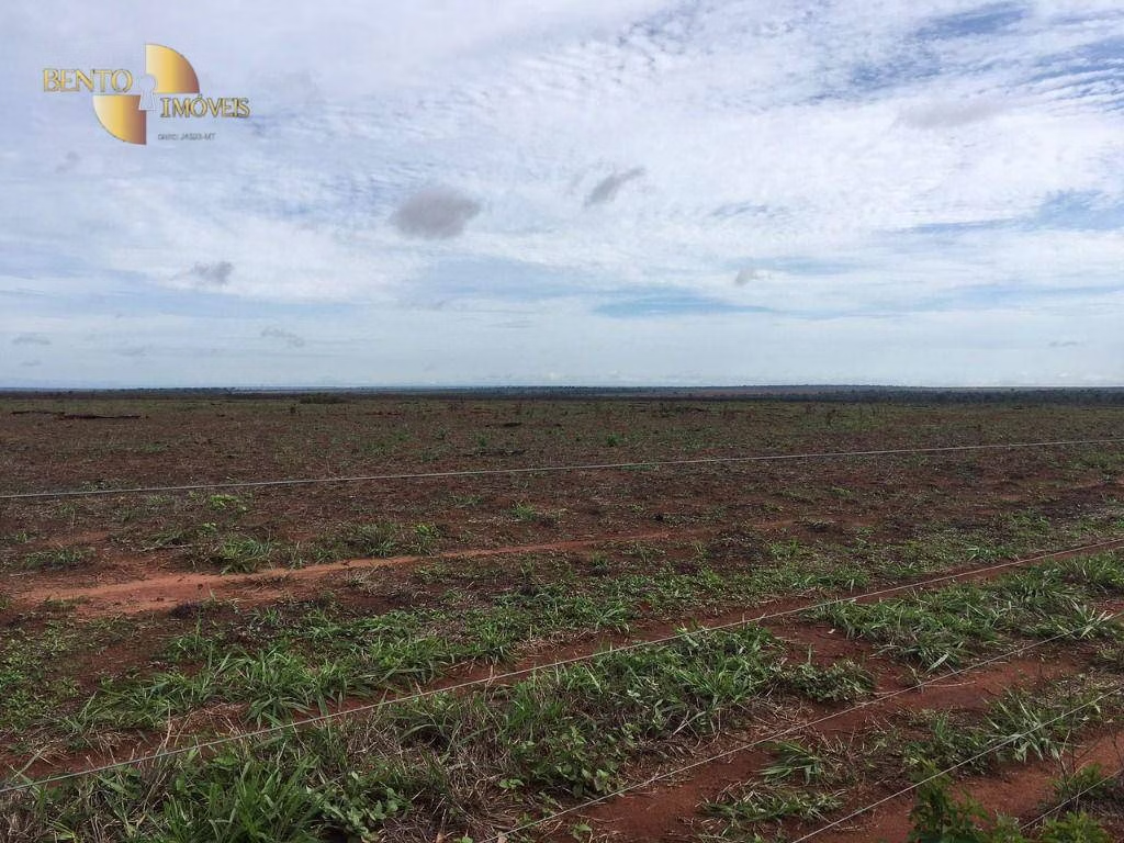
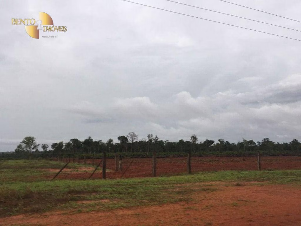
About the property
Water source
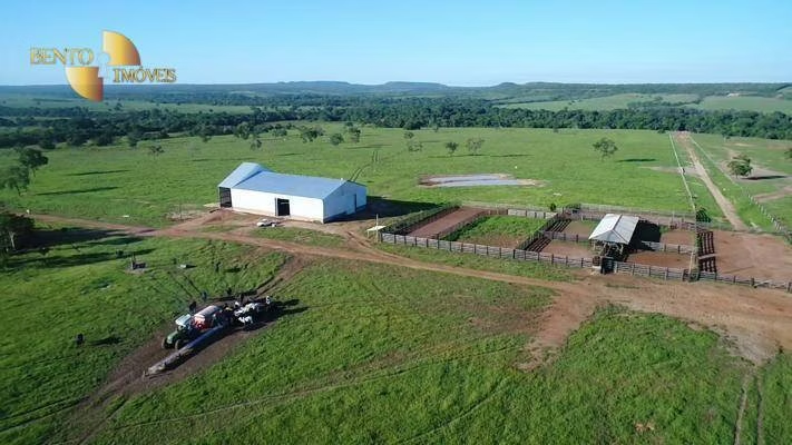
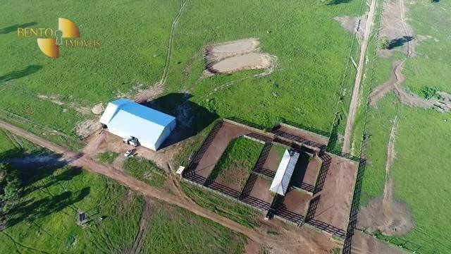
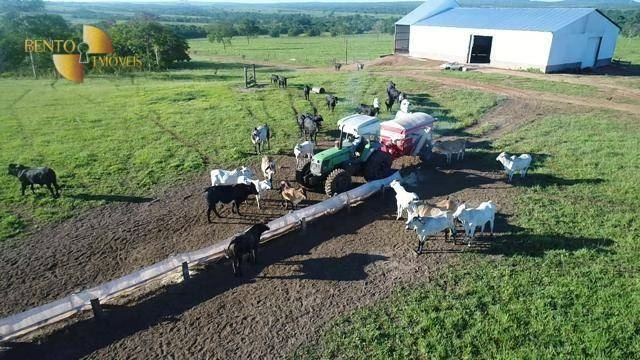
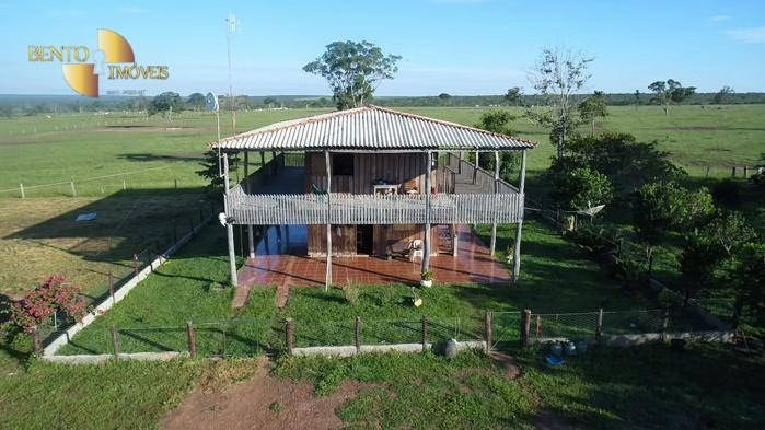
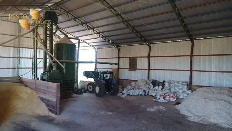
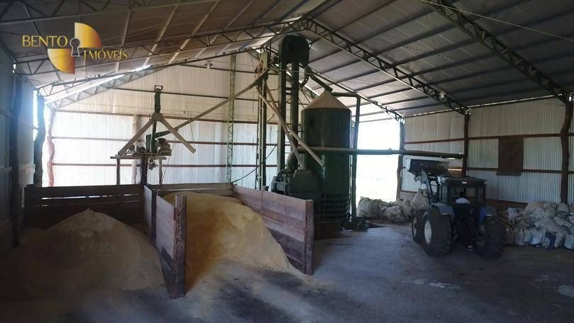
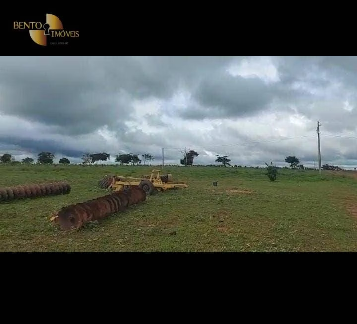
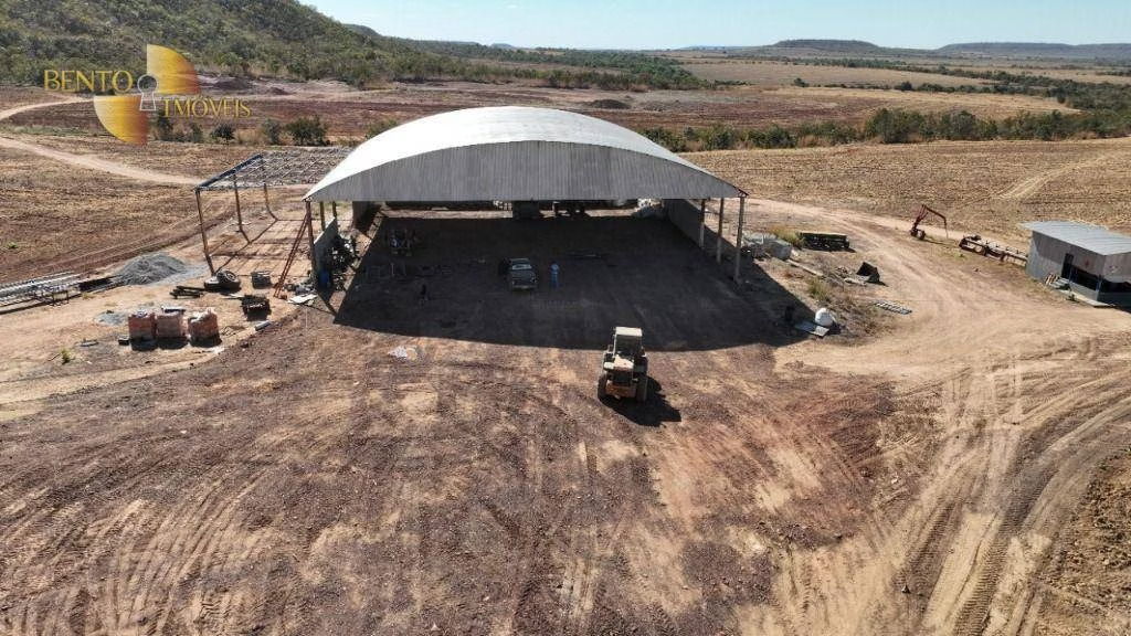
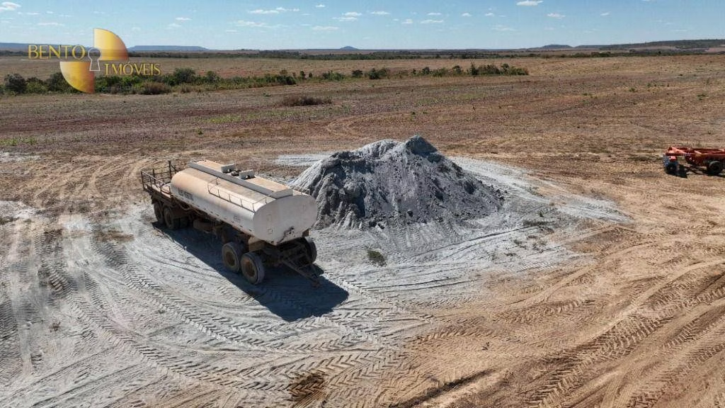
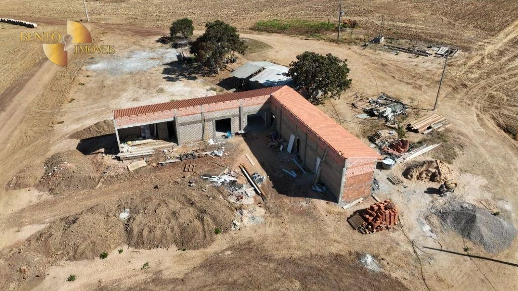
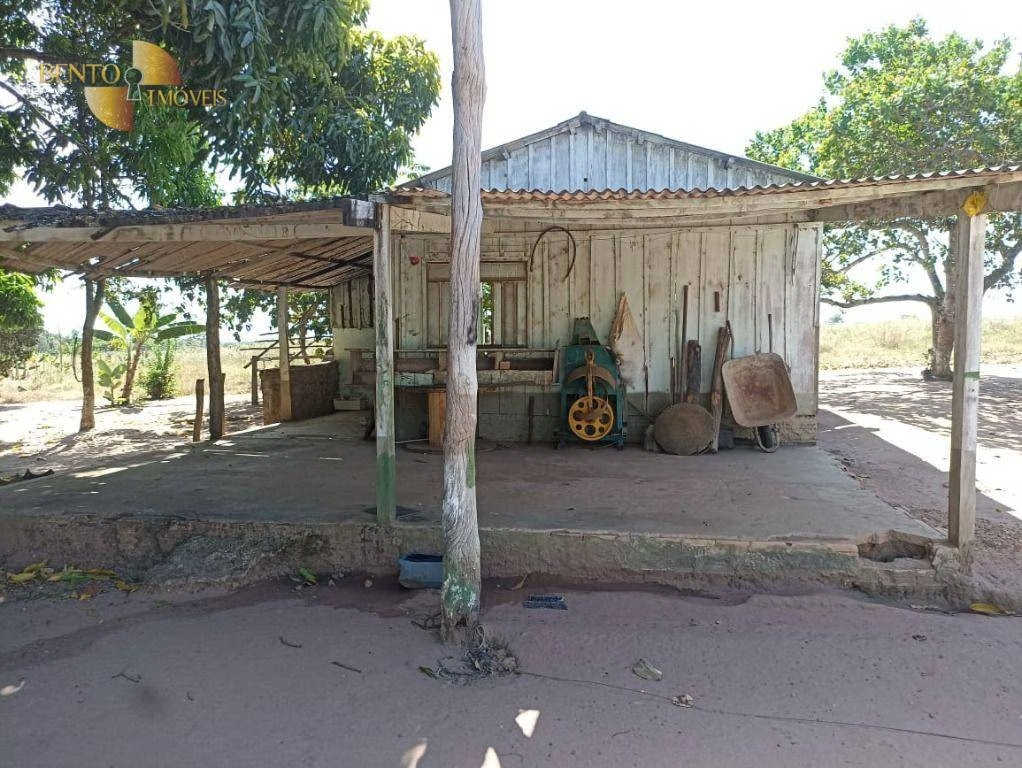
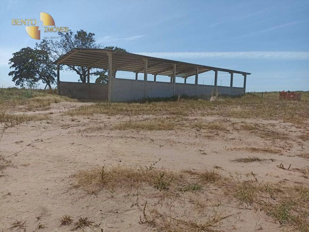
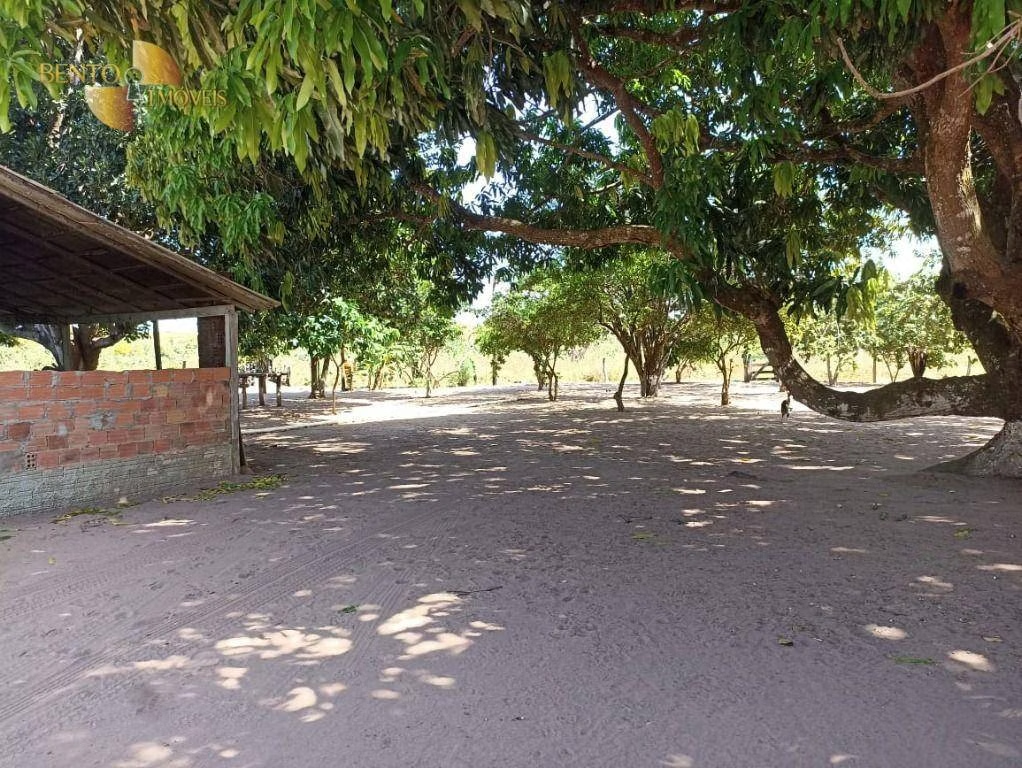
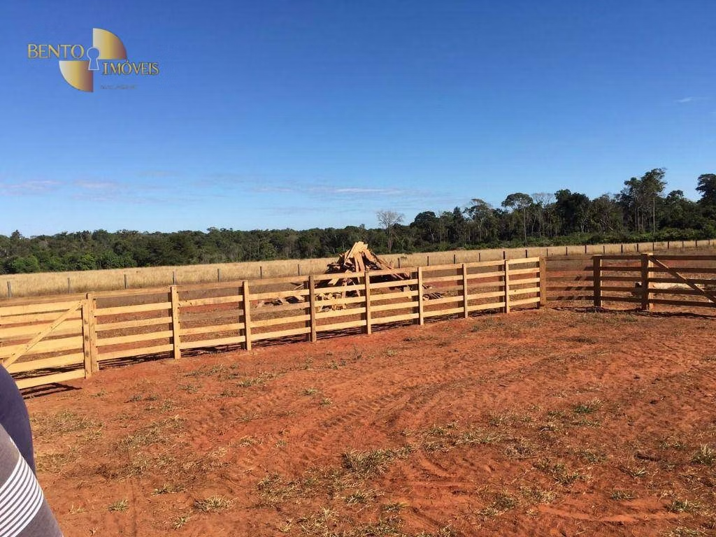
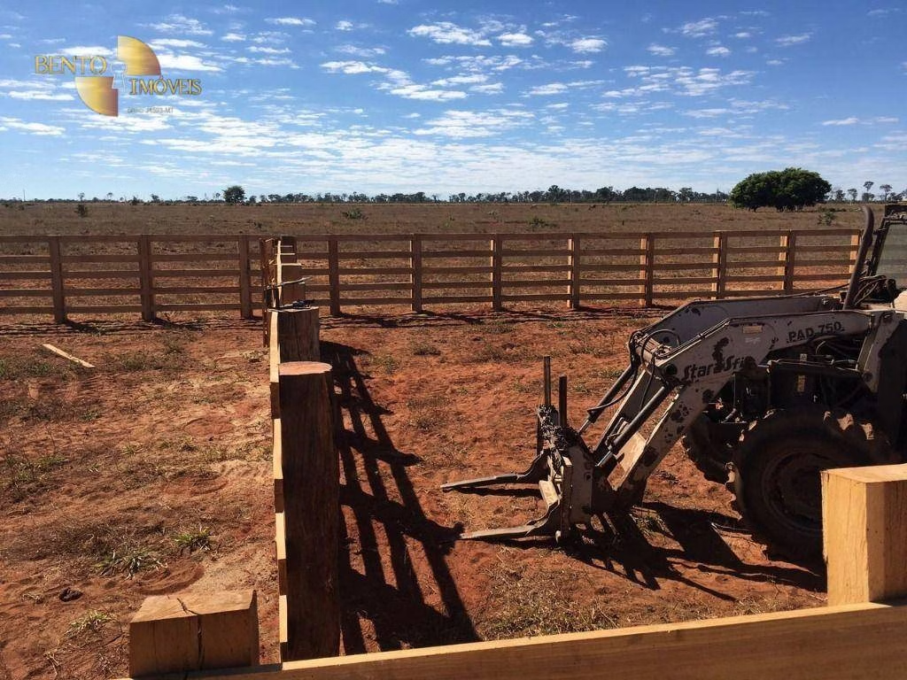
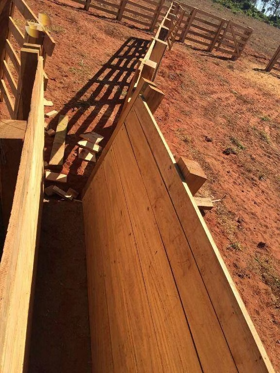
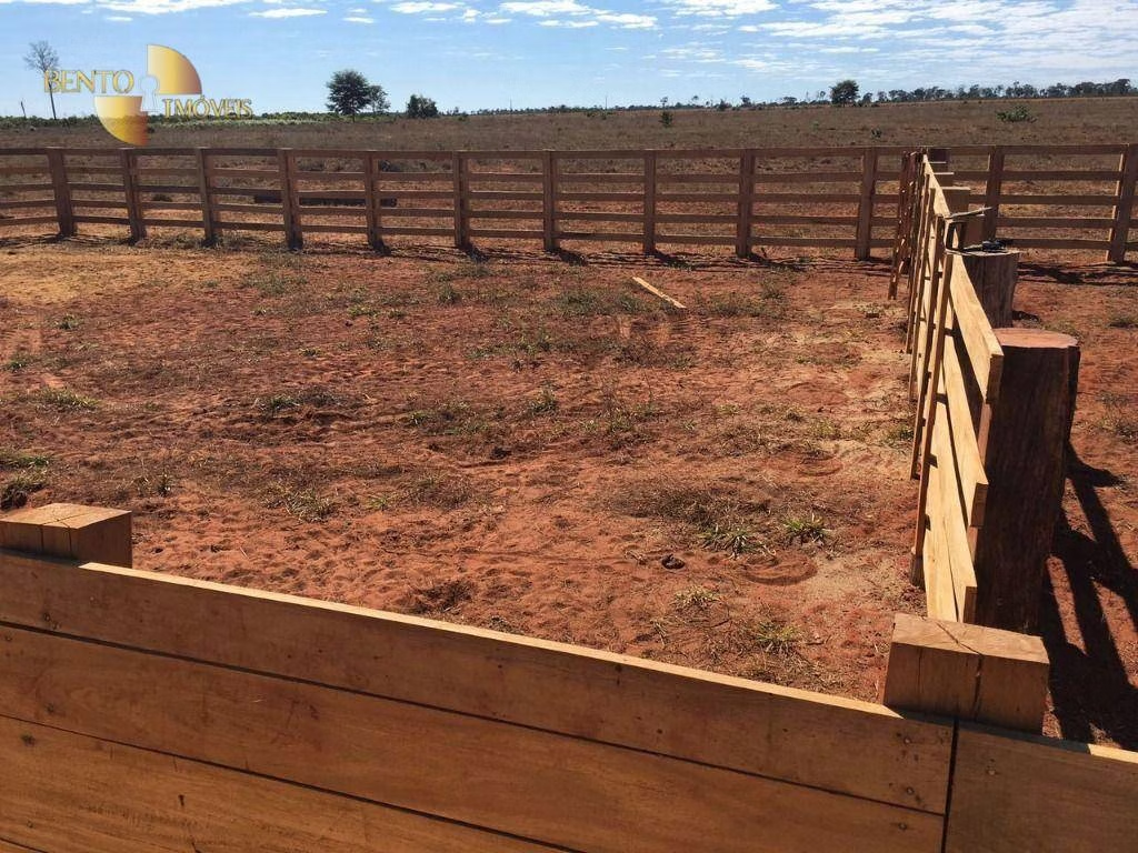
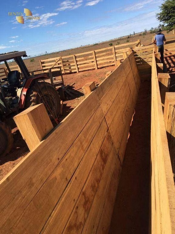
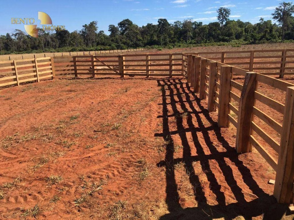
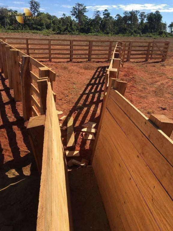
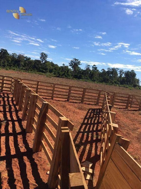
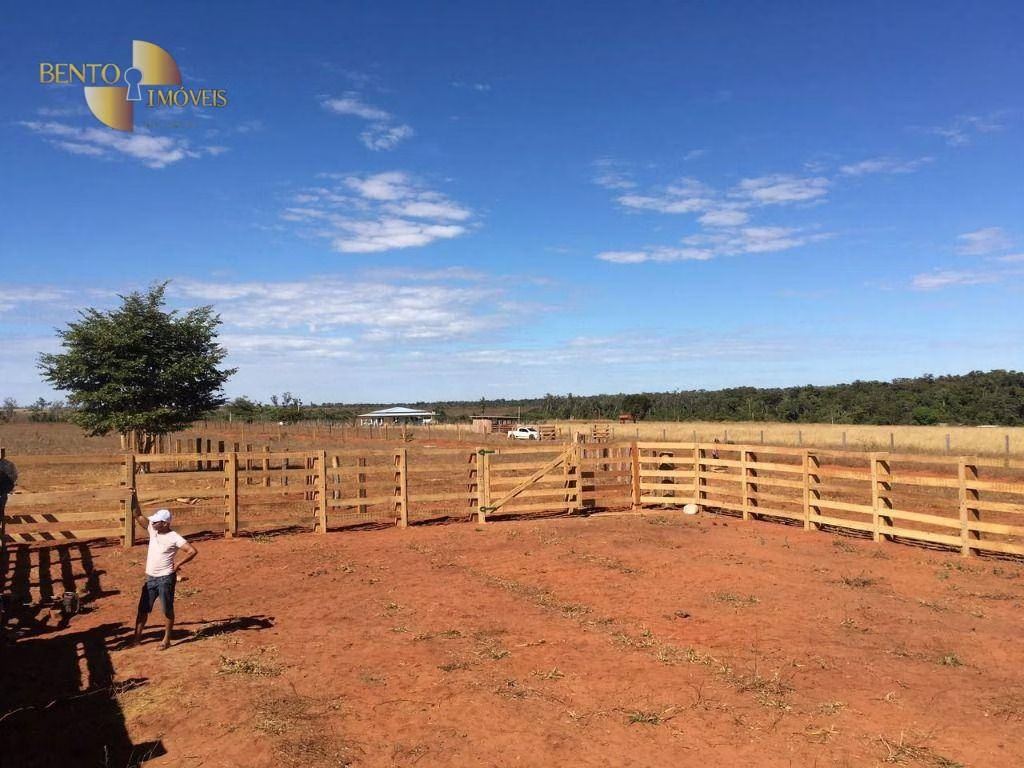
Infrastructure
Documentation
Accepts exchange